2020s Maps of Central High, Oklahoma
Explore 4 historic maps of Central High from the 2020s. These maps offer a rare glimpse into what life looked like during the 2020s — showing old roads, neighborhoods, homes, and landmarks that have changed or disappeared over time.
Whether you're researching your family's past, planning a metal detecting trip, or studying how Central High's landscape evolved across the 2020s, these high-resolution maps are a powerful tool for exploring the history of this region.
- Focus on a specific era: All maps on this page are from the 2020s, giving you a focused view of this time period.
- See what’s changed: Compare century-old streets, trails, and buildings to today's modern landscape using overlays and satellite layers.
- Research with precision: Use these maps for genealogy, historical research, land use analysis, or educational projects.
- View, download, or print: Maps are fully viewable online in high resolution, and can be downloaded or printed for your own records.
Start exploring Central High's history through authentic maps from the 2020s. This is your window into the past.
Central High, OK maps
(4)- 2022 Map of Letitia, 2022 Print
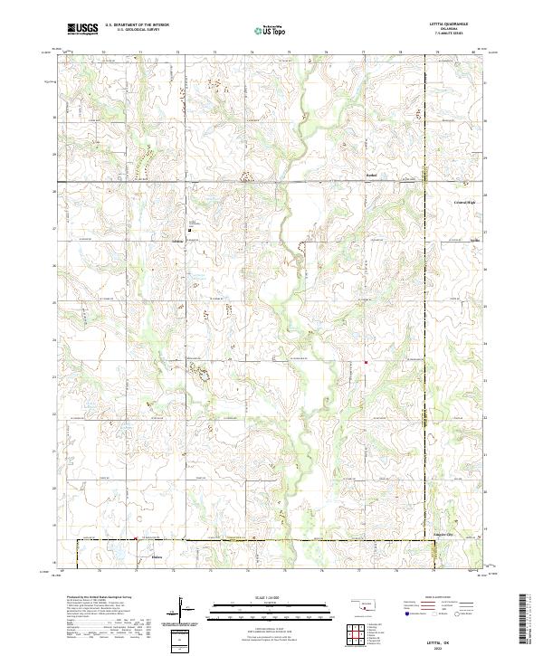 2022 Letitia2022 Print · USGSSoutheastern Oklahoma's rural section lines and creek drainages are mapped here in the modern era. Genealogists can locate family landmarks like the Letitia Community Cem or trace the small settlements of Letitia, Bethel, and Central High.
 - 2022 Map of Nellie, 2022 Print
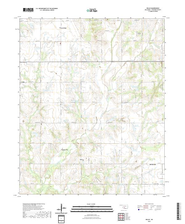 2022 Nellie2022 Print · USGSIn the plains west of Duncan during the early twenty-first century, this area shows a landscape of rural crossroads and oil-country settlements. Researchers can trace family history at Rock Creek Cem or locate old community sites like Nellie and Central High.
 - 2022 Map of Sterling, 2022 Print
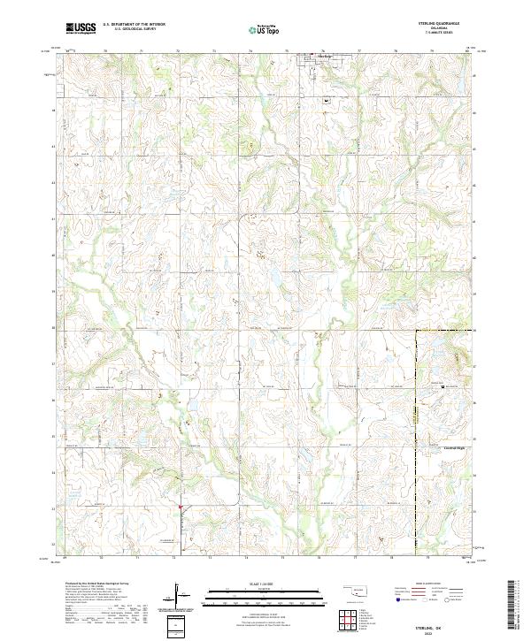 2022 Sterling2022 Print · USGSThe area surrounding Sterling and Central High is shown here as it appeared in the 2020s, defined by its rural road grid and intricate creek systems. Genealogists and researchers can locate family landmarks like the Sterling Cem and Denton Cem among the various reservoirs and drainage basins.
 - 2022 Map of Denton, 2022 Print
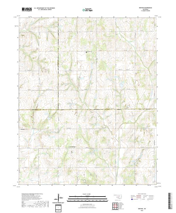 2022 Denton2022 Print · USGSThe borders of Comanche, Grady, and Stephens counties meet in this 2020s rural landscape. Researchers can locate Woodlawn Cem and trace the many waterways like Little Beaver Cr and Cottonwood Cr that define the local terrain.
End of results
Showing maps 1-4 of 4
Top cities near Central High
- Duncan historical maps
- Marlow historical maps
- Comanche historical maps
- Rush Springs historical maps
- Elgin historical maps
- Bray historical maps
See more
Top neighborhoods of Central High
Frequently asked questions
- What are the different types of historical maps available for Central High?
- What is the oldest map of Central High?
- Where can I purchase historical maps of Central High for my home or office?
- Where can I download high-res historical maps of Central High?
- Are there historical topographic maps available for Central High?
- Is there historical aerial imagery available for Central High?
- Where are historical maps of Central High sourced from?