Old Maps of Garden City, Tulsa for Academic Research
Study the evolution of Garden City with 24 high-resolution historic maps. Whether you're teaching, researching, or modeling changes in land use, these maps provide essential visual documentation of urban, environmental, and geographic change.
- Analyze long-term change: Track patterns in development, transportation, and natural features.
- Ideal for environmental or urban studies: Support academic projects with primary historical map data.
- Use in the classroom or lab: Educators and researchers rely on these maps to bring historical context to life.
These maps are a powerful tool for teaching, research, and visualizing how Garden City has changed over the decades.
Garden City, Tulsa maps
(24)- 1901 Map of Claremore
 1901 Claremore1901 Print · USGSThe Cherokee, Osage, and Creek Nations converge in the Indian Territory during this era of rapid railroad expansion. Researchers can trace early settlements and tribal boundaries, locating the Island Ferry, the junction at Claremore, and early Tulsa.4 unique versions available
 - 1912 Map of Hominy, 1960 Print
 1912 Hominy1960 Print · USGSNortheastern Oklahoma comes alive in this pre-reservoir survey, documenting the river-valley settlements and tribal lands of the early statehood era. Genealogists can locate dozens of country schools and sites like Black Dog (Indian Village) or the early Oil City Barnsdall P O.
 - 1914 Map of Claremore, 1959 Print
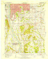
 1914 Claremore1959 Print · USGSNortheastern Oklahoma was a landscape of river crossings and rail towns in the years just before the Great War. Genealogists and researchers can trace the locations of dozens of vanished rural schools like Elm Ridge School, river landmarks such as Thomas Ferry, and the early footprints of Broken Arrow and Tulsa.
 - 1915 Map of Hominy
 1915 Hominy1915 Print · USGSOsage and Creek counties come to life in the years before the Great War, showing a landscape defined by river confluences and the expansion of the rail industry. Genealogists can locate early settlements like Black Dog and schools like Dripping Spring School or Sunset School.2 unique versions available
 - 1916 Map of Claremore
 1916 Claremore1916 Print · USGSThe Verdigris River valley and the burgeoning rail hubs of Rogers and Tulsa counties are captured here just after Oklahoma statehood. Genealogists can locate family homesteads near dozens of early schools like Fair Valley School or early churches such as Greenwood Chapel.4 unique versions available
 - 1952 Map of Jenks, 1953 Print
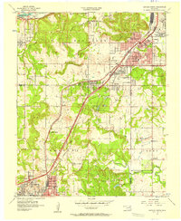
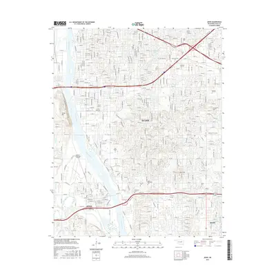
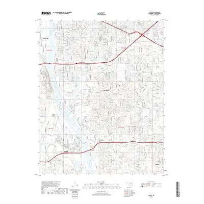
 1952 Jenks1953 Print · USGSThe riverfront and southern hills of Tulsa appear in the early fifties, capturing a period of industrial strength and suburban expansion. Genealogists and historians can locate community landmarks like Rentie Grove Ch, Holland Hall Sch, and the Midland Valley rail line.8 unique versions available
 - 1954 Map of Tulsa
 1954 Tulsa1954 Print · USGSNortheast Oklahoma and the Ozark border are shown here during a period of massive industrial and infrastructure growth. Researchers can trace the legacy of the Tri-State Mining District and the development of major reservoirs like Grand Lake O' The Cherokees.2 unique versions available
 - 1955 Map of Enid, 1966 Print
 1955 Enid1966 Print · USGSNorth-central Oklahoma's transition from open plains to the blackjack hills of the Osage Indian Reservation is captured in the mid-1950s. Researchers can trace the development of the Naval Reserve Oil Field, the grounds of Vance AFB, and the early footprints of Tulsa and Stillwater.4 unique versions available
 - 1956 Map of Sapulpa North, 1957 Print
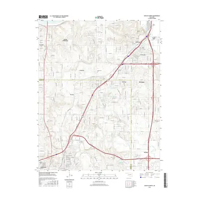
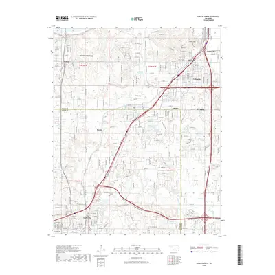
 1956 Sapulpa North1957 Print · USGSSapulpa and southwest Tulsa are caught in a period of industrial and suburban expansion during the mid-fifties. Researchers can trace the path of the Tulsa Sapulpa Union railroad past legacy sites like Little Cussetah Ch, Bowden, and the Oil Refinery.4 unique versions available
 - 1958 Map of Enid
 1958 Enid1958 Print · USGSNorthern Oklahoma is mapped here in the late fifties, showcasing a dense network of petroleum production and historic tribal lands. Researchers can trace the legacy of the Osage Indian Reservation, early energy hubs like the Cushing Oil Field, and the Chilocco Indian Agricultural School.2 unique versions available
 - 1958 Map of Tulsa, 1968 Print
 1958 Tulsa1968 Print · USGSNortheast Oklahoma and the Ozark borderlands are captured here during a massive era of reservoir construction and highway expansion. Researchers can trace the mid-century footprints of Tulsa, the sprawling Lake O' the Cherokees, and historical sites like Pea Ridge National Military Park.3 unique versions available
 - 1963 Map of Tulsa
 1963 Tulsa1963 Print · USGSThe Oklahoma and Arkansas borderlands are shown here in the early sixties, a time of massive reservoir construction and heavy mining. Genealogists can trace family roots through settlements like Nowata, Pryor, and Jay, or locate historical zinc and lead mines and coal mines.
 - 1985 Map of Tulsa
 1985 Tulsa1985 Print · USGSNortheastern Oklahoma in the mid-eighties shows a landscape shaped by massive reservoirs and a bustling transportation network. Researchers can trace the path of the Will Rogers Turnpike or locate local landmarks like Mohawk Park and Oologah Lake.2 unique versions available
 - 1990 Map of Keystone Lake
 1990 Keystone Lake1990 Print · USGSNorth-central Oklahoma's landscape is captured here in the 1990s as the vast waters of Keystone Lake meet the Osage Indian Reservation. Researchers can trace old rail corridors like the St Louis-San Francisco Railway and find local landmarks such as Pawnee Bill State Park or the Oil Field at Oilton.
 - 2010 Map of Jenks, 2010 Print
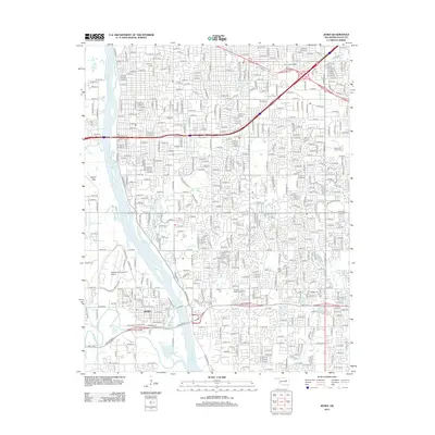
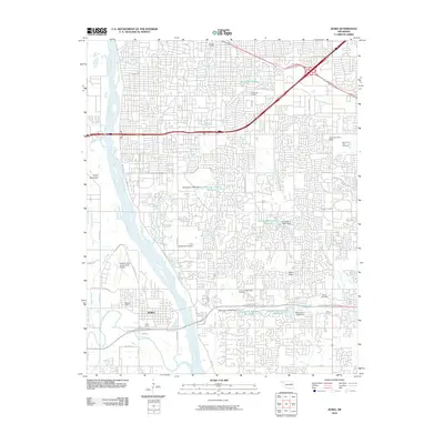 2010 Jenks2010 Print · USGSCovers Garden City, including Tulsa, Bixby, and other nearby areas
 - 2010 Map of Sapulpa North, 2010 Print
 2010 Sapulpa North2010 Print · USGSCovers Garden City, including Tulsa, Sapulpa, and other nearby areas
 - 2012 Map of Jenks, 2012 Print
 2012 Jenks2012 Print · USGSCovers Garden City, including Tulsa, Bixby, and other nearby areas
 - 2012 Map of Sapulpa North, 2012 Print
 2012 Sapulpa North2012 Print · USGSCovers Garden City, including Tulsa, Sapulpa, and other nearby areas
 - 2016 Map of Sapulpa North, 2016 Print
 2016 Sapulpa North2016 Print · USGSCovers Garden City, including Tulsa, Sapulpa, and other nearby areas
 - 2016 Map of Jenks, 2016 Print
 2016 Jenks2016 Print · USGSCovers Garden City, including Tulsa, Bixby, and other nearby areas
 - 2018 Map of Sapulpa North, 2018 Print
 2018 Sapulpa North2018 Print · USGSCovers Garden City, including Tulsa, Sapulpa, and other nearby areas
 - 2019 Map of Jenks, 2019 Print
 2019 Jenks2019 Print · USGSCovers Garden City, including Tulsa, Bixby, and other nearby areas
 - 2022 Map of Sapulpa North, 2022 Print
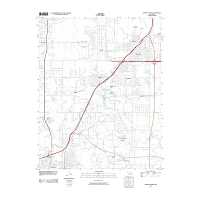
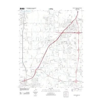
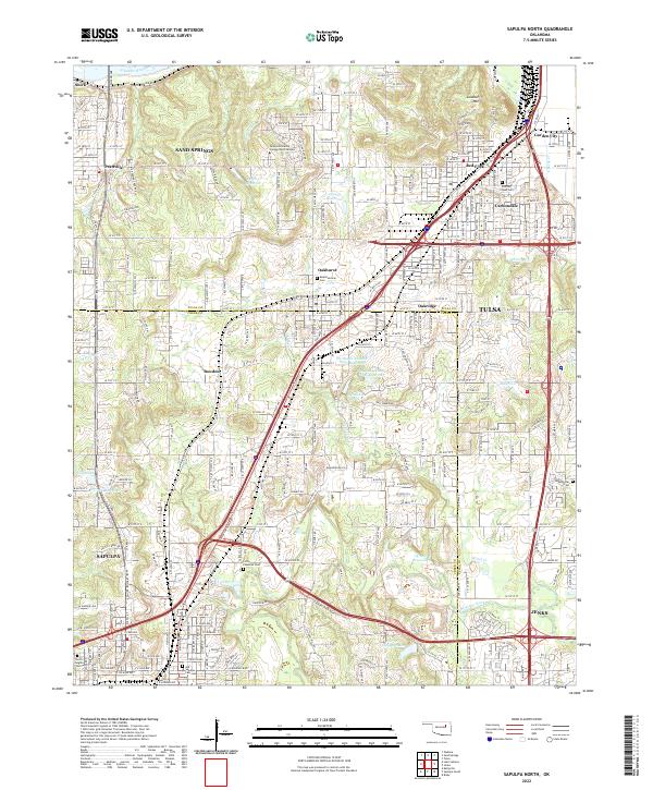 2022 Sapulpa North2022 Print · USGSCreek County and Tulsa County meet in this modern survey of the urban-suburban corridor between Sapulpa and Jenks. Researchers can locate family sites at Little Cussetah Cem, track the BNSF Railway, and find local landmarks like Lookout Mtn.
 - 2022 Map of Jenks, 2022 Print
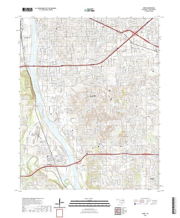 2022 Jenks2022 Print · USGSGreater Tulsa and the riverside community of Jenks are shown here during a period of sustained suburban growth in the early 2020s. Genealogists and local historians can locate established landmarks such as Oral Roberts University, Turkey Mountain, and several historical sites like the Rentie Grove Community Cemetery.
End of results
Showing maps 1-24 of 24
Frequently asked questions
- What are the different types of historical maps available for Garden City?
- What is the oldest map of Garden City?
- Where can I purchase historical maps of Garden City for my home or office?
- Where can I download high-res historical maps of Garden City?
- Are there historical topographic maps available for Garden City?
- Is there historical aerial imagery available for Garden City?
- Where are historical maps of Garden City sourced from?