Old Maps of Corn, Oklahoma for Hiking & Exploration
Hike through history with 16 historic maps of Corn. Explore old trails, ghost towns, and forgotten backroads — perfect for outdoor adventurers and local explorers.
- Rediscover forgotten places: Map out old mining camps, roads, and footpaths that no longer exist on modern maps.
- Layer with modern tools: Combine with LiDAR or satellite views to plan hikes through historical terrain.
- Made for exploration: Popular among hikers, overlanders, and local history lovers.
Use these maps to find adventure and explore the hidden past of Corn.
Corn, OK maps
(16)- 1955 Map of Clinton, 1964 Print
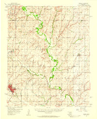
 1955 Clinton1964 Print · USGSWestern Oklahoma during the mid-century transition shows a landscape of growing reservoirs and active military flight lines. Genealogists and historians can locate rural landmarks such as Mountain View Church, Berlin School, and the Riverside Indian School Reserve.3 unique versions available
 - 1956 Map of Cordell, 1958 Print
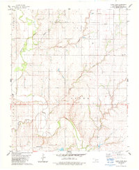
 1956 Cordell1958 Print · USGSWashita County during the mid-fifties reveals a landscape of thriving rail towns and deep-rooted rural congregations. Genealogists can trace family footprints across the St Louis - San Francisco line and through local landmarks like Old Crow Cem or Bessie.2 unique versions available
 - 1957 Map of Clinton
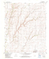
 1957 Clinton1957 Print · USGSWestern Oklahoma in the mid-fifties is captured here as a landscape of river-valley settlements and emerging energy fields. Genealogists can trace family roots through numerous rural landmarks like the Swapping Back Indian School, Hebron Church, and the Riverside Indian School Reserve.
 - 1983 Map of Corn, 1984 Print
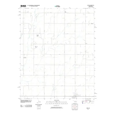
 1983 Corn1984 Print · USGSWashita and Custer counties appear here in the early 1980s, centered on the rural community of Corn. Researchers can trace local lineage at Krimmer Cem and Zion Cem, or locate landmarks like the Bergthal Ch and Sleepy Hill Landing Strip.
 - 1983 Map of Cloud Chief, 1984 Print
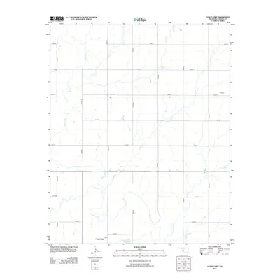
 1983 Cloud Chief1984 Print · USGSWashita County's agricultural landscape is documented here in the early 1980s, centered on the settlement of Cloud Chief. Researchers can trace old family lineages and rural homesteads through landmarks like Shelley Cem, Brethren Cem, and the winding Washita River.
 - 1986 Map of Anadarko
 1986 Anadarko1986 Print · USGSThe Oklahoma plains around Anadarko are captured in the mid-1980s, showing the intersection of rail history and tribal heritage. Genealogists and historians can trace the Indian Treaty Boundary or locate old rail stops along the Burlington Northern Railroad and Atchison, Topeka and Santa Fe Railway.2 unique versions available
 - 2010 Map of Cloud Chief, 2010 Print
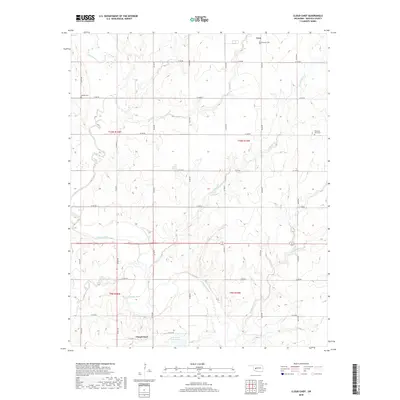
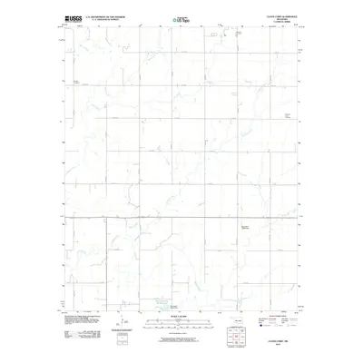 2010 Cloud Chief2010 Print · USGSCovers Corn, including Cloud Chief, Washita County, and other nearby areas
 - 2010 Map of Corn, 2010 Print
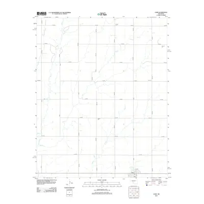
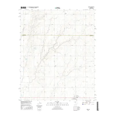
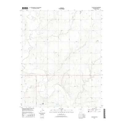
 2010 Corn2010 Print · USGSCovers Corn, including Custer County, Washita County, and other nearby areas
 - 2012 Map of Cloud Chief, 2012 Print
 2012 Cloud Chief2012 Print · USGSCovers Corn, including Cloud Chief, Washita County, and other nearby areas
 - 2012 Map of Corn, 2012 Print
 2012 Corn2012 Print · USGSCovers Corn, including Custer County, Washita County, and other nearby areas
 - 2016 Map of Corn, 2016 Print
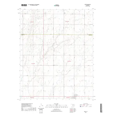
 2016 Corn2016 Print · USGSCovers Corn, including Custer County, Washita County, and other nearby areas
 - 2016 Map of Cloud Chief, 2016 Print
 2016 Cloud Chief2016 Print · USGSCovers Corn, including Cloud Chief, Washita County, and other nearby areas
 - 2018 Map of Cloud Chief, 2018 Print
 2018 Cloud Chief2018 Print · USGSCovers Corn, including Cloud Chief, Washita County, and other nearby areas
 - 2018 Map of Corn, 2018 Print
 2018 Corn2018 Print · USGSCovers Corn, including Custer County, Washita County, and other nearby areas
 - 2022 Map of Corn, 2022 Print
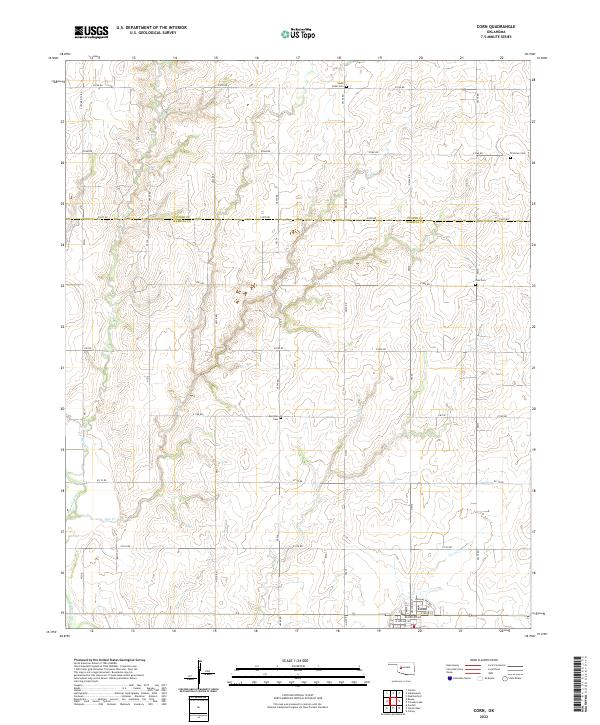 2022 Corn2022 Print · USGSThe community of Corn and the rural borderlands of Washita and Custer Counties are captured here in the twenty-first century. Researchers can trace the section-line roads to early burial grounds like Zion Cem, Bergthal Cem, and the winding Washita River.
 - 2022 Map of Cloud Chief, 2022 Print
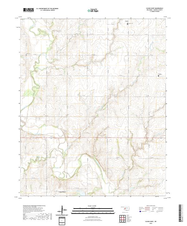 2022 Cloud Chief2022 Print · USGSWashita County, Oklahoma, is shown in the early 2020s as a landscape of river bends and rural settlements. Researchers can locate family heritage sites like Shelley Cem and Pleasant View Cem near the banks of the Washita River.
End of results
Showing maps 1-16 of 16
Top cities near Corn
- Weatherford historical maps
- Clinton historical maps
- New Cordell historical maps
- Arapaho historical maps
- Eakly historical maps
- Bessie historical maps
See more
Frequently asked questions
- What are the different types of historical maps available for Corn?
- What is the oldest map of Corn?
- Where can I purchase historical maps of Corn for my home or office?
- Where can I download high-res historical maps of Corn?
- Are there historical topographic maps available for Corn?
- Is there historical aerial imagery available for Corn?
- Where are historical maps of Corn sourced from?