Old Maps of Waynoka, Oklahoma
Explore 16 old maps of Waynoka, spanning from 1955 to today. These high-resolution historic maps reveal how streets, neighborhoods, landmarks, and natural features evolved over time — perfect for genealogy, metal detecting, research, and local history exploration.
What you can do with these maps:
- See how Waynoka changed over time: Compare historical maps to modern-day views to trace roads, homesites, rail lines & more.
- View detailed metadata: Each map includes creators, publishers, year, scale, and archive source.
- Overlay maps with satellite & LiDAR: Visualize the past alongside modern tools to explore terrain & human change.
- Trusted historical sources: Maps sourced from the USGS, Library of Congress, and other archives.
- Access maps your way: View online, download high-res files, or order prints for personal or research use.
Start exploring old maps of Waynoka to uncover forgotten places, hidden landmarks, and the deep history beneath your feet.
Waynoka, OK maps
(16)- 1955 Map of Woodward, 1967 Print
 1955 Woodward1967 Print · USGSNorthwest Oklahoma and the bordering plains are captured during the mid-sixties, showing a landscape defined by river valleys and massive water projects. Researchers can trace family roots in towns like Woodward and Alva or locate landmarks such as the Western Oklahoma State Hospital and Kegelman AF.3 unique versions available
 - 1958 Map of Woodward
 1958 Woodward1958 Print · USGSNorthwest Oklahoma and the neighboring panhandle borders are shown here during a period of steady mid-century growth. Researchers can trace the rail networks of the Atchison Topeka and Santa Fe and locate landmarks like the Western Oklahoma State Hospital and Port Supply Reservoir.2 unique versions available
 - 1969 Map of Waynoka East, 1971 Print
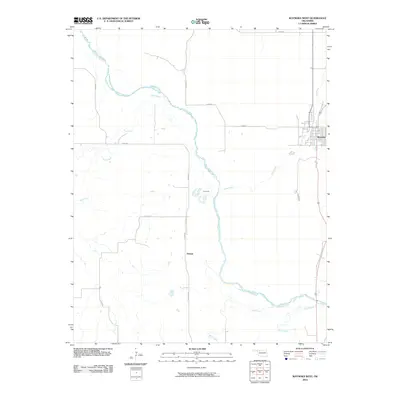
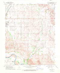 1969 Waynoka East1971 Print · USGSWoods County in the late sixties is revealed here as a landscape of rail transit and river boundaries. Genealogists and local historians can trace family ties to landmarks like Walnut Grove Cem, Rose Valley Sch, and the busy Waynoka rail corridor.
 - 1969 Map of Waynoka West, 1971 Print
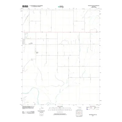
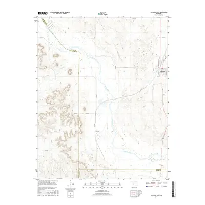
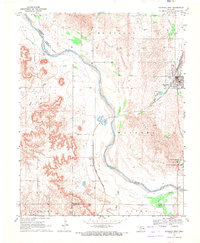 1969 Waynoka West1971 Print · USGSWoods County in the late sixties reveals a landscape defined by the winding Cimarron River and the bustling rail operations in Waynoka. Genealogists and historians can trace the rail corridor through Heman or locate the early layout of the Little Sahara State Recreation Area.2 unique versions available
 - 1985 Map of Alva, 1986 Print
 1985 Alva1986 Print · USGSNorthern Oklahoma in the mid-eighties was a landscape of rail-connected prairie towns and unique geologic features. Researchers can trace the legacy of the ATCHISON TOPEKA AND SANTA FE through Alva, locate the State School for Boys, or explore the boundaries of the Great Salt Plains Reservoir.
 - 1990 Map of Alva
 1990 Alva1990 Print · USGSThe Oklahoma-Kansas borderlands in the 1990s reveal a landscape shaped by vast salt flats and crucial rail corridors. Genealogists and historians can trace the growth of Alva and Waynoka or locate landmarks like the State School for Boys and Little Sahara State Park.
 - 2010 Map of Waynoka East, 2010 Print
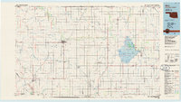
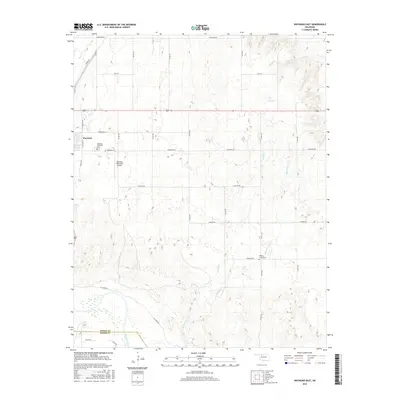
 2010 Waynoka East2010 Print · USGSCovers Waynoka, including Woods County, Major County, and other nearby areas
 - 2010 Map of Waynoka West, 2010 Print
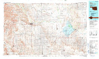
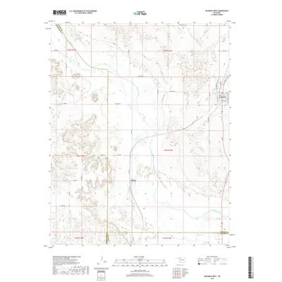
 2010 Waynoka West2010 Print · USGSCovers Waynoka, including Heman, Woodward County, and other nearby areas
 - 2012 Map of Waynoka West, 2012 Print
 2012 Waynoka West2012 Print · USGSCovers Waynoka, including Heman, Woodward County, and other nearby areas
 - 2012 Map of Waynoka East, 2012 Print
 2012 Waynoka East2012 Print · USGSCovers Waynoka, including Woods County, Major County, and other nearby areas
 - 2016 Map of Waynoka West, 2016 Print
 2016 Waynoka West2016 Print · USGSCovers Waynoka, including Heman, Woodward County, and other nearby areas
 - 2016 Map of Waynoka East, 2016 Print
 2016 Waynoka East2016 Print · USGSCovers Waynoka, including Woods County, Major County, and other nearby areas
 - 2018 Map of Waynoka West, 2018 Print
 2018 Waynoka West2018 Print · USGSCovers Waynoka, including Heman, Woodward County, and other nearby areas
 - 2018 Map of Waynoka East, 2018 Print
 2018 Waynoka East2018 Print · USGSCovers Waynoka, including Woods County, Major County, and other nearby areas
 - 2022 Map of Waynoka East, 2022 Print
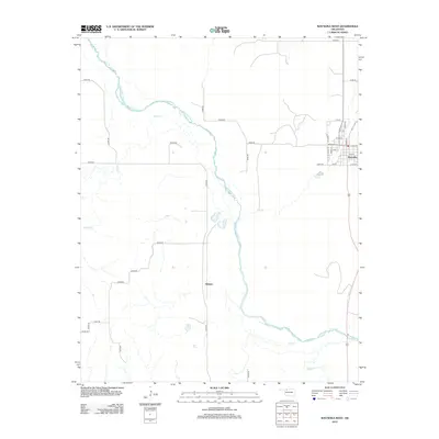
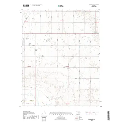
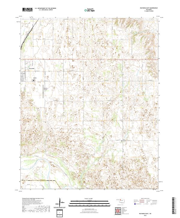 2022 Waynoka East2022 Print · USGSWoods County remains a landscape of section-line roads and river breaks in this recent survey. Researchers can trace local history through sites like the Waynoka Municipal Cem or follow the path of Walnut Grove Cr to the Cimarron River.
 - 2022 Map of Waynoka West, 2022 Print
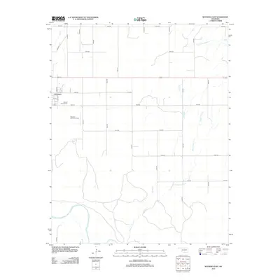
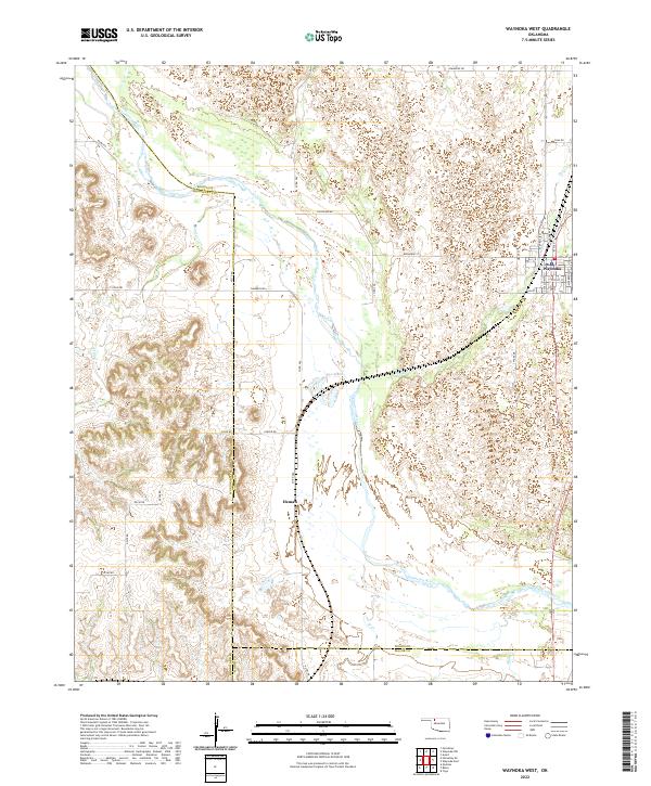 2022 Waynoka West2022 Print · USGSThe Cimarron River valley in the early 2020s remains a landscape of high plains ranching and remote settlements. Researchers can trace the street grid of Waynoka and the river-side location of Heman alongside local landmarks like Dog Cr and Sahara Dr.
End of results
Showing maps 1-16 of 16
Top cities near Waynoka
Frequently asked questions
- What are the different types of historical maps available for Waynoka?
- What is the oldest map of Waynoka?
- Where can I purchase historical maps of Waynoka for my home or office?
- Where can I download high-res historical maps of Waynoka?
- Are there historical topographic maps available for Waynoka?
- Is there historical aerial imagery available for Waynoka?
- Where are historical maps of Waynoka sourced from?