Old Maps of Encina, Oregon for Metal Detecting
Plan your next treasure hunt with 10 historic maps of Encina. Find old homesites, ghost towns, trails, and gathering spots that may be lost to time — perfect for identifying promising metal detecting locations.
- Locate forgotten sites: Uncover places like long-lost settlements, abandoned rail lines, or gathering spots.
- Plan better hunts: Use map overlays combined with LiDAR or satellite views to narrow in on historically rich areas.
- Made for detectorists: Thousands of hobbyists use these maps to discover relics, coins, and hidden history.
Use these historic maps to boost your research and find new opportunities beneath the surface of Encina.
Encina, OR maps
(10)- 1901 Map of Baker City
 1901 Baker City1901 Print · USGSBaker County at the close of the century was a landscape of bustling rail hubs and active mining districts. Genealogists and historians can trace early settlements like Auburn, follow the Sumpter Valley Railroad line, or locate specific operations like the Flagstaff Mine.4 unique versions available
 - 1955 Map of Baker, 1964 Print
 1955 Baker1964 Print · USGSThe Oregon-Idaho borderlands are captured here in the mid-fifties as the Snake River underwent massive changes from dam construction. Trace the Oregon Trail Memorial Monument near Baker, find early mines like Virtue Mine, and follow the Union Pacific Railroad through Huntington.4 unique versions available
 - 1959 Map of Baker
 1959 Baker1959 Print · USGSThe Oregon and Idaho borderlands come alive in the late fifties, showing the rugged corridor along the Snake River and the high peaks of the Wallowa Mountains. Researchers can trace the legacy of the Union Pacific railroad or locate historic mining sites like the Flagstaff Mine and Virtue Mine.2 unique versions available
 - 1967 Map of Encina, 1971 Print
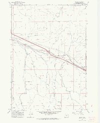 1967 Encina1971 Print · USGSBaker County's mining and transit history is on full display in the late sixties as the rail corridor shapes the landscape. Trace the legacy of old workings at the White Swan Mine and Brazos Mine, or locate the rural Cem near Dogtown Creek.4 unique versions available
 - 1981 Map of Baker
 1981 Baker1981 Print · USGSEastern Oregon in the early eighties shows a landscape of deep canyons and high mountain mining districts. Genealogists and researchers can trace the Union Pacific corridor through Baker or locate remote operations like the Young American Mine and Rachel Mine.2 unique versions available
 - 1993 Map of Encina
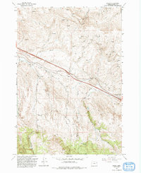 1993 Encina1993 Print · USGSThe mining and ranching country of eastern Oregon is captured here in the early nineties, centered on the historic settlements of Encina and Pleasant Valley. Researchers can trace the legacy of resource extraction through the Uncle Dan Mine, the Brazos Mine, and a local Cem.
 - 2011 Map of Encina, 2011 Print
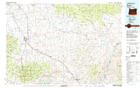
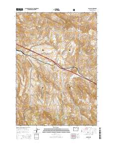
 2011 Encina2011 Print · USGSCovers Encina, including Pleasant Valley, Baker County, and other nearby areas
 - 2014 Map of Encina, 2014 Print
 2014 Encina2014 Print · USGSCovers Encina, including Pleasant Valley, Baker County, and other nearby areas
 - 2020 Map of Encina, 2020 Print
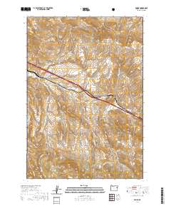 2020 Encina2020 Print · USGSCovers Encina, including Pleasant Valley, Baker County, and other nearby areas
 - 2024 Map of Encina, 2024 Print
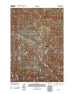
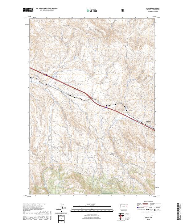 2024 Encina2024 Print · USGSThe high desert and forest margins of Baker County come alive in this map of the Pleasant Valley area. Genealogists can locate family names at Pleasant Valley Cem and trace old routes like Old US Hwy 30 and Ebell Cr Rd.
End of results
Showing maps 1-10 of 10
Top cities near Encina
Frequently asked questions
- What are the different types of historical maps available for Encina?
- What is the oldest map of Encina?
- Where can I purchase historical maps of Encina for my home or office?
- Where can I download high-res historical maps of Encina?
- Are there historical topographic maps available for Encina?
- Is there historical aerial imagery available for Encina?
- Where are historical maps of Encina sourced from?