2000s (21st Century) Maps of Oxbow, Oregon
Explore 5 historic maps of Oxbow from the 2000s (21st Century). These maps offer a rare glimpse into what life looked like during the 2000s — showing old roads, neighborhoods, homes, and landmarks that have changed or disappeared over time.
Whether you're researching your family's past, planning a metal detecting trip, or studying how Oxbow's landscape evolved across the 2000s, these high-resolution maps are a powerful tool for exploring the history of this region.
- Focus on a specific era: All maps on this page are from the 2000s, giving you a focused view of this time period.
- See what’s changed: Compare century-old streets, trails, and buildings to today's modern landscape using overlays and satellite layers.
- Research with precision: Use these maps for genealogy, historical research, land use analysis, or educational projects.
- View, download, or print: Maps are fully viewable online in high resolution, and can be downloaded or printed for your own records.
Start exploring Oxbow's history through authentic maps from the 2000s. This is your window into the past.
Oxbow, OR maps
(5)- 2004 Map of Oxbow, 2007 Print
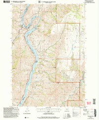 2004 Oxbow2007 Print · USGSThe Oregon-Idaho border at the Snake River is captured here in the early 2000s, centered on the heavy hydroelectric operations at The Oxbow. Researchers can trace the industrial layout of the Oxbow Dam and Powerplant alongside local landmarks like the Fish Hatchery and Landing Strip.
 - 2011 Map of Oxbow, 2011 Print
 2011 Oxbow2011 Print · USGSCovers Oxbow, including Baker County, Adams County, and other nearby areas
 - 2014 Map of Oxbow, 2014 Print
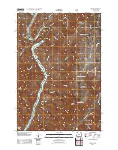
 2014 Oxbow2014 Print · USGSCovers Oxbow, including Baker County, Adams County, and other nearby areas
 - 2020 Map of Oxbow, 2020 Print
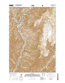
 2020 Oxbow2020 Print · USGSCovers Oxbow, including Baker County, Adams County, and other nearby areas
 - 2023 Map of Oxbow, 2023 Print
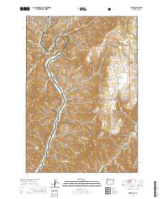
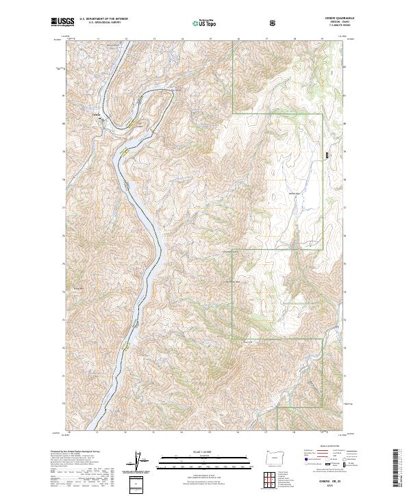 2023 Oxbow2023 Print · USGSThe Snake River canyon at the Oregon-Idaho border is defined by the massive horseshoe bend of The Oxbow. You can trace remote backcountry access via Hells Canyon Rd, locate the riverside settlement of Oxbow, and find landmarks like Barber Flat and the Oxbow Airport.
End of results
Showing maps 1-5 of 5
Frequently asked questions
- What are the different types of historical maps available for Oxbow?
- What is the oldest map of Oxbow?
- Where can I purchase historical maps of Oxbow for my home or office?
- Where can I download high-res historical maps of Oxbow?
- Are there historical topographic maps available for Oxbow?
- Is there historical aerial imagery available for Oxbow?
- Where are historical maps of Oxbow sourced from?