Old Maps of Breakers Point, Cannon Beach for Genealogy
Trace your family roots with 14 historic maps of Breakers Point. These high-res maps reveal old neighborhoods, homesites, landmarks, and streets — helping you uncover where your ancestors lived and how the area evolved over time.
- Explore historic neighborhoods: Identify where your relatives may have lived in the 1800s or 1900s.
- Compare maps over time: Trace the changes in streets, buildings, and landmarks for multi-generational research.
- Perfect for genealogy & ancestry research: Used by family historians and researchers to map out lineage and migration.
These maps are an incredible resource for exploring your personal connection to Breakers Point's past.
Breakers Point, Cannon Beach maps
(14)- 1940 Map of Cape Falcon
 1940 Cape Falcon1940 Print · USGSCoastal Clatsop County is captured just before the war, showing the development of Seaside and Cannon Beach along the Pacific. Researchers can trace early logging operations at the Markham Callow Logging Camp or locate the Ferndale Sch and Henderson Ranch.
 - 1948 Map of Vancouver, 1957 Print
 1948 Vancouver1957 Print · USGSPost-war growth transforms the river valleys of the Pacific Northwest as the timber and rail economy thrives. Trace family roots in Tillamook or Oregon City, and locate vanished landmarks like the spit at Bayocean or the Skamania Mine.
 - 1949 Map of Tillamook Head, 1955 Print
 1949 Tillamook Head1955 Print · USGSThe Oregon coast at the end of the 1940s reveals a landscape of growing seaside resorts and deep timbered headlands. You can trace early transit corridors like the Old Railroad Grade or locate local landmarks including Central Sch and the monolith at Haystack Rock.3 unique versions available
 - 1950 Map of Vancouver
 1950 Vancouver1950 Print · USGSCoastal Oregon and the lower Columbia River valley are captured in detail just after the war. Researchers can trace historic rail routes like the Southern Pacific or locate early settlements such as Vernonia, Gaston, and the Grand Ronde Indian Reservation.
 - 1950 Map of Vancouver, 1951 Print
 1950 Vancouver1951 Print · USGSThe Pacific Northwest urban corridor meets the rugged coast in the years following the war, showing the expansion of Portland and Vancouver. Genealogists and historians can trace the reach of the Southern Pacific RR and locate coastal communities like Tillamook, Seaside, and Tolovana Park.
 - 1955 Map of Cannon Beach, 1958 Print
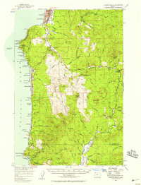 1955 Cannon Beach1958 Print · USGSThe Oregon coast in the mid-1950s reveals a landscape of growing seaside towns and deep timber country. Genealogists and historians can trace family plots at Evergreen Cemetery or locate early landmarks like the Necanicum Guard Sta and Aldervale.2 unique versions available
 - 1958 Map of Vancouver, 1968 Print
 1958 Vancouver1968 Print · USGSThe Lower Columbia and Willamette valleys thrive in the late sixties as major rail and river hubs. Genealogists and historians can trace the development of Portland, identify the grounds of Camp Withycombe, and locate coastal landmarks from Tillamook Head to Garibaldi.3 unique versions available
 - 1964 Map of Vancouver
 1964 Vancouver1964 Print · USGSThe Pacific Northwest interior and coast are shown here in the 1960s, from the Portland metropolitan hub to the rugged Pacific shoreline. Researchers can trace the legacy of the Grand Ronde Indian Reservation, the early layout of McMinnville, and the maritime approaches near Tillamook Head.
 - 1979 Map of Nehalem River, 1980 Print
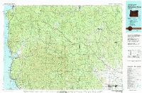 1979 Nehalem River1980 Print · USGSThe northern Oregon coast and its timber-rich interior are captured here in the late seventies, showing the vital connection between sea and forest. Researchers can trace the rail lines of the Southern Pacific and Burlington Northern through historic logging hubs like Vernonia, Timber, and Nehalem.3 unique versions available
 - 2011 Map of Tillamook Head, 2011 Print
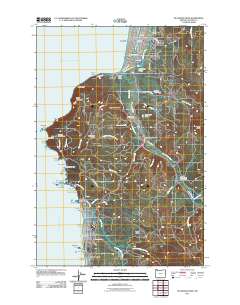 2011 Tillamook Head2011 Print · USGSThe Clatsop County coastline comes into sharp focus during this era of modern development and natural preservation. Researchers can trace property lines and civic landmarks from the Seaside Post Office to Evergreen Cemetery, or explore the wild headlands of Ecola State Park.
 - 2014 Map of Tillamook Head, 2014 Print
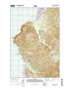 2014 Tillamook Head2014 Print · USGSThe northern Oregon coast at the start of the 2010s shows a landscape defined by resort development and dramatic seafaring geography. Trace the rugged shoreline from Tillamook Head down to the sea stacks of Haystack Rock and the landmark Evergreen Cem.
 - 2017 Map of Tillamook Head, 2017 Print
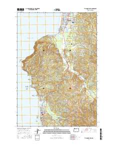 2017 Tillamook Head2017 Print · USGSCoastal Clatsop County is mapped here in the late twenty-tens, showing the established communities of Seaside and Cannon Beach along the Pacific. Researchers can trace land features from the Necanicum River to historical sites like Evergreen Cem and the Skibbereen Bridge.
 - 2020 Map of Tillamook Head, 2020 Print
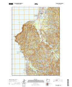 2020 Tillamook Head2020 Print · USGSThe Oregon coast at Seaside and Cannon Beach is shown here in the contemporary era, from the bustling promenade to the heights of Tillamook Head. Researchers can locate Evergreen Cem, the Skibbereen Bridge, and iconic landmarks like Haystack Rock.
 - 2024 Map of Tillamook Head, 2024 Print
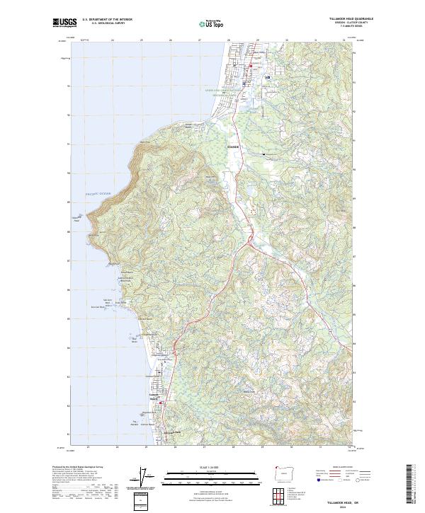 2024 Tillamook Head2024 Print · USGSThe Oregon coast at the onset of the 2020s shows a sophisticated mix of resort communities and protected wilderness. Local historians can trace the paths of Old US Hwy 101 or locate family plots at Evergreen Cem near the banks of Neawanna Creek.
End of results
Showing maps 1-14 of 14
Frequently asked questions
- What are the different types of historical maps available for Breakers Point?
- What is the oldest map of Breakers Point?
- Where can I purchase historical maps of Breakers Point for my home or office?
- Where can I download high-res historical maps of Breakers Point?
- Are there historical topographic maps available for Breakers Point?
- Is there historical aerial imagery available for Breakers Point?
- Where are historical maps of Breakers Point sourced from?