Old Maps of Prineville, Oregon for Metal Detecting
Plan your next treasure hunt with 18 historic maps of Prineville. Find old homesites, ghost towns, trails, and gathering spots that may be lost to time — perfect for identifying promising metal detecting locations.
- Locate forgotten sites: Uncover places like long-lost settlements, abandoned rail lines, or gathering spots.
- Plan better hunts: Use map overlays combined with LiDAR or satellite views to narrow in on historically rich areas.
- Made for detectorists: Thousands of hobbyists use these maps to discover relics, coins, and hidden history.
Use these historic maps to boost your research and find new opportunities beneath the surface of Prineville.
Prineville, OR maps
(18)- 1955 Map of Bend, 1964 Print
 1955 Bend1964 Print · USGSCentral Oregon was undergoing significant growth in the mid-1960s as irrigation and infrastructure transformed the high desert. Researchers can trace the path of the Oregon Trunk Line, locate old stops like Gateway, and find landmarks like Lava Butte or the Grange.3 unique versions available
 - 1957 Map of Bend
 1957 Bend1957 Print · USGSCentral Oregon in the mid-fifties is a landscape of transition between the high Cascades and the arid volcanic plateau. Local historians can trace the rail corridors of the Oregon Trunk and locate early settlements like Ashwood, Odin Falls, and Camp Sherman.
 - 1958 Map of Bend
 1958 Bend1958 Print · USGSCentral Oregon in the late fifties was a land of high desert ranching and growing mountain towns. Researchers can trace the rail lines of the Oregon Trunk Railroad, find established settlements like Madras and Sisters, or locate landmarks such as Smith Rock and Lava Butte.
 - 1962 Map of Huston Lake, 1963 Print
 1962 Huston Lake1963 Print · USGSThe Prineville Valley in the early 1960s reveals a landscape of high-desert agriculture and industrial infrastructure. Researchers can trace the City of Prineville Railway as it parallels the Crooked River or locate family-named sites like Myers Butte.
 - 1962 Map of Prineville, 1963 Print
 1962 Prineville1963 Print · USGSPrineville and the surrounding high desert valleys are shown in detail during the early sixties, highlighting a landscape defined by river irrigation and central Oregon ranching life. Researchers can trace the town's development through landmarks like the Courthouse, Ochoco Sch, and the Pioneer Memorial Hospital.
 - 1962 Map of Prineville, 1964 Print
 1962 Prineville1964 Print · USGSCentral Oregon in the early 1960s shows a landscape of river-valley agriculture and rugged uplands centering on the growing city of Prineville. Genealogists and local historians can trace rural infrastructure from Lamonta to the Upper McKay Sch and the various Cinder Pits dotting the volcanic buttes.2 unique versions available
 - 1981 Map of Prineville
 1981 Prineville1981 Print · USGSPrineville and the Crooked River valley are seen here in the early eighties as the region balanced timber, ranching, and new water management projects. Genealogists and local historians can trace family-named landmarks like Watkins, locate the Cem, or find old mining sites such as the Amity Mine.
 - 1992 Map of Prineville, 1997 Print
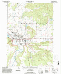 1992 Prineville1997 Print · USGSPrineville and its surrounding irrigation network are captured here in the early 1990s, showcasing the town's role as a regional hub. Researchers can trace the legacy of the high desert community through landmarks like the Crook County High Sch, the Courthouse, and O'Neil.
 - 2011 Map of Houston Lake, 2011 Print
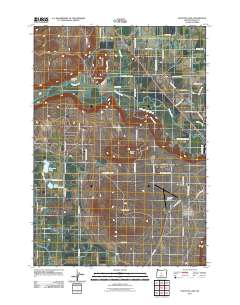 2011 Houston Lake2011 Print · USGSCentral Oregon's ranching landscape is captured here in the early twenty-first century, showcasing the vital water networks of the Prineville Valley. Trace family property lines and regional landmarks from Houston Lake to the slopes of Round Butte and Myers Butte.
 - 2011 Map of Prineville, 2011 Print
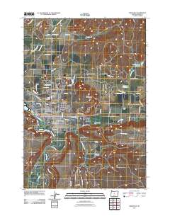 2011 Prineville2011 Print · USGSPrineville at the start of the twenty-first century reflects its deep roots in Oregon high-desert agriculture and irrigation. Genealogists and researchers can trace the landscape from the Crook County Fairgrounds out to Breese Ranch and the Juniper Haven Cemetery.
 - 2014 Map of Houston Lake, 2014 Print
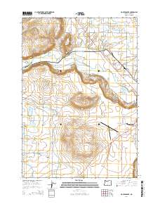 2014 Houston Lake2014 Print · USGSThe high desert outskirts of Prineville come into focus during the early twenty-first century as the city expands into the valley. Genealogists and historians can trace the irrigation networks of the Peoples Irrigation Company Ditch and landmarks like Houston Lake.
 - 2014 Map of Prineville, 2014 Print
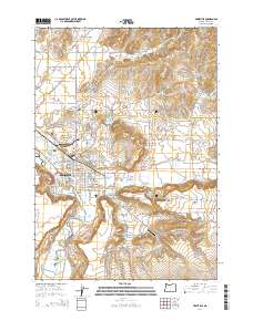 2014 Prineville2014 Print · USGSPrineville and the surrounding high desert valley are documented here during a period of steady growth along the Crooked River. Genealogists and local historians can trace the irrigation network and land divisions near Juniper Haven Cem, Barnes Butte, and the Juniper Canyon area.
 - 2017 Map of Houston Lake, 2017 Print
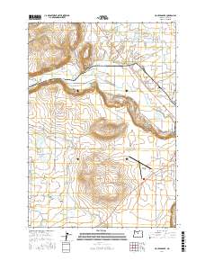 2017 Houston Lake2017 Print · USGSThe Prineville area in the late 2010s shows a high-desert landscape intricately tied to its water sources and aviation history. Researchers can trace the path of the Crooked River and locate vital local landmarks like Houston Lake and the Prineville Airport.
 - 2017 Map of Prineville, 2017 Print
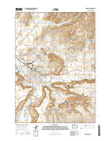 2017 Prineville2017 Print · USGSThe community of Prineville and its surrounding high-desert valley are shown here in the late 2010s. Local researchers can trace the detailed irrigation network of the Ochoco Main Canal or locate local landmarks like Juniper Haven Cemetery and Barnes Butte.
 - 2020 Map of Houston Lake, 2020 Print
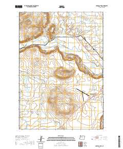 2020 Houston Lake2020 Print · USGSPrineville and its surrounding ranchlands are shown at the start of the 2020s as the high-desert landscape continues its modern evolution. Researchers can trace the complex network of water rights through the Peoples Irrigation Company Ditch and locate local landmarks like Grass Butte or Little Houston Lake.
 - 2020 Map of Prineville, 2020 Print
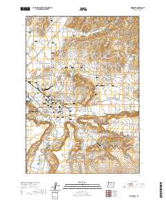 2020 Prineville2020 Print · USGSPrineville and its surrounding valley are documented here in recent detail, showing a landscape defined by its vital irrigation canals and rivers. Researchers can trace local landmarks like Juniper Haven Cemetery, the Tailwheel Airport, and the prominent Barnes Butte.
 - 2023 Map of Prineville, 2023 Print
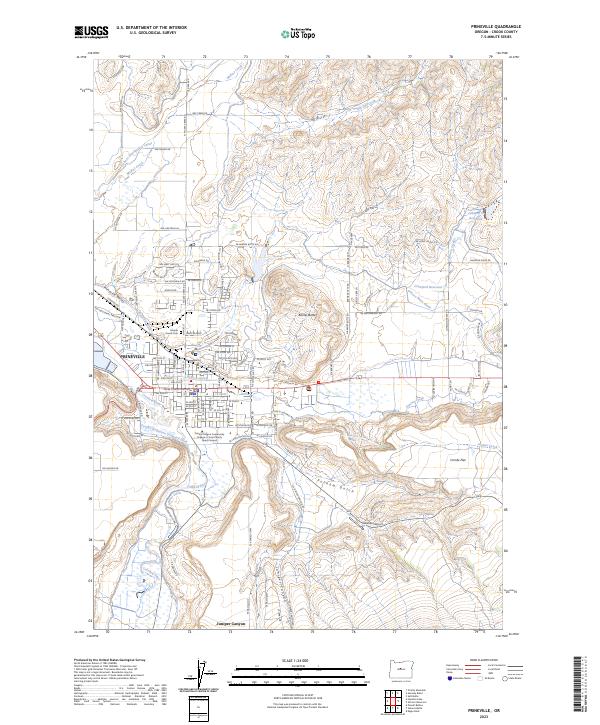 2023 Prineville2023 Print · USGSPrineville and the surrounding high desert valley come into focus in this contemporary survey of Crook County. Researchers can trace the sophisticated irrigation networks like Stearns Ditch and find local landmarks including Juniper Haven Cem and the Crook County Courthouse.
 - 2023 Map of Houston Lake, 2023 Print
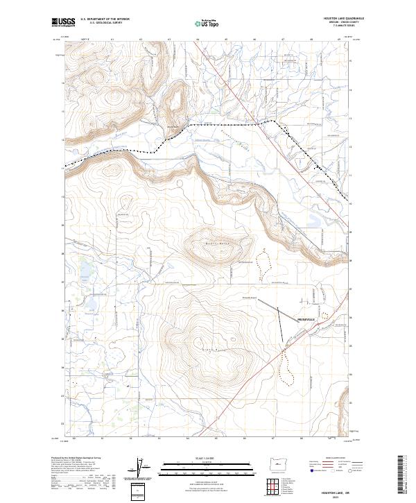 2023 Houston Lake2023 Print · USGSPrineville and the surrounding high-desert valley are seen in this recent survey during a period of continued regional growth. Researchers can trace the sophisticated water networks of the Peoples Irrigation Company Ditch and locate landmarks like Prineville Airport and Myers Butte.
End of results
Showing maps 1-18 of 18
Top neighborhoods of Prineville
Frequently asked questions
- What are the different types of historical maps available for Prineville?
- What is the oldest map of Prineville?
- Where can I purchase historical maps of Prineville for my home or office?
- Where can I download high-res historical maps of Prineville?
- Are there historical topographic maps available for Prineville?
- Is there historical aerial imagery available for Prineville?
- Where are historical maps of Prineville sourced from?