Old Maps of Plum Trees, Oregon for Hiking & Exploration
Hike through history with 14 historic maps of Plum Trees. Explore old trails, ghost towns, and forgotten backroads — perfect for outdoor adventurers and local explorers.
- Rediscover forgotten places: Map out old mining camps, roads, and footpaths that no longer exist on modern maps.
- Layer with modern tools: Combine with LiDAR or satellite views to plan hikes through historical terrain.
- Made for exploration: Popular among hikers, overlanders, and local history lovers.
Use these maps to find adventure and explore the hidden past of Plum Trees.
Plum Trees, OR maps
(14)- 1899 Map of Port Orford
 1899 Port Orford1899 Print · USGSThe Oregon coast at the end of the nineteenth century was a frontier of maritime trade and rugged interior river settlements. Trace early coastal geography from Cape Blanco to Port Orford, and find isolated communities like Agness and Denmark.
 - 1903 Map of Port Orford
 1903 Port Orford1903 Print · USGSCoastal Curry County at the start of the twentieth century was a landscape of remote mountain outposts and rugged river valleys. Genealogists and historians can trace early settlements like Illahe, Agness, and Frankport, or locate landmarks such as Mountain Well and Floras Lake.7 unique versions available
 - 1954 Map of Coos Bay
 1954 Coos Bay1954 Print · USGSCoastal Oregon at mid-century shows a landscape of timber and tides, from the river ports to the edge of the Pacific. Researchers can trace family roots through coastal schools like Beachview School or follow the Southern Pacific RR through Reedsport and Coos Bay.
 - 1954 Map of Langlois, 1956 Print
 1954 Langlois1956 Print · USGSCoastal Curry County in the mid-fifties is a landscape of cranberry agriculture and rugged timberlands. Researchers can trace the early highway settlements of Denmark and Langlois or locate coastal landmarks like Floras Lake and the Cranberry Bogs.3 unique versions available
 - 1958 Map of Coos Bay, 1974 Print
 1958 Coos Bay1974 Print · USGSThe Southern Oregon coastline at mid-century reveals a bustling maritime and timber economy centered on Coos Bay and North Bend. Researchers can trace the legacy of coastal settlements from Bandon to Brookings, including rail lines of the Southern Pacific RR and the rugged reaches of the Siuslaw National Forest.
 - 1962 Map of Coos Bay
 1962 Coos Bay1962 Print · USGSThe Oregon coast at the end of the fifties reveals a landscape of timber ports and fishing villages connected by U.S. Highway 101. Researchers can trace the rail infrastructure of the Southern Pacific RR and locate early settlements from Florence down to Brookings.2 unique versions available
 - 1986 Map of Mount Butler
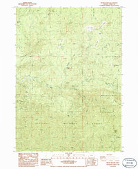 1986 Mount Butler1986 Print · USGSThe coastal mountains of Curry County come into focus in the mid-1980s, showcasing a landscape of national forest land and river drainages. Researchers can locate the Taylor Ranch (Site), track the Sixes River, and identify high-elevation landmarks like the Lookout Tower and China Peak.
 - 1992 Map of Port Orford, 1993 Print
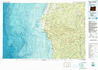 1992 Port Orford1993 Print · USGSThe southern Oregon coast and the coastal ranges of the early nineties are captured here in both topographic and bathymetric detail. Researchers can trace landforms from the reefs of Oregon Islands to inland landmarks like Bingham Mountain and Albert H Powers Memorial State Park.
 - 1996 Map of Mount Butler, 1999 Print
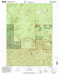 1996 Mount Butler1999 Print · USGSCoastal Curry County is defined by the steep timberlands of the Siskiyou National Forest during the mid-nineties. Researchers can locate family landmarks and historical sites like the Taylor Ranch (Site), the Edson Butte Lookout, and high meadows such as Philip Prairie.
 - 2011 Map of Mount Butler, 2011 Print
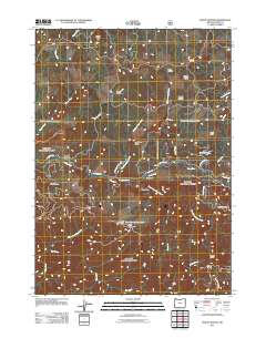 2011 Mount Butler2011 Print · USGSSiskiyou National Forest land in Curry County comes into focus during the early twenty-first century. Researchers can trace the drainage of the Sixes River and locate remote landmarks like the Inman Mine, Plum Trees, and Taylor Ranch.
 - 2014 Map of Mount Butler, 2014 Print
 2014 Mount Butler2014 Print · USGSCoastal Oregon ridges and deep river canyons come into focus in the early twenty-first century. Researchers can trace the drainages of the Upper Sixes River and locate remote landmarks like Plum Trees, China Peak, and Calf Ranch Prairie.
 - 2017 Map of Mount Butler, 2017 Print
 2017 Mount Butler2017 Print · USGSCoastal Oregon's high country in Curry County is mapped here during the late twenty-teens, showing the intersection of logging roads and forest peaks. Researchers can trace remote locales like Plum Trees and Elk Wallows or find family landmarks such as Mt Butler and Moon Mtn.
 - 2020 Map of Mount Butler, 2020 Print
 2020 Mount Butler2020 Print · USGSCoastal Curry County is documented here during the early twenty-first century, showing the remote timberlands and peaks of the northern Siskiyous. Researchers can trace forest access via MOORE MILL RD or locate landmarks like Plum Trees, Elephant Rock, and China Peak.
 - 2024 Map of Mount Butler, 2024 Print
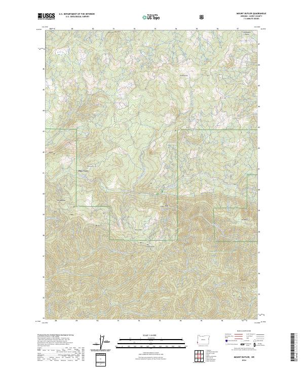 2024 Mount Butler2024 Print · USGSDeep in the Oregon coast range, this 2024 survey captures the untouched landscapes of the Siskiyou National Forest. Researchers can trace the wild river corridors of the Elk Wild and Scenic River and locate remote landmarks like Plum Trees and Hells Gate.
End of results
Showing maps 1-14 of 14
Top cities near Plum Trees
Frequently asked questions
- What are the different types of historical maps available for Plum Trees?
- What is the oldest map of Plum Trees?
- Where can I purchase historical maps of Plum Trees for my home or office?
- Where can I download high-res historical maps of Plum Trees?
- Are there historical topographic maps available for Plum Trees?
- Is there historical aerial imagery available for Plum Trees?
- Where are historical maps of Plum Trees sourced from?