Old Maps of River Rim, Bend
Explore 13 old maps of River Rim, spanning from 1926 to today. These high-resolution historic maps reveal how streets, neighborhoods, landmarks, and natural features evolved over time — perfect for genealogy, metal detecting, research, and local history exploration.
What you can do with these maps:
- See how River Rim changed over time: Compare historical maps to modern-day views to trace roads, homesites, rail lines & more.
- View detailed metadata: Each map includes creators, publishers, year, scale, and archive source.
- Overlay maps with satellite & LiDAR: Visualize the past alongside modern tools to explore terrain & human change.
- Trusted historical sources: Maps sourced from the USGS, Library of Congress, and other archives.
- Access maps your way: View online, download high-res files, or order prints for personal or research use.
Start exploring old maps of River Rim to uncover forgotten places, hidden landmarks, and the deep history beneath your feet.
River Rim, Bend maps
(13)- 1926 Map of Bend, 1963 Print
 1926 Bend1963 Print · USGSCentral Oregon in the mid-1920s was a landscape of emerging irrigation districts and busy timber rails centered around the growing hub of Bend. Researchers can trace early rural life through family-named landmarks like Gales Ranch and numerous country schoolhouses including Young Sch and Pine Ridge Sch.
 - 1929 Map of Bend
 1929 Bend1929 Print · USGSCentral Oregon in the late twenties shows a landscape shaped by irrigation and the expansion of the rail lines. Genealogists can locate family-named sites like Gates Ranch and numerous rural schoolhouses including Arnold Sch and Lava Rock Sch.5 unique versions available
 - 1955 Map of Bend, 1964 Print
 1955 Bend1964 Print · USGSCentral Oregon was undergoing significant growth in the mid-1960s as irrigation and infrastructure transformed the high desert. Researchers can trace the path of the Oregon Trunk Line, locate old stops like Gateway, and find landmarks like Lava Butte or the Grange.3 unique versions available
 - 1957 Map of Bend
 1957 Bend1957 Print · USGSCentral Oregon in the mid-fifties is a landscape of transition between the high Cascades and the arid volcanic plateau. Local historians can trace the rail corridors of the Oregon Trunk and locate early settlements like Ashwood, Odin Falls, and Camp Sherman.
 - 1958 Map of Bend
 1958 Bend1958 Print · USGSCentral Oregon in the late fifties was a land of high desert ranching and growing mountain towns. Researchers can trace the rail lines of the Oregon Trunk Railroad, find established settlements like Madras and Sisters, or locate landmarks such as Smith Rock and Lava Butte.
 - 1962 Map of Bend, 1963 Print
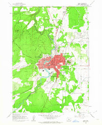 1962 Bend1963 Print · USGSBend and its neighboring volcanic buttes appear in the early sixties as a bustling hub of irrigation, rail, and early high-desert development. Researchers can trace the town's growth through landmarks like Mirror Pond, the Kenwood Sch, and the extensive Central Oregon Canal system.6 unique versions available
 - 1980 Map of Bend, 1993 Print
 1980 Bend1993 Print · USGSCentral Oregon was evolving rapidly in the early eighties as outdoor recreation and transit hubs like Bend and Redmond expanded. Trace the historical footprints of Sisters, the Metolius River basin, and the Oregon Trunk Railway through the high desert.2 unique versions available
 - 2011 Map of Bend, 2011 Print
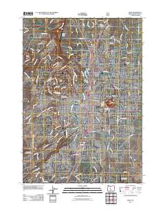 2011 Bend2011 Print · USGSBend is shown at a period of significant expansion across the High Desert in the early two-thousands. Genealogists and local researchers can trace the city's growth around Pilot Butte, locate sites like Greenwood Cemetery, and identify early aviation markers like Pilot Butte Airport.
 - 2014 Map of Bend, 2014 Print
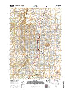 2014 Bend2014 Print · USGSBend and its volcanic surroundings are captured here in the early twenty-first century as the city expanded across its high-desert landscape. Researchers can trace the path of the BNSF railroad and locate local landmarks like Pilot Butte and Central Oregon Community Coll.
 - 2017 Map of Bend, 2017 Print
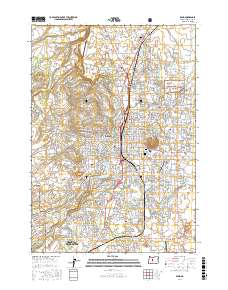 2017 Bend2017 Print · USGSThe city of Bend and its iconic volcanic buttes are captured here during a period of significant modern growth. Researchers can trace the Deschutes riverfront from Mirror Pond to Tetherow, while locating local burial grounds like Greenwood Cem and Pilot Butte Cem.
 - 2020 Map of Bend, 2020 Print
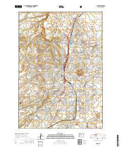 2020 Bend2020 Print · USGSCovers River Rim, including Bend, Deschutes County, and other nearby areas
 - 2023 Map of Bend, 2023 Print
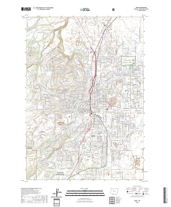 2023 Bend2023 Print · USGSBend and its neighboring high-desert communities are captured in this recent survey, showcasing the modern urban expansion and sophisticated water management of the region. Researchers can trace the BNSF rail corridor, the grounds of Central Oregon Community College, and historic burial sites like Greenwood Cem.
 - 2024 Map of Bend, 2024 Print
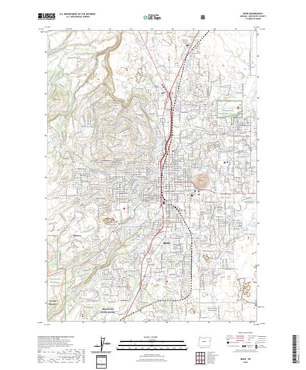 2024 Bend2024 Print · USGSBend and the surrounding Deschutes County high desert are shown here in the mid-2020s as the urban footprint expands around its famous volcanic landmarks. Genealogists and locals can locate family sites near Greenwood Cem or trace the essential water routes of the Swalley Canal and Bend Feed Canal.
End of results
Showing maps 1-13 of 13
Frequently asked questions
- What are the different types of historical maps available for River Rim?
- What is the oldest map of River Rim?
- Where can I purchase historical maps of River Rim for my home or office?
- Where can I download high-res historical maps of River Rim?
- Are there historical topographic maps available for River Rim?
- Is there historical aerial imagery available for River Rim?
- Where are historical maps of River Rim sourced from?