Old Maps of Austin, Oregon for Metal Detecting
Plan your next treasure hunt with 11 historic maps of Austin. Find old homesites, ghost towns, trails, and gathering spots that may be lost to time — perfect for identifying promising metal detecting locations.
- Locate forgotten sites: Uncover places like long-lost settlements, abandoned rail lines, or gathering spots.
- Plan better hunts: Use map overlays combined with LiDAR or satellite views to narrow in on historically rich areas.
- Made for detectorists: Thousands of hobbyists use these maps to discover relics, coins, and hidden history.
Use these historic maps to boost your research and find new opportunities beneath the surface of Austin.
Austin, OR maps
(11)- 1901 Map of Sumpter
 1901 Sumpter1901 Print · USGSThe Oregon gold boom is at its peak in this turn-of-the-century survey of the high Elkhorn Range. Miners and genealogists can trace the early rail corridor of the Sumpter Valley River and locate historic camps like Bourne, Belleview, and French Diggings.4 unique versions available
 - 1955 Map of Canyon City, 1966 Print
 1955 Canyon City1966 Print · USGSCentral Oregon's high desert and timber country are captured here in the mid-fifties, showing the rugged ranching and logging landscape. Trace the path of the Sumpter Valley Ry or locate remote settlements like Izee, Whitney, and Ritter.4 unique versions available
 - 1959 Map of Canyon City
 1959 Canyon City1959 Print · USGSEastern Oregon in the late fifties was a landscape of high timber and remote river valleys shaped by the cattle and mining trades. Genealogists and historians can trace the paths of the Sumpter Valley RR and find early settlements like Antone, Richmond, and Dayville.2 unique versions available
 - 1972 Map of Austin
 1972 Austin1972 Print · USGSIn the early 1970s, the high country of Grant County was a landscape of remote work centers and high-altitude meadows. Trace the cattle and timber history of the Malheur National Forest through sites like Sullens Cow Camp, Austin Junction, and the Blue Mtn Work Center.2 unique versions available
 - 1987 Map of Bates
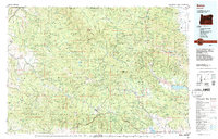 1987 Bates1987 Print · USGSEastern Oregon's rugged mining and timber heartland is detailed here in the late 1980s. Local historians and genealogists can trace the Sumpter Valley Railroad and find historic mining sites like the Standard Mine and settlements at Greenhorn or Galena.
 - 1998 Map of Austin, 2000 Print
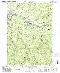 1998 Austin2000 Print · USGSThe Malheur National Forest highlands come into focus in the late nineties, centered on the historic mountain settlement of Austin. Genealogists and historians can trace family-named sites like Bjorkson Flat and Sullens Cow Camp near the Middle Fork John Day River.
 - 2011 Map of Austin, 2011 Print
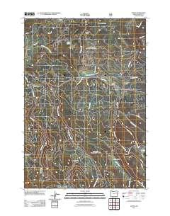 2011 Austin2011 Print · USGSIn the high country of Grant County during the early 21st century, the headwaters of the Middle Fork John Day River define a landscape of remote timber and seasonal camps. Researchers can trace land-use patterns through sites like Austin, Sullens Cow Camp, and the open reaches of Phipps Meadow.
 - 2014 Map of Austin, 2014 Print
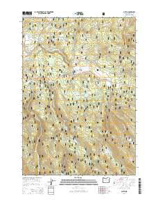 2014 Austin2014 Print · USGSGrant County’s high timberlands and headwaters are captured here in the early twenty-first century. Researchers can trace the drainage of the Middle Fork John Day River through distinctive landmarks like Phipps Meadow, Austin, and Japanese Meadow.
 - 2017 Map of Austin, 2017 Print
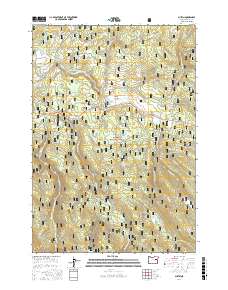 2017 Austin2017 Print · USGSThe high timber country of Grant County is captured here in the early twenty-first century, centered on the Malheur National Forest. Researchers can trace the drainage of the Middle Fork John Day River and locate remote landmarks like Japanese Meadow and Bjerkson Flat.
 - 2020 Map of Austin, 2020 Print
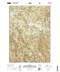 2020 Austin2020 Print · USGSGrant County's high timberlands and meadows are captured here in the early 2020s, centered on the historic mountain settlement of Austin. Researchers can trace the winding Middle Fork John Day River and locate family-named landmarks like Taylor Flat and Olmstead Meadow.
 - 2023 Map of Austin, 2023 Print
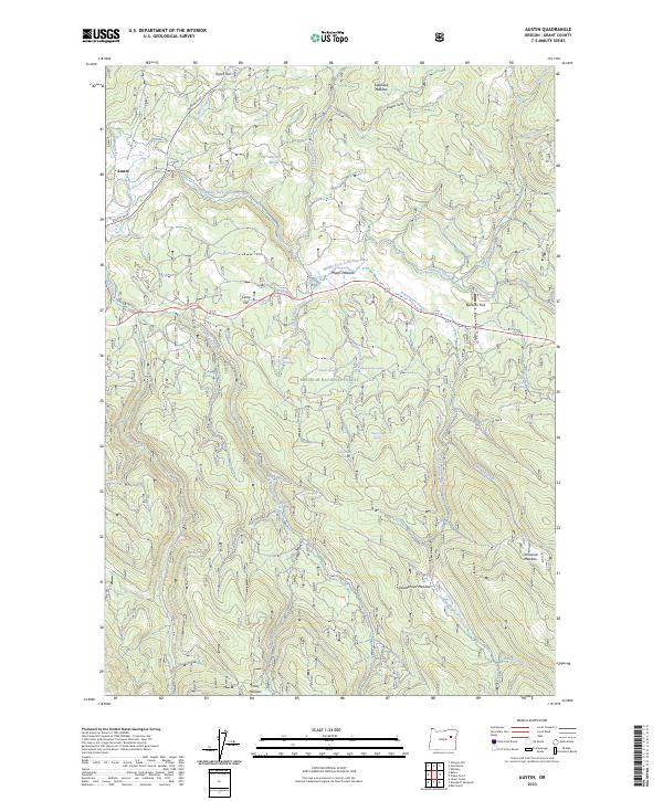 2023 Austin2023 Print · USGSThe settlement of Austin serves as the gateway to the high timberlands of the Malheur National Forest in this modern topographical survey. Genealogists and researchers can trace family-named geography like Bjerkson Flat, Olmstead Meadow, and the historic route of the Austin Spur.
End of results
Showing maps 1-11 of 11
Top cities near Austin
Frequently asked questions
- What are the different types of historical maps available for Austin?
- What is the oldest map of Austin?
- Where can I purchase historical maps of Austin for my home or office?
- Where can I download high-res historical maps of Austin?
- Are there historical topographic maps available for Austin?
- Is there historical aerial imagery available for Austin?
- Where are historical maps of Austin sourced from?