Old Maps of Kimberly, Oregon for Metal Detecting
Plan your next treasure hunt with 11 historic maps of Kimberly. Find old homesites, ghost towns, trails, and gathering spots that may be lost to time — perfect for identifying promising metal detecting locations.
- Locate forgotten sites: Uncover places like long-lost settlements, abandoned rail lines, or gathering spots.
- Plan better hunts: Use map overlays combined with LiDAR or satellite views to narrow in on historically rich areas.
- Made for detectorists: Thousands of hobbyists use these maps to discover relics, coins, and hidden history.
Use these historic maps to boost your research and find new opportunities beneath the surface of Kimberly.
Kimberly, OR maps
(11)- 1953 Map of Kimberly, 1955 Print
 1953 Kimberly1955 Print · USGSThe high desert of Grant and Wheeler counties comes into focus in the early 1950s, centered on the John Day River and its rugged basins. Researchers can locate remote landmarks like the Haystack Cem, the Bull Prairie Guard Sta, and the settlement of Kimberly.2 unique versions available
 - 1955 Map of Canyon City, 1966 Print
 1955 Canyon City1966 Print · USGSCentral Oregon's high desert and timber country are captured here in the mid-fifties, showing the rugged ranching and logging landscape. Trace the path of the Sumpter Valley Ry or locate remote settlements like Izee, Whitney, and Ritter.4 unique versions available
 - 1959 Map of Canyon City
 1959 Canyon City1959 Print · USGSEastern Oregon in the late fifties was a landscape of high timber and remote river valleys shaped by the cattle and mining trades. Genealogists and historians can trace the paths of the Sumpter Valley RR and find early settlements like Antone, Richmond, and Dayville.2 unique versions available
 - 1980 Map of Monument, 1997 Print
 1980 Monument1997 Print · USGSCentral Oregon’s river-cut high country comes into focus in the early 1980s, documenting a landscape of remote ranching and timber work. Genealogists and researchers can trace local landmarks like Ritter, the Cohoe Mine, and the high reaches of Sourdough Ridge.
 - 1990 Map of Kimberly
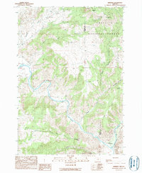 1990 Kimberly1990 Print · USGSThe river confluence at Kimberly and the surrounding canyonlands are captured here in the late twentieth century. Researchers can trace the winding course of the John Day River, locate the 32 Ranch, and explore the high elevations of the Umatilla National Forest.
 - 1995 Map of Kimberly, 1998 Print
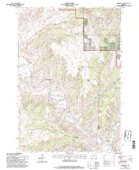 1995 Kimberly1998 Print · USGSThe confluence of the John Day and North Fork rivers takes center stage in this mid-nineties survey of the Wheeler and Grant county line. Trace the remote settlement at Kimberly and the high-elevation boundary of the Umatilla National Forest near China Hat Peak.
 - 2011 Map of Kimberly, 2011 Print
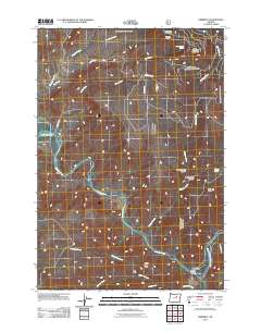 2011 Kimberly2011 Print · USGSKimberly sits at the junction of the two forks of the John Day River in Grant County during the early twenty-first century. Local history researchers can trace the drainage of Bologna Creek or locate landmarks such as the Kimberly Post Office and Tamarack Lookout.
 - 2014 Map of Kimberly, 2014 Print
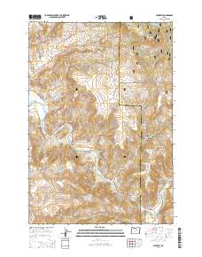 2014 Kimberly2014 Print · USGSThe confluence of the North Fork and main John Day River in the mid-2010s reveals a landscape defined by river-valley transit and the foothills of the Blue Mountains. Researchers can trace the layout of Kimberly and find remote landmarks like China Hat Peak and White Horse Spring.
 - 2017 Map of Kimberly, 2017 Print
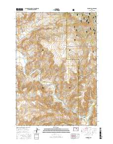 2017 Kimberly2017 Print · USGSThe confluence of the North Fork and the main stem of the John Day River defines this Grant County landscape in 2017. Researchers can trace rural roads and remote hydrology from the peaks of China Hat Peak to local landmarks like White House Spring and the small settlement of Kimberly.
 - 2020 Map of Kimberly, 2020 Print
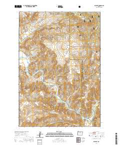 2020 Kimberly2020 Print · USGSThe confluence of the North Fork John Day River and the main stem at Kimberly defines this high-desert landscape in the early twenty-first century. Researchers can trace the rugged drainage patterns of West Bologna Canyon and locate landmarks like China Hat Peak.
 - 2023 Map of Kimberly, 2023 Print
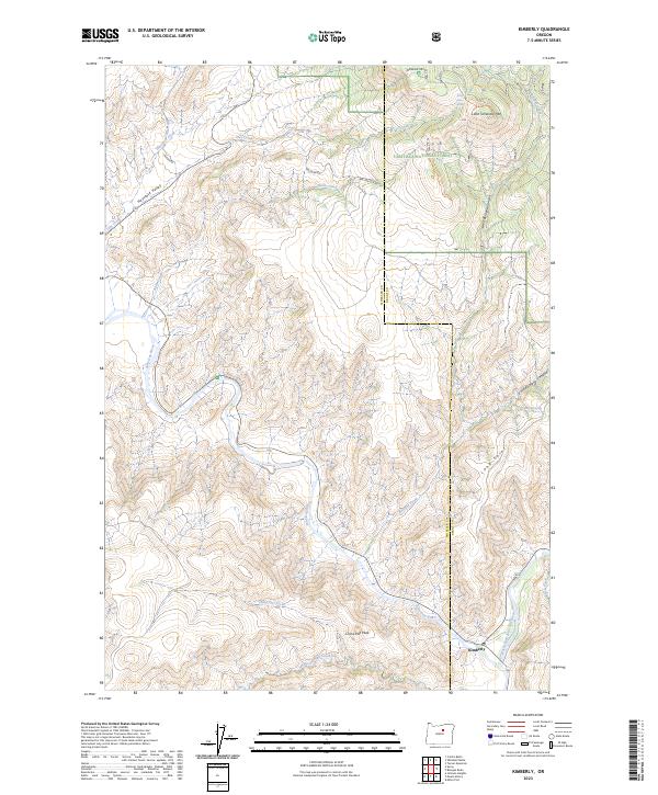 2023 Kimberly2023 Print · USGSThe confluence of the John Day River and North Fork John Day River defines this Wheeler County landscape in the early 2020s. Researchers can trace rural water sources and high-desert peaks, from Whites House Spring and Mitchell Spring to the prominent China Hat Peak.
End of results
Showing maps 1-11 of 11
Top cities near Kimberly
Frequently asked questions
- What are the different types of historical maps available for Kimberly?
- What is the oldest map of Kimberly?
- Where can I purchase historical maps of Kimberly for my home or office?
- Where can I download high-res historical maps of Kimberly?
- Are there historical topographic maps available for Kimberly?
- Is there historical aerial imagery available for Kimberly?
- Where are historical maps of Kimberly sourced from?