Old Maps of Wagontire, Oregon for Hiking & Exploration
Hike through history with 6 historic maps of Wagontire. Explore old trails, ghost towns, and forgotten backroads — perfect for outdoor adventurers and local explorers.
- Rediscover forgotten places: Map out old mining camps, roads, and footpaths that no longer exist on modern maps.
- Layer with modern tools: Combine with LiDAR or satellite views to plan hikes through historical terrain.
- Made for exploration: Popular among hikers, overlanders, and local history lovers.
Use these maps to find adventure and explore the hidden past of Wagontire.
Wagontire, OR maps
(6)- 1955 Map of Burns, 1964 Print
 1955 Burns1964 Print · USGSHarney County's high desert ranching and timber heartland is captured here in the mid-fifties, centered on the hub of Burns and Hines. Genealogists and researchers can locate remote landmarks like the Suntex School, New Princeton P. O., and the Lumber Mill.3 unique versions available
 - 1958 Map of Burns
 1958 Burns1958 Print · USGSHarney County ranching and timber lands are captured here in the late fifties. Genealogists and local historians can trace family holdings and rural institutions, from the Kimball Flat School to remote outposts like Crow Camp Ranch and the Sutton Ranch.
 - 1959 Map of Burns
 1959 Burns1959 Print · USGSHarney County in the late fifties remains a landscape of high-desert ranching and timber production, centered on the hubs of Burns and Hines. Researchers can locate remote rural institutions like the Suntex School or trace family landholdings such as the Stallard Ranch and O'Keefe Homestead.
 - 1980 Map of Wagontire Mtn West
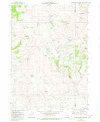 1980 Wagontire Mtn West1980 Print · USGSHigh desert ranching and observation stations define this 1980 survey of the Oregon interior at the border of Lake and Harney counties. Researchers can trace land use through remote water features like Peila Reservoir, Snookum Spring, and the high Lookout Tower on Wagontire Mtn.
 - 1994 Map of Harney Lake
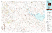 1994 Harney Lake1994 Print · USGSHigh-desert ranching and wildlife conservation define this Oregon landscape in the mid-1990s. Researchers can trace the water levels of Harney Lake and locate isolated homesteads like Frank Schmidt Ranch or the small settlement at Wagontire.
 - 2023 Map of Wagontire Mountain West, 2023 Print
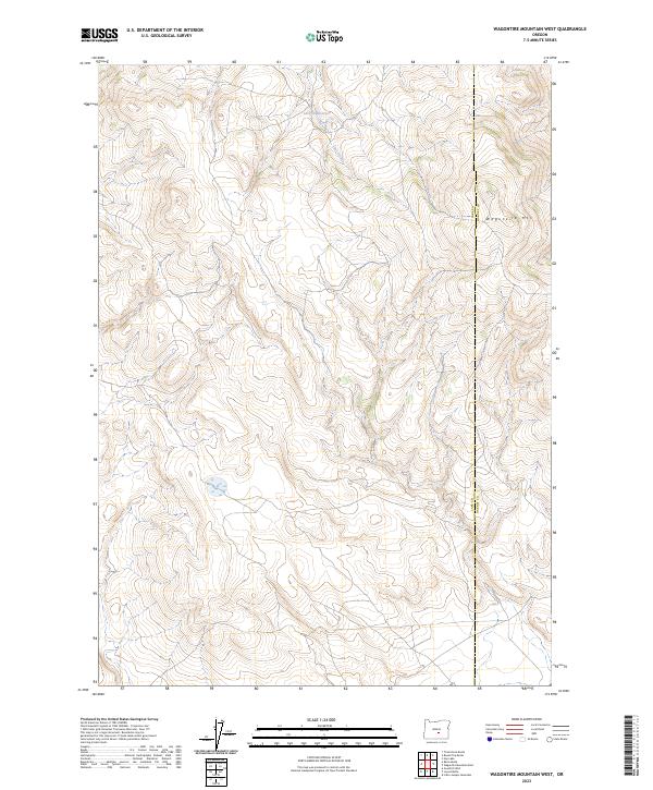 2023 Wagontire Mountain West2023 Print · USGSThe high-desert terrain of Lake and Harney counties comes into focus in this contemporary survey. Researchers can trace the drainage of Lost Creek and the western slopes of Wagontire Mtn across the county line.
End of results
Showing maps 1-6 of 6
Frequently asked questions
- What are the different types of historical maps available for Wagontire?
- What is the oldest map of Wagontire?
- Where can I purchase historical maps of Wagontire for my home or office?
- Where can I download high-res historical maps of Wagontire?
- Are there historical topographic maps available for Wagontire?
- Is there historical aerial imagery available for Wagontire?
- Where are historical maps of Wagontire sourced from?