Old Maps of Murphy, Oregon for Metal Detecting
Plan your next treasure hunt with 13 historic maps of Murphy. Find old homesites, ghost towns, trails, and gathering spots that may be lost to time — perfect for identifying promising metal detecting locations.
- Locate forgotten sites: Uncover places like long-lost settlements, abandoned rail lines, or gathering spots.
- Plan better hunts: Use map overlays combined with LiDAR or satellite views to narrow in on historically rich areas.
- Made for detectorists: Thousands of hobbyists use these maps to discover relics, coins, and hidden history.
Use these historic maps to boost your research and find new opportunities beneath the surface of Murphy.
Murphy, OR maps
(13)- 1908 Map of Grants Pass
 1908 Grants Pass1908 Print · USGSThe Rogue River valley and Siskiyou Mountains are shown here during a peak era of mineral extraction and rail expansion. Researchers can trace historic claims like the Granite Hill Mine or find early settlements such as Woodville and Wilderville before modern development altered the landscape.5 unique versions available
 - 1954 Map of Grants Pass, 1956 Print
 1954 Grants Pass1956 Print · USGSGrants Pass and the surrounding river valleys are captured here in the mid-fifties, showing a landscape defined by the Rogue River and timbered mountain ranges. Local historians can trace family-named schools and early mining operations, from Jerome Prairie Sch to the Humdinger Mine and Sloan Cem.4 unique versions available
 - 1955 Map of Medford, 1964 Print
 1955 Medford1964 Print · USGSSouthern Oregon's valley towns and high peaks are captured here in the mid-1950s, showing the region before the completion of the modern interstate system. Genealogists and historians can trace the development of timber and mining outposts from Wolf Creek to Butte Falls and the early roads to Crater Lake.3 unique versions available
 - 1957 Map of Medford
 1957 Medford1957 Print · USGSSouthern Oregon during the mid-fifties is captured here as a region of growing valley cities and vast timberlands. Genealogists and historians can trace the rail-and-road corridors connecting Medford, Jacksonville, and Grants Pass to more remote locales like Wolf Creek or Butte Falls.
 - 1958 Map of Medford
 1958 Medford1958 Print · USGSSouthern Oregon's Rogue River valley thrived in the 1950s as a crossroads of rail and road. Researchers can trace the legacy of timber and tourism through Southern Pacific RR lines and landmarks like Crater Lake and Oregon Caves National Monument.
 - 1986 Map of Murphy
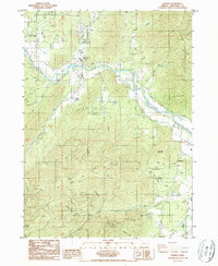 1986 Murphy1986 Print · USGSSouthern Oregon's river valleys and mining ridges are detailed here in the mid-1980s, centered on the Applegate River corridor. Genealogists and historians can trace local families near Murphy or locate historic extraction sites like the Oregon Bonanza Mine and Humdinger Mine.
 - 1989 Map of Grants Pass, 1990 Print
 1989 Grants Pass1990 Print · USGSSouthern Oregon's river valleys and mountain ranges are captured here in the late eighties, just as the region’s recreation and transit networks were maturing. Local historians can trace old settlements like Waldo and Holland or follow the Southern Pacific line through Grants Pass.
 - 1996 Map of Murphy, 1999 Print
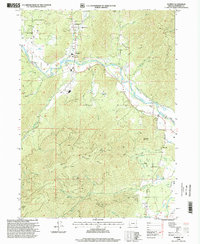 1996 Murphy1999 Print · USGSJosephine County in the late nineties shows a landscape of river-valley agriculture and high-country mining activity. Researchers can trace historic claims like the Humdinger Mine and Oregon Bonanza Mine or locate the rural centers of Murphy and New Hope.
 - 2011 Map of Murphy, 2011 Print
 2011 Murphy2011 Print · USGSSouthern Oregon's Applegate Valley comes into focus here at the start of the decade, showing the rural communities and water networks of Josephine County. Researchers can trace local landmarks like the Murphy Post Office and follow the intricate paths of the Murphy Ditch and Watts and Topping Ditch.
 - 2014 Map of Murphy, 2014 Print
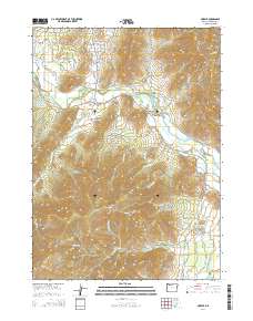 2014 Murphy2014 Print · USGSThe Applegate River valley near Murphy and New Hope is shown in detail during the early 2010s. Local researchers can trace water rights and land use through Murphy Ditch, Spalding Reservoir, and named landmarks like Pennington Butte.
 - 2017 Map of Murphy, 2017 Print
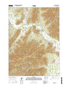 2017 Murphy2017 Print · USGSThe Applegate River valley in Southern Oregon comes into focus during this period of the twenty-first century. Researchers can trace land use through features like Murphy Ditch, the Murphy Bridge, and legacy sites such as Schoolhouse Gulch and Red Rose Mine Rd.
 - 2020 Map of Murphy, 2020 Print
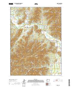 2020 Murphy2020 Print · USGSThe Applegate River valley near Murphy is shown here in the contemporary era as a complex network of rural homesteads and irrigation systems. Genealogists and local historians can trace family-named features like Willson Reservoir, Schoolhouse Gulch, and the road to the Humdinger Mine Rd.
 - 2023 Map of Murphy, 2023 Print
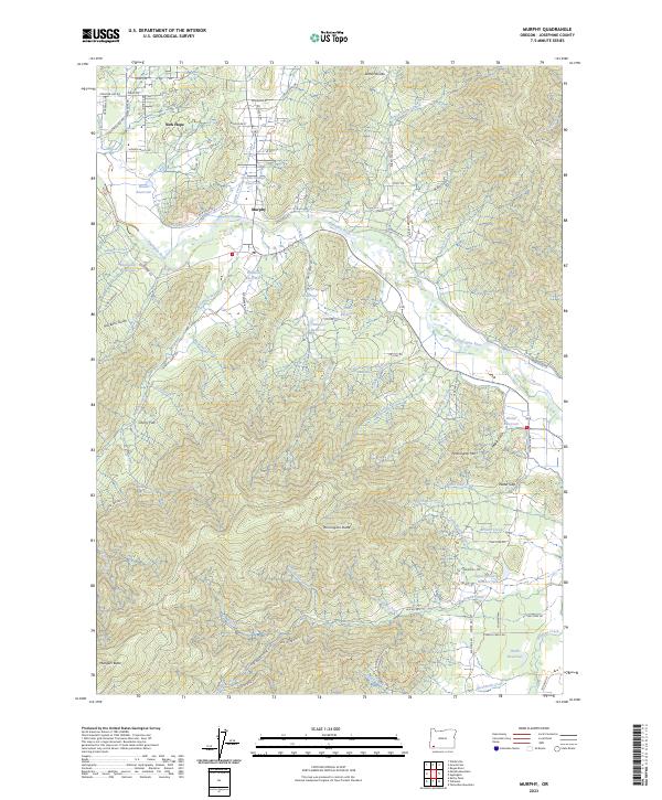 2023 Murphy2023 Print · USGSJosephine County’s rural valleys and rugged ridges come into focus in this contemporary study of the Applegate River region. Trace family roots and land use near Murphy, New Hope, and the irrigation works of Murphy Ditch or the heights of Pennington Mtn.
End of results
Showing maps 1-13 of 13
Top cities near Murphy
Frequently asked questions
- What are the different types of historical maps available for Murphy?
- What is the oldest map of Murphy?
- Where can I purchase historical maps of Murphy for my home or office?
- Where can I download high-res historical maps of Murphy?
- Are there historical topographic maps available for Murphy?
- Is there historical aerial imagery available for Murphy?
- Where are historical maps of Murphy sourced from?