Old Maps of Sunny Valley, Oregon for Academic Research
Study the evolution of Sunny Valley with 13 high-resolution historic maps. Whether you're teaching, researching, or modeling changes in land use, these maps provide essential visual documentation of urban, environmental, and geographic change.
- Analyze long-term change: Track patterns in development, transportation, and natural features.
- Ideal for environmental or urban studies: Support academic projects with primary historical map data.
- Use in the classroom or lab: Educators and researchers rely on these maps to bring historical context to life.
These maps are a powerful tool for teaching, research, and visualizing how Sunny Valley has changed over the decades.
Sunny Valley, OR maps
(13)- 1904 Map of Riddle
 1904 Riddle1904 Print · USGSSouthern Oregon's mining and railroad corridor is captured here at the start of the twentieth century. Genealogists can trace family footprints through early settlements like Riddles and Galesville or locate specific claims like the Placer Star Mine.5 unique versions available
 - 1954 Map of Glendale, 1956 Print
 1954 Glendale1956 Print · USGSThe timber and mining country of Douglas and Josephine Counties is captured here in the mid-fifties, centered on the Southern Pacific line. You can trace the lineage of local claims at the Greenback Mine and Steam Beer Placer or find the sites of the Merlin Sanitarium and Aman Ranch.3 unique versions available
 - 1955 Map of Medford, 1964 Print
 1955 Medford1964 Print · USGSSouthern Oregon's valley towns and high peaks are captured here in the mid-1950s, showing the region before the completion of the modern interstate system. Genealogists and historians can trace the development of timber and mining outposts from Wolf Creek to Butte Falls and the early roads to Crater Lake.3 unique versions available
 - 1957 Map of Medford
 1957 Medford1957 Print · USGSSouthern Oregon during the mid-fifties is captured here as a region of growing valley cities and vast timberlands. Genealogists and historians can trace the rail-and-road corridors connecting Medford, Jacksonville, and Grants Pass to more remote locales like Wolf Creek or Butte Falls.
 - 1958 Map of Medford
 1958 Medford1958 Print · USGSSouthern Oregon's Rogue River valley thrived in the 1950s as a crossroads of rail and road. Researchers can trace the legacy of timber and tourism through Southern Pacific RR lines and landmarks like Crater Lake and Oregon Caves National Monument.
 - 1986 Map of Glendale
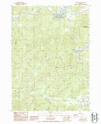 1986 Glendale1986 Print · USGSSouthern Oregon's rugged gold-mining and timber country is well-documented in the mid-1980s. Local history researchers can trace old placer operations like Steam Beer Placer, find the Covered Bridge at Sunny Valley, and locate the Cem near Leland.
 - 1989 Map of Canyonville
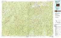 1989 Canyonville1989 Print · USGSSouthern Oregon's timber and rail corridors come into focus during the late eighties as communities like Canyonville and Riddle anchor the local economy. Researchers can trace the path of the Southern Pacific Railroad and locate early settlements such as Placer, Leland, and Sunny Valley.2 unique versions available
 - 1996 Map of Glendale, 1999 Print
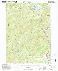 1996 Glendale1999 Print · USGSThe rugged canyonlands of southern Oregon are captured here in the late twentieth century, showing the mining and timber landscapes of Glendale and Wolf Creek. Researchers can locate historic gold claims like Steam Beer Placer and Glory Hole Placer, or trace local landmarks such as the Covered Bridge.
 - 2011 Map of Glendale, 2011 Print
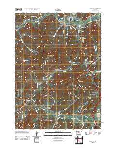 2011 Glendale2011 Print · USGSDouglas County mountain communities and timber lands are detailed here during the early 2000s. Researchers can locate family sites and local landmarks like the Glendale Masonic Cemetery, the rail line at Tunnel 8, and the Sunny Valley Post Office.
 - 2014 Map of Glendale, 2014 Print
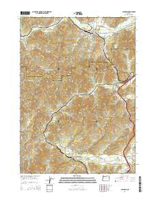 2014 Glendale2014 Print · USGSThe timber country of southern Oregon and the Josephine County line are captured here in the early twenty-first century. Researchers can trace historic industrial sites like the Dollar Log Ponds or locate family sites at the Glendale Masonic Cem and Wolf Creek Cem.
 - 2017 Map of Glendale, 2017 Print
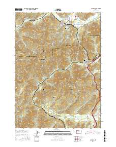 2017 Glendale2017 Print · USGSThe timber and rail corridors of southern Oregon are captured here in the late twenty-teens, centering on the mountain-bound town of Glendale. Researchers can trace old cemetery sites and infrastructure, from the Glendale Masonic Cem to railroad landmarks like Tunnel 8 and the Wolf Creek Pools.
 - 2020 Map of Glendale, 2020 Print
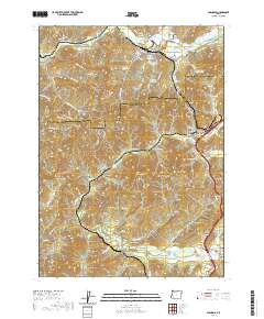 2020 Glendale2020 Print · USGSGlendale and Wolf Creek occupy a narrow mountain corridor on the Douglas and Josephine county line during the early twenty-first century. Researchers can locate local landmarks like Glendale Masonic Cem, Tunnel 8, and the industrial Dollar Log Ponds.
 - 2024 Map of Glendale, 2024 Print
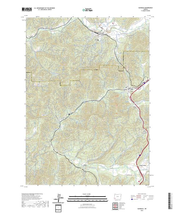 2024 Glendale2024 Print · USGSThe timber and transit corridors of Douglas and Josephine Counties are documented here in the 2020s. Local researchers can trace family sites at the Glendale Masonic Cem or explore the industrial footprints of the Dollar Log Ponds and Leland.
End of results
Showing maps 1-13 of 13
Top cities near Sunny Valley
Frequently asked questions
- What are the different types of historical maps available for Sunny Valley?
- What is the oldest map of Sunny Valley?
- Where can I purchase historical maps of Sunny Valley for my home or office?
- Where can I download high-res historical maps of Sunny Valley?
- Are there historical topographic maps available for Sunny Valley?
- Is there historical aerial imagery available for Sunny Valley?
- Where are historical maps of Sunny Valley sourced from?