Old Maps of Wilderville, Oregon for Genealogy
Trace your family roots with 14 historic maps of Wilderville. These high-res maps reveal old neighborhoods, homesites, landmarks, and streets — helping you uncover where your ancestors lived and how the area evolved over time.
- Explore historic neighborhoods: Identify where your relatives may have lived in the 1800s or 1900s.
- Compare maps over time: Trace the changes in streets, buildings, and landmarks for multi-generational research.
- Perfect for genealogy & ancestry research: Used by family historians and researchers to map out lineage and migration.
These maps are an incredible resource for exploring your personal connection to Wilderville's past.
Wilderville, OR maps
(14)- 1908 Map of Grants Pass
 1908 Grants Pass1908 Print · USGSThe Rogue River valley and Siskiyou Mountains are shown here during a peak era of mineral extraction and rail expansion. Researchers can trace historic claims like the Granite Hill Mine or find early settlements such as Woodville and Wilderville before modern development altered the landscape.5 unique versions available
 - 1954 Map of Grants Pass, 1956 Print
 1954 Grants Pass1956 Print · USGSGrants Pass and the surrounding river valleys are captured here in the mid-fifties, showing a landscape defined by the Rogue River and timbered mountain ranges. Local historians can trace family-named schools and early mining operations, from Jerome Prairie Sch to the Humdinger Mine and Sloan Cem.4 unique versions available
 - 1955 Map of Medford, 1964 Print
 1955 Medford1964 Print · USGSSouthern Oregon's valley towns and high peaks are captured here in the mid-1950s, showing the region before the completion of the modern interstate system. Genealogists and historians can trace the development of timber and mining outposts from Wolf Creek to Butte Falls and the early roads to Crater Lake.3 unique versions available
 - 1957 Map of Medford
 1957 Medford1957 Print · USGSSouthern Oregon during the mid-fifties is captured here as a region of growing valley cities and vast timberlands. Genealogists and historians can trace the rail-and-road corridors connecting Medford, Jacksonville, and Grants Pass to more remote locales like Wolf Creek or Butte Falls.
 - 1958 Map of Medford
 1958 Medford1958 Print · USGSSouthern Oregon's Rogue River valley thrived in the 1950s as a crossroads of rail and road. Researchers can trace the legacy of timber and tourism through Southern Pacific RR lines and landmarks like Crater Lake and Oregon Caves National Monument.
 - 1974 Map of Grants Pass NW, 1977 Print
 1974 Grants Pass NW1977 Print · USGSThe confluence of the Rogue and Applegate rivers is captured here during the mid-1970s, showing the intersection of Oregon timberland and valley agriculture. Researchers can trace the exact 1974 layout of Wilderville and the winding banks of the Rogue River.
 - 1986 Map of Wilderville
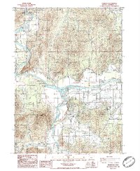 1986 Wilderville1986 Print · USGSIn the mid-1980s, the rural valleys of Josephine County centered on the active waters of the Rogue. Researchers can trace the path of the Old Railroad Grade and locate local landmarks such as the Cemetery near Wilderville or the confluence at Applegate River.
 - 1989 Map of Grants Pass, 1990 Print
 1989 Grants Pass1990 Print · USGSSouthern Oregon's river valleys and mountain ranges are captured here in the late eighties, just as the region’s recreation and transit networks were maturing. Local historians can trace old settlements like Waldo and Holland or follow the Southern Pacific line through Grants Pass.
 - 1996 Map of Wilderville, 1999 Print
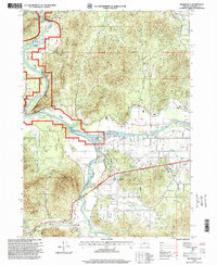 1996 Wilderville1999 Print · USGSThe Josephine County riverfront in the mid-nineties shows a landscape of established communities and active waterways. Researchers can locate the Wilderville settlement and Cemetery, or trace water features like the Main Canal and the Applegate River.
 - 2011 Map of Wilderville, 2011 Print
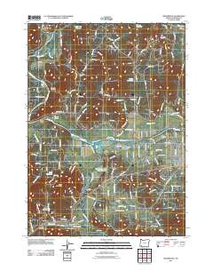 2011 Wilderville2011 Print · USGSThe confluence of the Rogue and Applegate Rivers is documented here in the early twenty-first century. Family historians can locate several burial sites including Wilderville Cemetery and Ferrydale Cemetery, or trace the rural reach of the Wilderville Post Office.
 - 2014 Map of Wilderville, 2014 Print
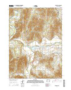 2014 Wilderville2014 Print · USGSThe Rogue River valley west of Grants Pass is captured here in the early twenty-first century as suburban growth meets rural ranchland. Local historians can trace family roots at Wilderville Cem or Ferrydale Cem and locate landmarks like Robertson Bridge and Knights Gulch.
 - 2017 Map of Wilderville, 2017 Print
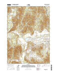 2017 Wilderville2017 Print · USGSThe Josephine County countryside comes alive in this modern survey of the Rogue and Applegate river valleys. Trace local roots at Wilderville Cem and Ferrydale Cem, or follow the river through Everton Riffle and past the historic Robertson Bridge.
 - 2020 Map of Wilderville, 2020 Print
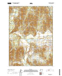 2020 Wilderville2020 Print · USGSThe Josephine County river valleys near Wilderville and Redwood are captured here as they appeared recently, showing a landscape of rural homesteads and river-bend geography. Researchers can find generational landmarks like Wilderville Cem, Sloan Cem, and the historic Robertson Bridge crossing.
 - 2023 Map of Wilderville, 2023 Print
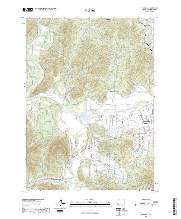 2023 Wilderville2023 Print · USGSThe confluence of the Rogue and Applegate rivers defines this part of Josephine County in the early twenty-first century. Family history researchers can locate several notable burial grounds, such as Wilderville Cem and Ferrydale Cem, while tracing the rural development of Merlin and Jerome Prairie.
End of results
Showing maps 1-14 of 14
Top cities near Wilderville
Frequently asked questions
- What are the different types of historical maps available for Wilderville?
- What is the oldest map of Wilderville?
- Where can I purchase historical maps of Wilderville for my home or office?
- Where can I download high-res historical maps of Wilderville?
- Are there historical topographic maps available for Wilderville?
- Is there historical aerial imagery available for Wilderville?
- Where are historical maps of Wilderville sourced from?