Old Maps of Four Corners, Oregon for Academic Research
Study the evolution of Four Corners with 16 high-resolution historic maps. Whether you're teaching, researching, or modeling changes in land use, these maps provide essential visual documentation of urban, environmental, and geographic change.
- Analyze long-term change: Track patterns in development, transportation, and natural features.
- Ideal for environmental or urban studies: Support academic projects with primary historical map data.
- Use in the classroom or lab: Educators and researchers rely on these maps to bring historical context to life.
These maps are a powerful tool for teaching, research, and visualizing how Four Corners has changed over the decades.
Four Corners, OR maps
(16)- 1925 Map of Stayton
 1925 Stayton1925 Print · USGSMarion County in the mid-1920s reveals a dense network of country schools and state institutions linked by the Southern Pacific railroad. Genealogists and historians can trace the foundations of local communities through landmarks like the State Training School, Victor Point School, and Willard Church.3 unique versions available
 - 1941 Map of Stayton
 1941 Stayton1941 Print · USGSMarion County agriculture and industry are in full swing just before the war as rail lines connect the Waldo Hills to the river. Trace the locations of dozens of vanished rural schoolhouses like Rocky Point School and rail stops at Durbin or Gesner.
 - 1953 Map of Salem
 1953 Salem1953 Print · USGSMid-century Oregon comes to life through this detailed survey of the Willamette Valley and the adjacent Pacific coastline. Researchers can trace the rail lines of the Southern Pacific RR, visit rural hubs like Fairview School, or locate coastal landmarks like the Yaquina Head Lighthouse.
 - 1954 Map of Salem
 1954 Salem1954 Print · USGSMid-century Western Oregon is centered on the productive Willamette River valley as its cities and infrastructure expand toward the mountains. Genealogists and historians can trace the rail lines of the Southern Pacific RR and Oregon Electric Ry through towns like Dallas, Independence, and Brownsville.
 - 1957 Map of Stayton, 1959 Print
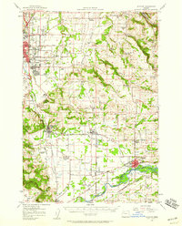 1957 Stayton1959 Print · USGSMarion County farming communities and the eastern fringes of the state capital are captured here during the late fifties. Genealogists can trace family names and rural landmarks across the Waldo Hills, including the John T Wisner Cemetery and numerous country schools like Rickey School.2 unique versions available
 - 1960 Map of Salem, 1968 Print
 1960 Salem1968 Print · USGSThe Willamette Valley and the surrounding mountain ranges are shown here in the 1960s during a period of significant reservoir construction. Genealogists and historians can trace rail lines like the Oregon Electric and find communities from Lincoln City on the coast to Sweet Home and Mill City in the foothills.2 unique versions available
 - 1962 Map of Salem
 1962 Salem1962 Print · USGSThe Willamette Valley and the surrounding Oregon ranges are captured here in the early sixties, showing the vital growth of the state's primary agricultural and academic corridor. Researchers can trace the mid-century footprints of Oregon State University and the University of Oregon, alongside rural landmarks like Camp Adair and Black Butte Mine.
 - 1963 Map of Salem
 1963 Salem1963 Print · USGSMid-century Oregon comes into focus as the Willamette Valley’s timber and agricultural industries meet the growing campuses of Oregon State University and the University of Oregon. Researchers can trace old rail lines like the Oregon Electric Railway and locate family plots at Siletz Cem or Dallas Cem.
 - 1969 Map of Salem East, 1971 Print
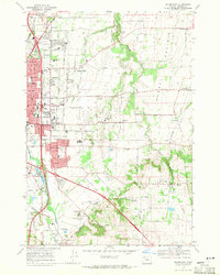 1969 Salem East1971 Print · USGSEast of the state capital in the late 1960s, this area shows the intersection of major institutions and Willamette Valley agriculture. Genealogists can trace family sites near Howell Cem or explore the early footprints of the Chemawa Indian School and Fairview Home.4 unique versions available
 - 1983 Map of North Santiam River, 1984 Print
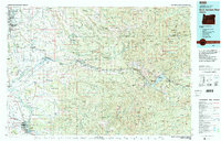 1983 North Santiam River1984 Print · USGSThe western Cascades and Willamette Valley transition in the early eighties, from the state capital to the high timberlands. Genealogists and historians can trace rail lines like the Southern Pacific and explore communities from Mill City to Silver Falls City.
 - 1991 Map of North Santiam River, 1993 Print
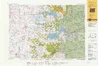 1991 North Santiam River1993 Print · USGSMarion and Linn counties come into focus in the early 1990s as the Santiam River valley transitions from the Willamette Valley floor to the Cascade peaks. Researchers can trace timber and rail history through Mill City, locate family landmarks near Stayton, or explore the boundaries of Silver Falls State Park.
 - 2011 Map of Salem East, 2011 Print
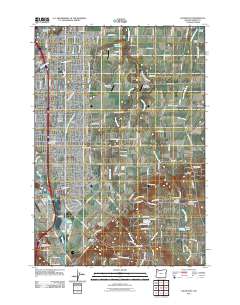 2011 Salem East2011 Print · USGSThe eastern reaches of Salem and the expansive Howell Prairie are documented here just as the suburban edge meets the valley's traditional farmland. Genealogists can trace family names at Stipp Memorial Cemetery and Eoff Cemetery or locate the historic center of Macleay.
 - 2014 Map of Salem East, 2014 Print
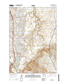 2014 Salem East2014 Print · USGSThe eastern suburbs and agricultural fringes of the state capital are documented in the early twenty-first century as urban development meets the orchards and fields. Genealogists can locate several historic burial sites, such as Hayesville Cem and Howell Cem, alongside the campus of Chemeketa Community Coll.
 - 2017 Map of Salem East, 2017 Print
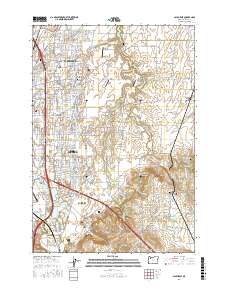 2017 Salem East2017 Print · USGSEastern Salem and its surrounding rural prairies are shown here in the late twenty-teens, revealing a mix of growing suburban neighborhoods and traditional agriculture. Researchers can trace the layout of local landmarks including Chemeketa Community Coll, Hayesville Cem, and McNary Field.
 - 2020 Map of Salem East, 2020 Print
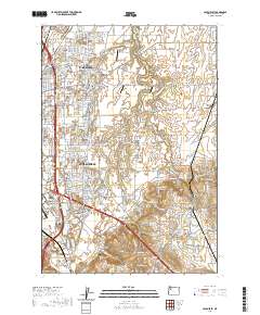 2020 Salem East2020 Print · USGSThe eastern edges of Salem meet the agricultural expanses of the Willamette Valley in this modern survey. Local historians can trace the growth of Four Corners and locate heritage sites like Stipp Memorial Cem and the Howell Cem.
 - 2023 Map of Salem East, 2023 Print
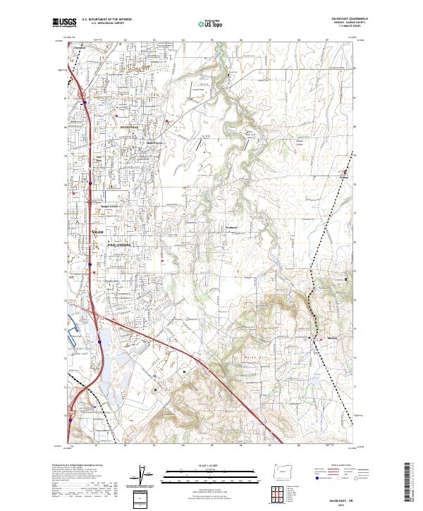 2023 Salem East2023 Print · USGSMarion County's eastern outskirts and the Willamette Valley's rural-urban edge are captured in this modern survey. Researchers can trace family history at Hayesville Cem or locate the historic school sites and aviation fields like Fly 'N' W Airport and McNary Field.
End of results
Showing maps 1-16 of 16
Frequently asked questions
- What are the different types of historical maps available for Four Corners?
- What is the oldest map of Four Corners?
- Where can I purchase historical maps of Four Corners for my home or office?
- Where can I download high-res historical maps of Four Corners?
- Are there historical topographic maps available for Four Corners?
- Is there historical aerial imagery available for Four Corners?
- Where are historical maps of Four Corners sourced from?