2000s (21st Century) Maps of Talbot, Oregon
Explore 5 historic maps of Talbot from the 2000s (21st Century). These maps offer a rare glimpse into what life looked like during the 2000s — showing old roads, neighborhoods, homes, and landmarks that have changed or disappeared over time.
Whether you're researching your family's past, planning a metal detecting trip, or studying how Talbot's landscape evolved across the 2000s, these high-resolution maps are a powerful tool for exploring the history of this region.
- Focus on a specific era: All maps on this page are from the 2000s, giving you a focused view of this time period.
- See what’s changed: Compare century-old streets, trails, and buildings to today's modern landscape using overlays and satellite layers.
- Research with precision: Use these maps for genealogy, historical research, land use analysis, or educational projects.
- View, download, or print: Maps are fully viewable online in high resolution, and can be downloaded or printed for your own records.
Start exploring Talbot's history through authentic maps from the 2000s. This is your window into the past.
Talbot, OR maps
(5)- 2011 Map of Sidney, 2011 Print
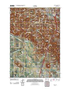 2011 Sidney2011 Print · USGSCovers Talbot, including Salem, Sunnyside, and other nearby areas
 - 2014 Map of Sidney, 2014 Print
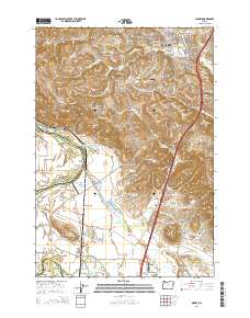 2014 Sidney2014 Print · USGSCovers Talbot, including Salem, Sunnyside, and other nearby areas
 - 2017 Map of Sidney, 2017 Print
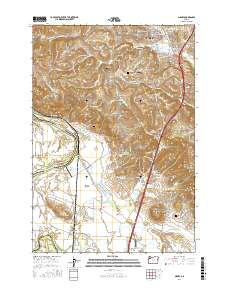 2017 Sidney2017 Print · USGSCovers Talbot, including Salem, Sunnyside, and other nearby areas
 - 2020 Map of Sidney, 2020 Print
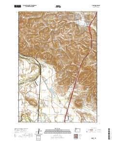 2020 Sidney2020 Print · USGSCovers Talbot, including Salem, Sunnyside, and other nearby areas
 - 2023 Map of Sidney, 2023 Print
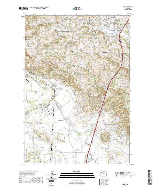 2023 Sidney2023 Print · USGSMarion County south of Salem reveals a rich landscape of river bottomlands and upland hills as it appeared recently. Genealogists and historians can trace family-named sites like Jory Cem and Looney Butte or the wetlands of Ankeny National Wildlife Refuge.
End of results
Showing maps 1-5 of 5
Top cities near Talbot
- Salem historical maps
- Corvallis historical maps
- Albany historical maps
- Keizer historical maps
- Lebanon historical maps
- Dallas historical maps
See more
Frequently asked questions
- What are the different types of historical maps available for Talbot?
- What is the oldest map of Talbot?
- Where can I purchase historical maps of Talbot for my home or office?
- Where can I download high-res historical maps of Talbot?
- Are there historical topographic maps available for Talbot?
- Is there historical aerial imagery available for Talbot?
- Where are historical maps of Talbot sourced from?