Old Maps of Lexington, Oregon for Academic Research
Study the evolution of Lexington with 6 high-resolution historic maps. Whether you're teaching, researching, or modeling changes in land use, these maps provide essential visual documentation of urban, environmental, and geographic change.
- Analyze long-term change: Track patterns in development, transportation, and natural features.
- Ideal for environmental or urban studies: Support academic projects with primary historical map data.
- Use in the classroom or lab: Educators and researchers rely on these maps to bring historical context to life.
These maps are a powerful tool for teaching, research, and visualizing how Lexington has changed over the decades.
Lexington, OR maps
(6)- 1953 Map of Pendleton, 1957 Print
 1953 Pendleton1957 Print · USGSNortheastern Oregon and the Columbia River frontier are captured here in the early fifties, a time of massive federal infrastructure projects. Researchers can trace the historic route of The Old Oregon Trail as it passes near the Umatilla Ordnance Depot and the new McNary Dam.4 unique versions available
 - 1956 Map of Pendleton
 1956 Pendleton1956 Print · USGSNortheastern Oregon’s high plateau and timbered peaks appear here in the mid-fifties, during a time of major military and hydroelectric development. Trace the path of The Old Oregon Trail alongside modern landmarks like McNary Dam and the Umatilla Ordnance Depot.
 - 1968 Map of Lexington, 1970 Print
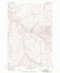 1968 Lexington1970 Print · USGSMorrow County's high plateau comes into focus in the late sixties as the rail-and-river economy of Lexington thrives. Genealogists and local historians can trace the Union Pacific line as it follows Willow Creek past the Grange Hall and Lexington Cem.
 - 1981 Map of Heppner
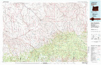 1981 Heppner1981 Print · USGSNorth-Central Oregon's canyon country comes into focus in the early 1980s, centered on the high-desert plateaus and timbered slopes of Morrow County. Researchers can trace the Union Pacific rail corridor and find remote landmarks like Lonerock, Hardman, and the high peaks of the Umatilla National Forest.
 - 2017 Map of Lexington, 2017 Print
 2017 Lexington2017 Print · USGSCovers Lexington, including Morrow County, United States, and other nearby areas
 - 2024 Map of Lexington, 2024 Print
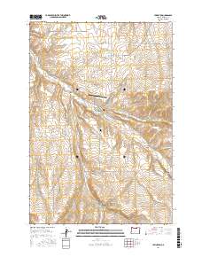
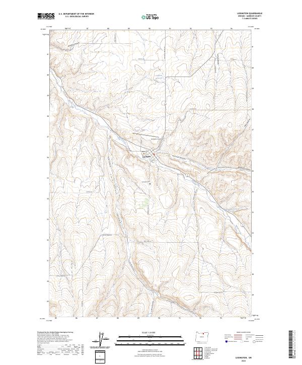 2024 Lexington2024 Print · USGSThe community of Lexington and the surrounding canyonlands are captured in detail in this recent survey. Researchers can trace family landmarks and local infrastructure like the Lexington Cem, Lexington Airport, and the winding course of Willow Creek.
End of results
Showing maps 1-6 of 6
Top cities near Lexington
Frequently asked questions
- What are the different types of historical maps available for Lexington?
- What is the oldest map of Lexington?
- Where can I purchase historical maps of Lexington for my home or office?
- Where can I download high-res historical maps of Lexington?
- Are there historical topographic maps available for Lexington?
- Is there historical aerial imagery available for Lexington?
- Where are historical maps of Lexington sourced from?