2010s Maps of Rivergate Industrial District, Portland
Explore 12 historic maps of Rivergate Industrial District from the 2010s. These maps offer a rare glimpse into what life looked like during the 2010s — showing old roads, neighborhoods, homes, and landmarks that have changed or disappeared over time.
Whether you're researching your family's past, planning a metal detecting trip, or studying how Rivergate Industrial District's landscape evolved across the 2010s, these high-resolution maps are a powerful tool for exploring the history of this region.
- Focus on a specific era: All maps on this page are from the 2010s, giving you a focused view of this time period.
- See what’s changed: Compare century-old streets, trails, and buildings to today's modern landscape using overlays and satellite layers.
- Research with precision: Use these maps for genealogy, historical research, land use analysis, or educational projects.
- View, download, or print: Maps are fully viewable online in high resolution, and can be downloaded or printed for your own records.
Start exploring Rivergate Industrial District's history through authentic maps from the 2010s. This is your window into the past.
Rivergate Industrial District, Portland maps
(12)- 2011 Map of Linnton, 2011 Print
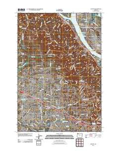 2011 Linnton2011 Print · USGSThe Willamette River and West Hills come together in this 2011 survey of Portland's western suburbs and industrial waterfront. Genealogists and historians can trace cemetery locations like Gatton Cemetery and explore landmarks like Cedar Mill and the Saint Johns Bridge.
 - 2011 Map of Vancouver, 2011 Print
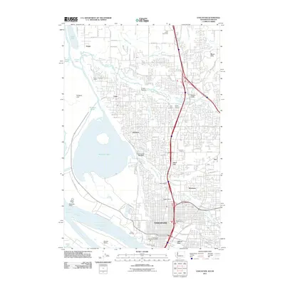 2011 Vancouver2011 Print · USGSThe northern bank of the Columbia River comes to life here during the early 2010s, showing a mix of urban density and vast riverfront wetlands. Researchers can locate landmarks like Officers Row, the industrial Port of Vancouver, and several burial grounds including Saint James Cemetery.
 - 2011 Map of Portland, 2011 Print
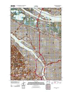 2011 Portland2011 Print · USGSPortland and Vancouver at the start of the 2010s show a mature urban landscape defined by river industry and historic neighborhoods. Researchers can trace local heritage through sites like Lone Fir Cemetery, Albina Yard, and the iconic Pittock Block.
 - 2011 Map of Sauvie Island, 2011 Print
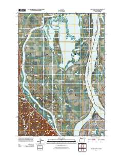 2011 Sauvie Island2011 Print · USGSSauvie Island and the Columbia River bottomlands are captured here in the early twenty-first century, showing a landscape of sloughs, lakes, and river landings. Researchers can trace historic sites like Moar Cemetery, early river stops at Chapman Landing, and the settlement of Burlington.
 - 2014 Map of Vancouver, 2014 Print
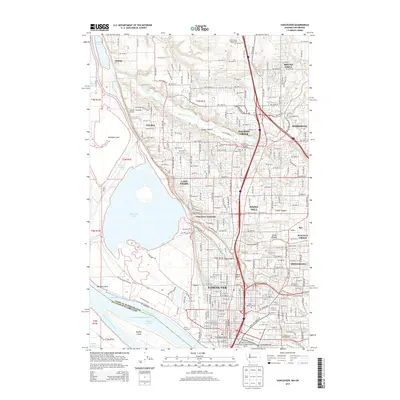 2014 Vancouver2014 Print · USGSThe Columbia River waterfront and the burgeoning suburbs of Clark County are captured here in the early twenty-first century. Researchers can trace family roots through Saint James Cem, explore the grounds of the Fort Vancouver National Historical Site, or locate the Robert L Delanoy Airport.
 - 2014 Map of Linnton, 2014 Print
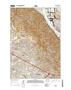 2014 Linnton2014 Print · USGSThe northern edge of the Portland metro area comes alive in the mid-2010s as suburban development meets the industrial riverfront. Researchers can trace historic burial sites like Gatton Cem and the Pioneer Catholic Cem of Saint Anthony of Padua alongside the iconic Saint Johns Bridge.
 - 2014 Map of Portland, 2014 Print
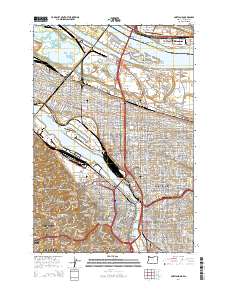 2014 Portland2014 Print · USGSThe Portland and Vancouver metro area is captured here during a period of dense urban development and complex river infrastructure. Researchers can trace the layout of historic neighborhoods like Irvington, locate Union Station, or explore the grounds of the Fort Vancouver National Historical Site.
 - 2014 Map of Sauvie Island, 2014 Print
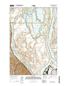 2014 Sauvie Island2014 Print · USGSThe river-laced interior of Sauvie Island and the western foothills of the Tualatin Mountains appear here in fine detail. Researchers can trace family sites near Burlington and Holbrook, or locate historical points like Moar Cem and Post Office Lake.
 - 2017 Map of Vancouver, 2017 Print
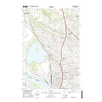 2017 Vancouver2017 Print · USGSThe Vancouver area near the turn of the 21st century showcases a blend of deep historical roots and modern suburban growth along the Columbia River. Researchers can trace early regional history through the Fort Vancouver National Historic Site and several local landmarks like Saint Johns Cem or the Vancouver Junction rail hub.
 - 2017 Map of Linnton, 2017 Print
 2017 Linnton2017 Print · USGSNorthwest Portland and the Tualatin Mountains are captured in this mid-2010s survey as suburban communities expand toward the county line. Researchers can locate several burial grounds like German Presbyterian Cem and find the landmark Saint Johns Bridge.
 - 2017 Map of Portland, 2017 Print
 2017 Portland2017 Print · USGSGreater Portland and Vancouver appear at a modern peak of urban density where the Willamette and Columbia rivers meet. Researchers can locate significant genealogical sites like Historic Columbian Cem or explore industrial landmarks like the Swan Island Basin and Pearson Field.
 - 2017 Map of Sauvie Island, 2017 Print
 2017 Sauvie Island2017 Print · USGSSauvie Island and the Columbia River confluence are captured here in the late twenty-teens, showing the intricate delta landscape. Local researchers can locate Moar Cem and early settlements like Burlington while tracing the historic Gilbert River waterway.
End of results
Showing maps 1-12 of 12
Frequently asked questions
- What are the different types of historical maps available for Rivergate Industrial District?
- What is the oldest map of Rivergate Industrial District?
- Where can I purchase historical maps of Rivergate Industrial District for my home or office?
- Where can I download high-res historical maps of Rivergate Industrial District?
- Are there historical topographic maps available for Rivergate Industrial District?
- Is there historical aerial imagery available for Rivergate Industrial District?
- Where are historical maps of Rivergate Industrial District sourced from?