Old Maps of Mill Creek, Oregon for Academic Research
Study the evolution of Mill Creek with 13 high-resolution historic maps. Whether you're teaching, researching, or modeling changes in land use, these maps provide essential visual documentation of urban, environmental, and geographic change.
- Analyze long-term change: Track patterns in development, transportation, and natural features.
- Ideal for environmental or urban studies: Support academic projects with primary historical map data.
- Use in the classroom or lab: Educators and researchers rely on these maps to bring historical context to life.
These maps are a powerful tool for teaching, research, and visualizing how Mill Creek has changed over the decades.
Mill Creek, OR maps
(13)- 1934 Map of The Dalles
 1934 The Dalles1934 Print · USGSThe Columbia River Gorge in the early thirties reveals a complex network of rapids and river engineering before the completion of major modern dams. Local historians can trace early school districts like Threemile Sch and family landmarks such as Clancy Ranch or Petersburg.4 unique versions available
 - 1953 Map of The Dalles, 1965 Print
 1953 The Dalles1965 Print · USGSThe Columbia River Gorge at mid-century shows a region being transformed by massive hydroelectric dams and a growing highway network. Researchers can trace the development of The Dalles Dam, locate the Maryhill Museum, and find old rail stops in Rufus, Wishram, and Arlington.3 unique versions available
 - 1956 Map of The Dalles
 1956 The Dalles1956 Print · USGSThe Columbia River Gorge and the high Cascades are captured in the mid-1950s, showing a vital corridor of rail and road. Researchers can trace the original path of The Old Oregon Trail or locate historical landmarks like the Maryhill Museum and Mount Hood.
 - 1957 Map of The Dalles
 1957 The Dalles1957 Print · USGSThe Columbia River Gorge and the high plateaus of the mid-1950s come alive on this detailed survey of northern Oregon and southern Washington. Researchers can trace the path of the Oregon Trail and The Old Barlow Road alongside river towns like The Dalles and Wishram.
 - 1957 Map of White Salmon, 1959 Print
 1957 White Salmon1959 Print · USGSThe Columbia River Gorge in the late fifties shows a bustling corridor of rail and river transport. Researchers can locate family landmarks like Ketchum Ranch, old meeting halls such as Mill Creek Grange, and the riverfront communities of Bingen and Mosier.2 unique versions available
 - 1974 Map of Brown Creek, 1977 Print
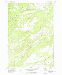 1974 Brown Creek1977 Print · USGSWasco County high country and the approaches to the Columbia River are captured in the mid-seventies, showing a mix of forestry and rural utility. Trace local landmarks like the Grange Hall, the Cem on Threemile Creek, and the precipitous Suicide Grade.
 - 1982 Map of Hood River, 1983 Print
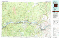 1982 Hood River1983 Print · USGSThe Columbia River Gorge in the early eighties shows a landscape shaped by massive hydroelectric projects and deep-rooted timber communities. Researchers can trace the rail-and-river network through Cascade Locks and The Dalles Dam, or explore the terrain of Gifford Pinchot National Forest.
 - 1994 Map of Brown Creek, 1996 Print
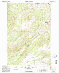 1994 Brown Creek1996 Print · USGSThe high country south of the Columbia River comes into focus in the mid-1990s, showcasing the intersection of wilderness management and rural life. Researchers can locate the Grange Hall, trace the steep Suicide Grade, and find Mill Creek Falls.
 - 2011 Map of Brown Creek, 2011 Print
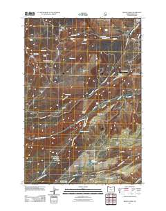 2011 Brown Creek2011 Print · USGSWasco County’s high plateaus and canyon lands are captured here in the early twenty-first century, showcasing a rural landscape defined by ranching and water management. You can trace family landmarks and local history at the Obrist Cemetery, Wasco Lookout, and Mill Creek Falls.
 - 2014 Map of Brown Creek, 2014 Print
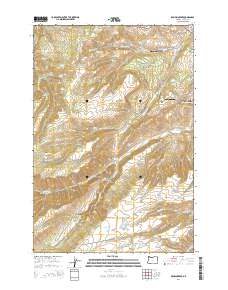 2014 Brown Creek2014 Print · USGSWasco County and the eastern reaches of the Mount Hood National Forest are mapped here in the early twenty-first century. Researchers can trace family history through the Obrist Cemetery and explore the high-country landscape of Seward Flat and Thousand Acre Pasture.
 - 2017 Map of Brown Creek, 2017 Print
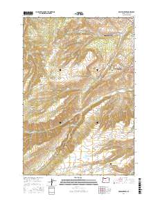 2017 Brown Creek2017 Print · USGSThe high plateau of Wasco County meets the forest edge in the late twenty-teens, revealing a landscape of managed timber and remote ranching. Researchers can trace family-named sites like Obrist Cem and Liechti Pond or explore the geography of Government Flat.
 - 2020 Map of Brown Creek, 2020 Print
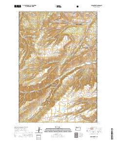 2020 Brown Creek2020 Print · USGSWasco County’s high plateaus and forest boundaries are captured here in the contemporary era, showing a landscape of livestock grazing and mountain aviation. Researchers can trace family history through the Obrist Cem or locate old landmarks like Suicide Grade and Chenoweth Airpark.
 - 2024 Map of Brown Creek, 2024 Print
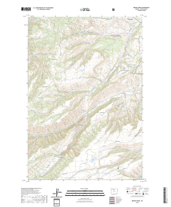 2024 Brown Creek2024 Print · USGSThe foothills of the Cascades meet the plateau in this contemporary look at the forests and flats west of the Columbia River. Genealogists and historians can trace family-named landmarks like Obrist Cem, Obrist Grade, and the steep transit of Suicide Grade.
End of results
Showing maps 1-13 of 13
Top cities near Mill Creek
- The Dalles historical maps
- White Salmon historical maps
- Chenowith historical maps
- Bingen historical maps
- Dufur historical maps
- Mosier historical maps
Frequently asked questions
- What are the different types of historical maps available for Mill Creek?
- What is the oldest map of Mill Creek?
- Where can I purchase historical maps of Mill Creek for my home or office?
- Where can I download high-res historical maps of Mill Creek?
- Are there historical topographic maps available for Mill Creek?
- Is there historical aerial imagery available for Mill Creek?
- Where are historical maps of Mill Creek sourced from?