Old Maps of North Plains, Oregon
Explore 27 old maps of North Plains, spanning from 1915 to today. These high-resolution historic maps reveal how streets, neighborhoods, landmarks, and natural features evolved over time — perfect for genealogy, metal detecting, research, and local history exploration.
What you can do with these maps:
- See how North Plains changed over time: Compare historical maps to modern-day views to trace roads, homesites, rail lines & more.
- View detailed metadata: Each map includes creators, publishers, year, scale, and archive source.
- Overlay maps with satellite & LiDAR: Visualize the past alongside modern tools to explore terrain & human change.
- Trusted historical sources: Maps sourced from the USGS, Library of Congress, and other archives.
- Access maps your way: View online, download high-res files, or order prints for personal or research use.
Start exploring old maps of North Plains to uncover forgotten places, hidden landmarks, and the deep history beneath your feet.
North Plains, OR maps
(27)- 1915 Map of Hillsboro
 1915 Hillsboro1915 Print · USGSThe Tualatin Valley and the confluence of the Columbia and Willamette rivers are shown here at the peak of the electric rail era. Researchers can trace historic family schoolhouses like Mason Hill School and vanished landings such as Blurock Landing.
 - 1918 Map of Hillsboro
 1918 Hillsboro1918 Print · USGSThe Tualatin Valley and Columbia riverfront are seen here during the heyday of the electric interurban and steam rail era. Researchers can trace family sites at Mason Hill School, identify the river life of Sauvie Island, or locate vanished stops like Cornelius Pass.4 unique versions available
 - 1940 Map of Hillsboro
 1940 Hillsboro1940 Print · USGSThe Tualatin Valley and the Columbia River confluence meet in this 1940 survey of the Hillsboro and North Portland region. Researchers can trace early twentieth-century rail lines like the Oregon Electric or locate historic rural landmarks such as Mountain View Cemetery and the Mason Hill School.
 - 1941 Map of Gales Creek
 1941 Gales Creek1941 Print · USGSWashington County at the start of the 1940s reveals a landscape of logging camps and rural schoolhouses. Genealogists can trace family roots at the Kansas City School and Watts School or locate early industrial sites like the F W Dixon Lumber Mill.
 - 1948 Map of Vancouver, 1957 Print
 1948 Vancouver1957 Print · USGSPost-war growth transforms the river valleys of the Pacific Northwest as the timber and rail economy thrives. Trace family roots in Tillamook or Oregon City, and locate vanished landmarks like the spit at Bayocean or the Skamania Mine.
 - 1950 Map of Vancouver
 1950 Vancouver1950 Print · USGSCoastal Oregon and the lower Columbia River valley are captured in detail just after the war. Researchers can trace historic rail routes like the Southern Pacific or locate early settlements such as Vernonia, Gaston, and the Grand Ronde Indian Reservation.
 - 1950 Map of Vancouver, 1951 Print
 1950 Vancouver1951 Print · USGSThe Pacific Northwest urban corridor meets the rugged coast in the years following the war, showing the expansion of Portland and Vancouver. Genealogists and historians can trace the reach of the Southern Pacific RR and locate coastal communities like Tillamook, Seaside, and Tolovana Park.
 - 1954 Map of Hillsboro, 1956 Print
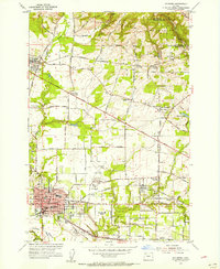 1954 Hillsboro1956 Print · USGSThe Tualatin Valley in the mid-fifties is captured here as the agricultural landscape of Washington County begins to integrate with the expanding rail and road networks. Genealogists can locate family sites such as the Joseph L Meek Land Claim, Tualatin Plains Cem, and the West Union School.
 - 1956 Map of Forest Grove, 1958 Print
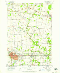 1956 Forest Grove1958 Print · USGSWashington County thrives as an agricultural and educational hub in the mid-fifties, centered on the growing cities of Forest Grove and Cornelius. Genealogists can trace family roots through numerous sites like St Francis Cemetery or the community of Verboort.4 unique versions available
 - 1956 Map of Forest Grove, 1959 Print
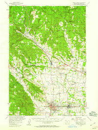 1956 Forest Grove1959 Print · USGSThe northern Willamette Valley in the mid-fifties reveals a landscape of established rail hubs and quiet agricultural settlements. Researchers can find deep local roots through features like Pacific University, Visitation Ch, and the many rural schoolhouses like Leisy School and Arcade Standard Sch.3 unique versions available
 - 1958 Map of Vancouver, 1968 Print
 1958 Vancouver1968 Print · USGSThe Lower Columbia and Willamette valleys thrive in the late sixties as major rail and river hubs. Genealogists and historians can trace the development of Portland, identify the grounds of Camp Withycombe, and locate coastal landmarks from Tillamook Head to Garibaldi.3 unique versions available
 - 1961 Map of Hillsboro
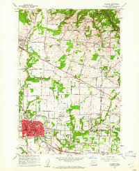 1961 Hillsboro1961 Print · USGSHillsboro and the Tualatin Valley are captured here in the early sixties as the rail-centered landscape began its suburban transformation. Genealogists and historians can trace family-named sites like the Joseph L Meek Land Claim, Tualatin Plains Cem, and the old community of Orenco.5 unique versions available
 - 1961 Map of Hillsboro, 1963 Print
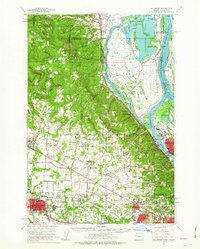 1961 Hillsboro1963 Print · USGSThe Tualatin Valley and Columbia River bottomlands appear in the early sixties as industrial expansion meets established farm country. Trace old rail lines and family history at Tualatin Plains Cem, North Plains, and the Meeks Land Claim Historical Marker.2 unique versions available
 - 1964 Map of Vancouver
 1964 Vancouver1964 Print · USGSThe Pacific Northwest interior and coast are shown here in the 1960s, from the Portland metropolitan hub to the rugged Pacific shoreline. Researchers can trace the legacy of the Grand Ronde Indian Reservation, the early layout of McMinnville, and the maritime approaches near Tillamook Head.
 - 1979 Map of Vancouver, 1980 Print
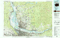 1979 Vancouver1980 Print · USGSThe Portland and Vancouver metropolitan area is captured here in the late seventies, showing the dense nexus of river, rail, and air transit. Genealogists and local historians can trace the footprints of Vancouver Barracks, Lincoln Memorial Park Cem, and the old rail lines of the Burlington Northern.2 unique versions available
 - 1979 Map of Nehalem River, 1980 Print
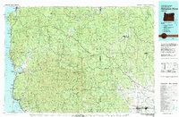 1979 Nehalem River1980 Print · USGSThe northern Oregon coast and its timber-rich interior are captured here in the late seventies, showing the vital connection between sea and forest. Researchers can trace the rail lines of the Southern Pacific and Burlington Northern through historic logging hubs like Vernonia, Timber, and Nehalem.3 unique versions available
 - 1990 Map of Hillsboro, 1995 Print
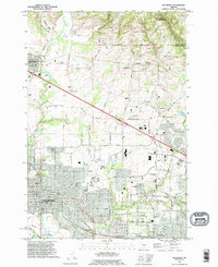 1990 Hillsboro1995 Print · USGSHillsboro and its neighboring communities in Washington County are documented here during the growth of the early nineties. Genealogists and historians can trace pioneer roots through the Joseph L Meek Land Claim and family sites near Helvetia Cemetery or Orenco.
 - 2011 Map of Hillsboro, 2011 Print
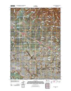 2011 Hillsboro2011 Print · USGSHillsboro and its surrounding agricultural valleys are captured during a period of modern expansion. Researchers can trace family roots at Helvetia Cemetery or locate civic landmarks like the Washington County Fairgrounds and Portland-Hillsboro Airport.
 - 2011 Map of Forest Grove, 2011 Print
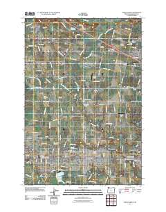 2011 Forest Grove2011 Print · USGSThe northern Tualatin Valley in the early twenty-first century shows a landscape of growing towns and deep-rooted agricultural history. Researchers can trace family sites across numerous burial grounds like Saint Francis Cemetery or locate the historic Pacific University campus.
 - 2014 Map of Forest Grove, 2014 Print
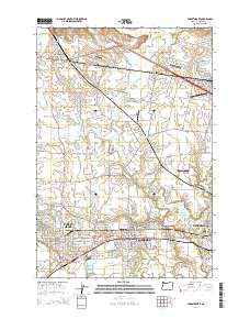 2014 Forest Grove2014 Print · USGSThe Tualatin Valley in the mid-2010s shows a landscape defined by collegiate history and a network of small aviation strips. Genealogists and historians can locate numerous pioneer burial sites like Union Point Cem or trace the early footprint of Pacific Univ.
 - 2014 Map of Hillsboro, 2014 Print
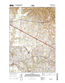 2014 Hillsboro2014 Print · USGSGreater Hillsboro and the Tualatin Valley are captured here during a period of significant growth and urban expansion into the surrounding farmland. Researchers can trace family history through the Old Scotch Cem, explore the Tualatin River wetlands, and locate regional landmarks like the Washington County Fair Complex.
 - 2017 Map of Forest Grove, 2017 Print
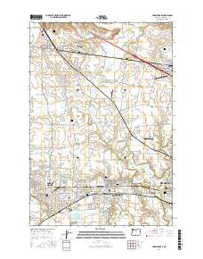 2017 Forest Grove2017 Print · USGSThe Tualatin Valley in the late 2010s shows a fascinating transition from historic farmsteads to modern suburban centers. Genealogists and historians can trace numerous family and fraternal burial sites like Jackson Cem and the Independent Order of Odd Fellows Cem.
 - 2017 Map of Hillsboro, 2017 Print
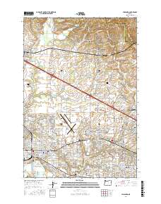 2017 Hillsboro2017 Print · USGSThe Tualatin Valley in the late 2010s shows a landscape of rapid suburban growth and deep-rooted agricultural history. Genealogists and researchers can locate historic burial sites like Old Scotch Cem or trace the early paths of Glencoe and Witch Hazel.
 - 2020 Map of Hillsboro, 2020 Print
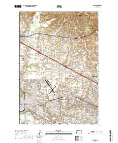 2020 Hillsboro2020 Print · USGSHillsboro and its surrounding Tualatin Valley communities are shown in fine detail during the early 2020s. Researchers can trace the civic core around the Washington County Courthouse or locate ancestral sites like the Old Scotch Cem and West Union Cem.
 - 2020 Map of Forest Grove, 2020 Print
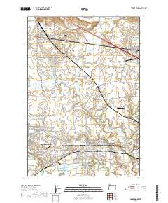 2020 Forest Grove2020 Print · USGSThe Tualatin Valley comes into focus in this recent survey, showcasing the growing corridor between Forest Grove and Hillsboro. Researchers can trace local heritage through many sites like Pacific University, Saint Francis Cem, and the quiet community of Verboort.
Showing maps 1-25 of 27
Top cities near North Plains
- Portland historical maps
- Vancouver historical maps
- Hillsboro historical maps
- Beaverton historical maps
- Tigard historical maps
- Tualatin historical maps
See more
Frequently asked questions
- What are the different types of historical maps available for North Plains?
- What is the oldest map of North Plains?
- Where can I purchase historical maps of North Plains for my home or office?
- Where can I download high-res historical maps of North Plains?
- Are there historical topographic maps available for North Plains?
- Is there historical aerial imagery available for North Plains?
- Where are historical maps of North Plains sourced from?