Old Maps of Conewago Township, Pennsylvania for Academic Research
Study the evolution of Conewago Township with 27 high-resolution historic maps. Whether you're teaching, researching, or modeling changes in land use, these maps provide essential visual documentation of urban, environmental, and geographic change.
- Analyze long-term change: Track patterns in development, transportation, and natural features.
- Ideal for environmental or urban studies: Support academic projects with primary historical map data.
- Use in the classroom or lab: Educators and researchers rely on these maps to bring historical context to life.
These maps are a powerful tool for teaching, research, and visualizing how Conewago Township has changed over the decades.
Conewago Township, PA maps
(27)- 1908 Map of Gettysburg
 1908 Gettysburg1908 Print · USGSGettysburg and rural Adams County appear in the early twentieth century as a landscape of memorialized battlefields and thriving rail-side villages. Genealogists can trace family roots through numerous country schools and landmark mills like Bream Mill or the Bermudian Churches.6 unique versions available
 - 1920 Map of Hanover, 1959 Print
 1920 Hanover1959 Print · USGSYork County's rail-and-mill economy is on full display in the early twentieth century, centered on the busy junctions of Hanover and Hanover Junction. Genealogists and local historians can trace hundreds of rural sites, including Lischy Church, Porters Sideling, and the Trimmer's School.
 - 1922 Map of Hanover
 1922 Hanover1922 Print · USGSYork County's rolling farmland and industrial hubs are captured here in the early 1920s, just as the Lincoln Highway began transforming rural travel. Genealogists can locate family-named landmarks and country institutions like Wildasin Chapel, Menges Mills, and the Iron Ridge Ironore PO.5 unique versions available
 - 1942 Map of Gettysburg, 1944 Print
 1942 Gettysburg1944 Print · USGSGettysburg and its surrounding borderlands are shown in great detail during the early 1940s, capturing the region's dense network of rural schools and mills. Genealogists can trace family-named landmarks such as Galt Kump PO, Hafers Mill, and Philips Delight Sch.
 - 1944 Map of Mc Sherrystown
 1944 Mc Sherrystown1944 Print · USGSAdams County at the height of the mid-forties reveals a landscape defined by small boroughs, limestone quarries, and rural schoolhouses. Genealogists can trace family locations near Mc Sherrystown, St Joseph Academy, and the rail junction at Berlin Jct.4 unique versions available
 - 1948 Map of Baltimore
 1948 Baltimore1948 Print · USGSMaryland and Pennsylvania crossroads are captured in the late 1940s, showing a landscape defined by historic rail lines and major military installations. Genealogists can trace family connections in Gettysburg, Westminster, and near the U.S. Naval Academy in Annapolis.2 unique versions available
 - 1951 Map of Gettysburg, 1954 Print
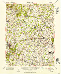 1951 Gettysburg1954 Print · USGSGettysburg and its surrounding Adams County townships appear here during the early fifties, blending solemn Civil War landmarks with a bustling mid-century rural economy. Genealogists can locate family-named sites like Ziegler Mill, trace students at Locust Grove Sch, or find ancestors at Conewago Chapel.3 unique versions available
 - 1954 Map of Baltimore
 1954 Baltimore1954 Print · USGSThe Mid-Atlantic region in the early fifties shows a landscape of growing suburban centers and heavy rail corridors. Trace mid-century transit networks and military landmarks from the Aberdeen Proving Ground to the Gettysburg National Military Park.
 - 1954 Map of Hanover, 1956 Print
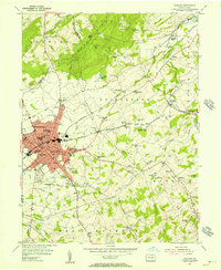 1954 Hanover1956 Print · USGSMid-century York County is captured here during a period of steady growth along the Western Maryland rail line. Genealogists and local researchers can trace family landmarks like Menges Mills, Fuhrmans Mill, and the expansive Mt Olivet Cem.5 unique versions available
 - 1956 Map of Baltimore
 1956 Baltimore1956 Print · USGSMid-century Maryland and Pennsylvania are captured here during a period of massive suburban and military growth across the Chesapeake region. Genealogists and historians can trace the rail corridors of the Baltimore & Ohio RR and locate landmarks like Fort McHenry or the Aberdeen Proving Ground.
 - 1957 Map of Baltimore, 1964 Print
 1957 Baltimore1964 Print · USGSMaryland and Southern Pennsylvania are shown during the mid-century expansion of the Baltimore-Washington corridor. Researchers can trace the extensive rail lines of the Baltimore & Ohio RR and locate sites like Fort Detrick and Gettysburg National Military Park.5 unique versions available
 - 1961 Map of Baltimore
 1961 Baltimore1961 Print · USGSMaryland and Pennsylvania are captured at a mid-century peak of industrial and military expansion. Genealogists and historians can trace rail corridors like the Western Maryland Ry or locate regional landmarks such as Camp Detrick and Kent Island.
 - 1983 Map of York, 1984 Print
 1983 York1984 Print · USGSSouth Central Pennsylvania and Northern Maryland meet along the Susquehanna during the early eighties. Genealogists and local historians can trace the transit networks of Conrail and Amtrak through towns like Red Lion and Seven Valleys.2 unique versions available
 - 1983 Map of Hagerstown, 1984 Print
 1983 Hagerstown1984 Print · USGSThe tri-state borderlands of Maryland, Pennsylvania, and West Virginia are shown in the early eighties as a hub of military installations and valley towns. Genealogists and historians can trace the landscape from Gettysburg National Military Park to the banks of the Potomac River.2 unique versions available
 - 1989 Map of Baltimore
 1989 Baltimore1989 Print · USGSThe Mid-Atlantic corridor in the late eighties is captured here, from the Baltimore harbor to the Blue Ridge foothills. Researchers can trace the sprawling footprints of Aberdeen Proving Ground, the historic grounds of Gettysburg National Military Park, and the winding Susquehanna River.
 - 1990 Map of Mc Sherrystown, 1995 Print
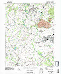 1990 Mc Sherrystown1995 Print · USGSThe Adams County countryside surrounding McSherrystown and New Oxford in the early nineties reveals a blend of farming, quarrying, and historic crossroads. Genealogists can locate family landmarks like Hostetters Meeting House, Low Dutch Cem, and the St Joseph Academy.
 - 1998 Map of Hanover, 2000 Print
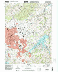 1998 Hanover2000 Print · USGSYork County's southern borderlands near the end of the century reveal a landscape of growing towns and industrial heritage. Genealogists and researchers can trace family landmarks like Mt Olivet Cem, Menges Mills, and several rural schools such as Bears Sch and Zumbrum Sch.
 - 2010 Map of McSherrystown, 2010 Print
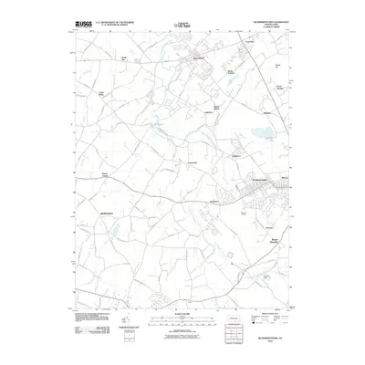 2010 McSherrystown2010 Print · USGSThe Adams County countryside surrounding McSherrystown is documented here during the early twenty-first century. Genealogists can trace family-named landmarks like McSherry and Bittinger, or locate rural crossroads including Square Corner and Edgegrove.
 - 2010 Map of Hanover, 2010 Print
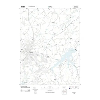 2010 Hanover2010 Print · USGSYork County's landscape in the early 2000s shows a complex mix of historic industrial mills and modern state park development. Trace the evolution of local industry and community life through sites like Menges Mills, Kraft Mill, and the Mount Olivet Cemetery.
 - 2013 Map of Hanover, 2013 Print
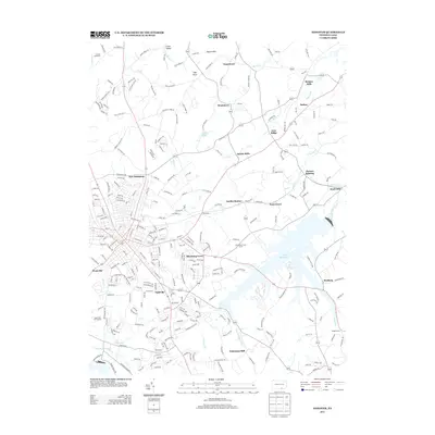 2013 Hanover2013 Print · USGSYork County's milling and agricultural heritage is clearly visible in this modern era survey of the areas surrounding Lake Marburg. Researchers can trace the legacy of regional industry at Menges Mills, Jacobs Mills, and the rail siding at Porters Sideling.
 - 2013 Map of McSherrystown, 2013 Print
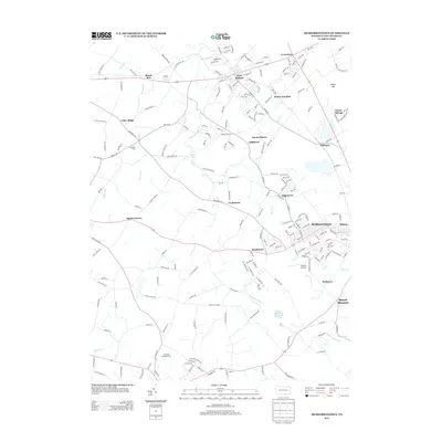 2013 McSherrystown2013 Print · USGSMcSherrystown and the surrounding Adams County farmlands are captured in this contemporary 2013 survey. Researchers can trace the modern layout of borough streets alongside long-standing rural landmarks like Berlin Junction, Kaiser Lake, and Pigeon Hill.
 - 2016 Map of Hanover, 2016 Print
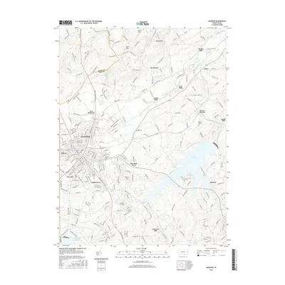 2016 Hanover2016 Print · USGSHanover and its neighboring boroughs are shown in high detail during the mid-2010s as they expand toward the Pigeon Hills. Researchers can trace historic mill sites and family-named cemeteries, from Menges Mills and Fuhrmans Mill to the Mumma Cem and Mount Olivet Cem.
 - 2016 Map of McSherrystown, 2016 Print
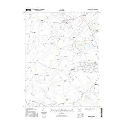 2016 McSherrystown2016 Print · USGSAdams County’s borough and farm networks are captured here during a period of steady growth between New Oxford and McSherrystown. Researchers can trace family history through numerous churchyards like Conewago Chapel Basilica Cem and find vanished rail-line points like Berlin Junction.
 - 2019 Map of McSherrystown, 2019 Print
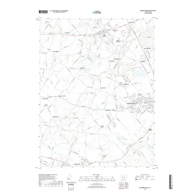 2019 McSherrystown2019 Print · USGSThe boroughs and crossroads of Adams County appear in high detail during the late twenty-teens. Genealogists and local historians can trace the foundations of the community at Saint Joseph Academy, the New Oxford Cem, and John's Burnt Mill Bridge.
 - 2019 Map of Hanover, 2019 Print
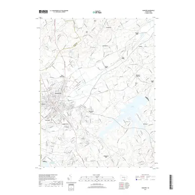 2019 Hanover2019 Print · USGSHanover and its York County surrounds are shown in detail here just before the decade's end, from the dense borough streets to the waters of Lake Marburg. Researchers can trace local heritage through numerous burial sites like Mumma Cem or explore early industrial hamlets such as Porters Sideling and Ambau.
Showing maps 1-25 of 27
Top cities near Conewago Township
- Westminster historical maps
- Hanover historical maps
- Parkville historical maps
- Gettysburg historical maps
- West Manheim Township historical maps
- Taneytown historical maps
See more
Top neighborhoods of Conewago Township
Frequently asked questions
- What are the different types of historical maps available for Conewago Township?
- What is the oldest map of Conewago Township?
- Where can I purchase historical maps of Conewago Township for my home or office?
- Where can I download high-res historical maps of Conewago Township?
- Are there historical topographic maps available for Conewago Township?
- Is there historical aerial imagery available for Conewago Township?
- Where are historical maps of Conewago Township sourced from?