2000s (21st Century) Maps of Bethel Township, Pennsylvania
Explore 10 historic maps of Bethel Township from the 2000s (21st Century). These maps offer a rare glimpse into what life looked like during the 2000s — showing old roads, neighborhoods, homes, and landmarks that have changed or disappeared over time.
Whether you're researching your family's past, planning a metal detecting trip, or studying how Bethel Township's landscape evolved across the 2000s, these high-resolution maps are a powerful tool for exploring the history of this region.
- Focus on a specific era: All maps on this page are from the 2000s, giving you a focused view of this time period.
- See what’s changed: Compare century-old streets, trails, and buildings to today's modern landscape using overlays and satellite layers.
- Research with precision: Use these maps for genealogy, historical research, land use analysis, or educational projects.
- View, download, or print: Maps are fully viewable online in high resolution, and can be downloaded or printed for your own records.
Start exploring Bethel Township's history through authentic maps from the 2000s. This is your window into the past.
Bethel Township, PA maps
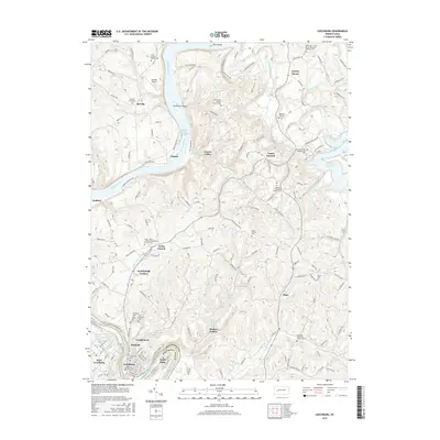
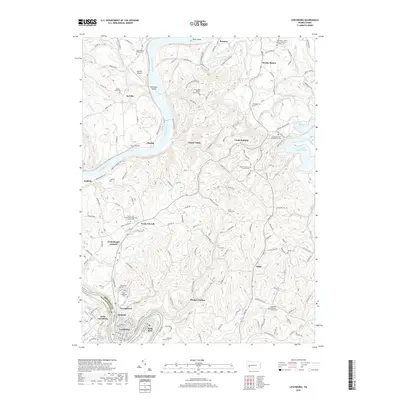
(10)- 2010 Map of Leechburg, 2010 Print
 2010 Leechburg2010 Print · USGSCovers Bethel Township, including Leechburg, West Leechburg, and other nearby areas
 - 2010 Map of Whitesburg, 2010 Print
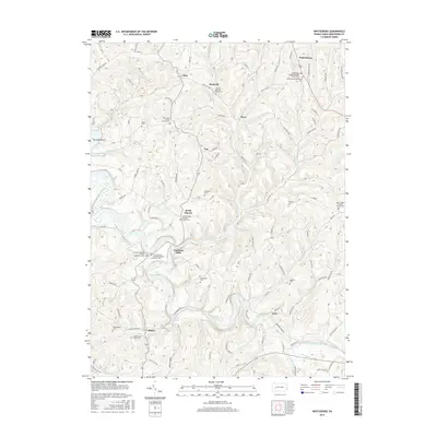
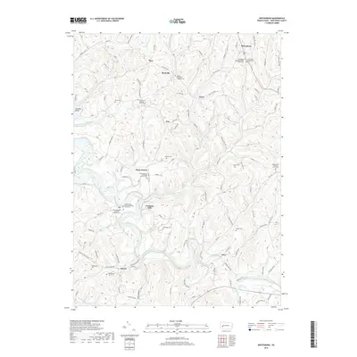
 2010 Whitesburg2010 Print · USGSCovers Bethel Township, including South Bend Township, Burrell Township, and other nearby areas
 - 2013 Map of Leechburg, 2013 Print
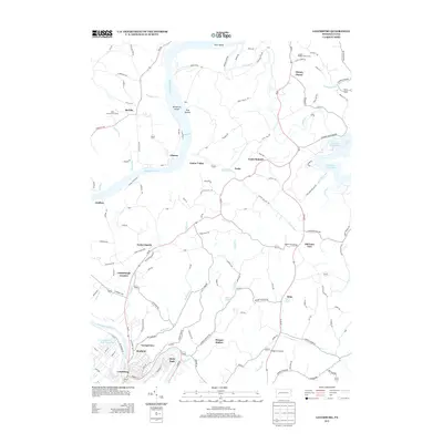 2013 Leechburg2013 Print · USGSCovers Bethel Township, including Leechburg, West Leechburg, and other nearby areas
 - 2013 Map of Whitesburg, 2013 Print
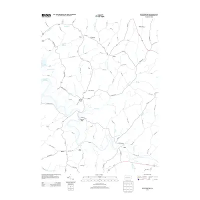 2013 Whitesburg2013 Print · USGSCovers Bethel Township, including South Bend Township, Burrell Township, and other nearby areas
 - 2016 Map of Whitesburg, 2016 Print
 2016 Whitesburg2016 Print · USGSCovers Bethel Township, including South Bend Township, Burrell Township, and other nearby areas
 - 2016 Map of Leechburg, 2016 Print
 2016 Leechburg2016 Print · USGSCovers Bethel Township, including Leechburg, West Leechburg, and other nearby areas
 - 2019 Map of Whitesburg, 2019 Print
 2019 Whitesburg2019 Print · USGSCovers Bethel Township, including South Bend Township, Burrell Township, and other nearby areas
 - 2019 Map of Leechburg, 2019 Print
 2019 Leechburg2019 Print · USGSCovers Bethel Township, including Leechburg, West Leechburg, and other nearby areas
 - 2023 Map of Leechburg, 2023 Print
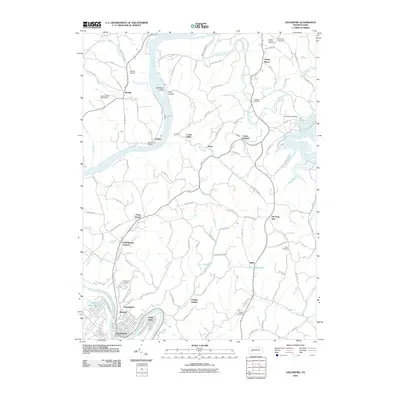
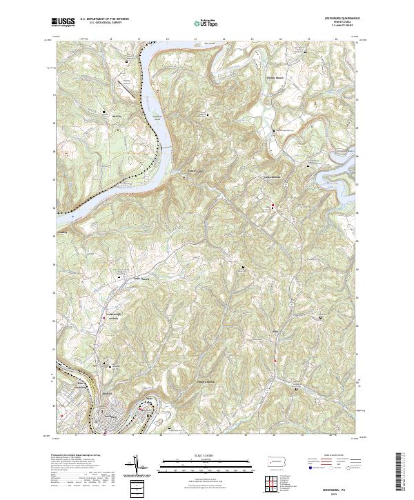 2023 Leechburg2023 Print · USGSLeechburg and its river-carved surroundings are captured in this recent survey at the confluence of the Kiskiminetas and Allegheny. Researchers can trace numerous family and denominational sites like Smail Family Cem, Grinder Cem, and Bethel Lutheran Church Cem.
 - 2023 Map of Whitesburg, 2023 Print
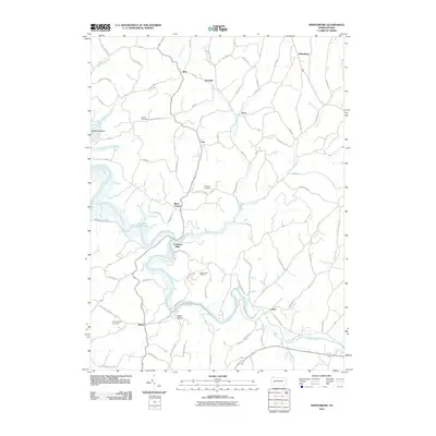
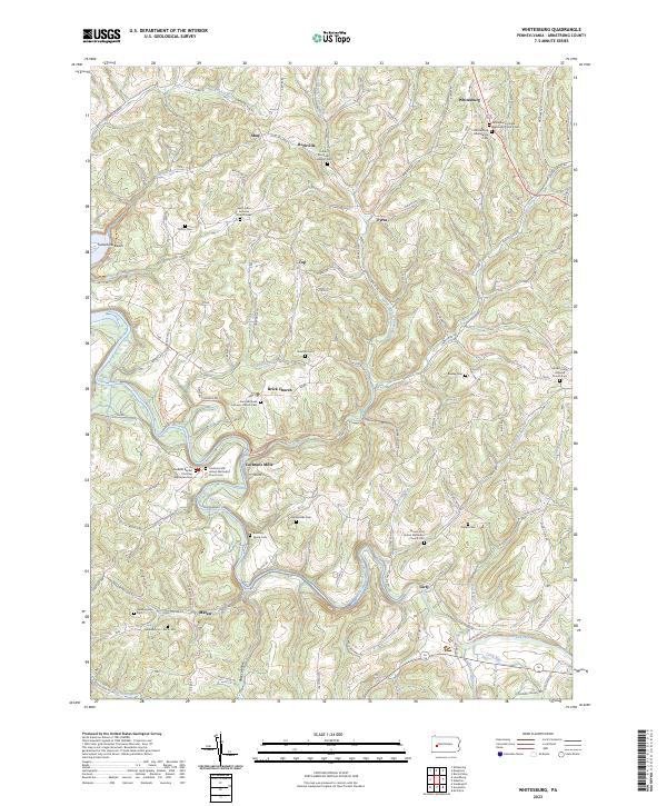 2023 Whitesburg2023 Print · USGSArmstrong County's rural landscape is captured here in the early twenty-first century, showing a network of upland farms and creek valleys. Genealogists can trace family names at Ramaley Family Cem, McDonalds Cem, and the historic settlement of Cochrans Mills.
End of results
Showing maps 1-10 of 10
Top cities near Bethel Township
- Plum historical maps
- New Kensington historical maps
- Lower Burrell historical maps
- Harrison Township historical maps
- Arnold historical maps
- Vandergrift historical maps
See more
Top neighborhoods of Bethel Township
- Cooks Summit historical maps
- Old Gum Tree historical maps
- Center Valley historical maps
- Neale historical maps
Frequently asked questions
- What are the different types of historical maps available for Bethel Township?
- What is the oldest map of Bethel Township?
- Where can I purchase historical maps of Bethel Township for my home or office?
- Where can I download high-res historical maps of Bethel Township?
- Are there historical topographic maps available for Bethel Township?
- Is there historical aerial imagery available for Bethel Township?
- Where are historical maps of Bethel Township sourced from?