Old Maps of Juniata Crossing, East Providence Township for Hiking & Exploration
Hike through history with 17 historic maps of Juniata Crossing. Explore old trails, ghost towns, and forgotten backroads — perfect for outdoor adventurers and local explorers.
- Rediscover forgotten places: Map out old mining camps, roads, and footpaths that no longer exist on modern maps.
- Layer with modern tools: Combine with LiDAR or satellite views to plan hikes through historical terrain.
- Made for exploration: Popular among hikers, overlanders, and local history lovers.
Use these maps to find adventure and explore the hidden past of Juniata Crossing.
Juniata Crossing, East Providence Township maps
(17)- 1927 Map of Clearville
 1927 Clearville1927 Print · USGSBedford and Fulton counties appear here in the late twenties, showing a landscape of high ridges and isolated mountain valleys. Genealogists can trace family roots through numerous rural landmarks like Hendershot Cemetery, Ottown Sch, and the village of Clearville.
 - 1931 Map of Clearville
 1931 Clearville1931 Print · USGSBedford County at the start of the 1930s shows a landscape of deep ridges and busy valley farms. Genealogists can trace family names through landmarks like Jackson Mills, Chaneysville, and schools such as Barkman Sch or Bittle Sch.3 unique versions available
 - 1944 Map of Clearville, 1945 Print
 1944 Clearville1945 Print · USGSBedford and Fulton Counties are captured here in the mid-1940s, showing a landscape of steep ridges and tight-knit valley settlements. Researchers can locate numerous vanished rural landmarks, from Silver Mills and Mills Store to the Hendershot Cem and Indian Spring Sch.
 - 1948 Map of Cumberland
 1948 Cumberland1948 Print · USGSMid-century Appalachia and the Shenandoah Valley are shown in detail, documenting the industrial and transportation hubs of the tri-state area. Genealogists can trace family roots through settlements like Double Tollgate and Bunker Hill or along the Baltimore & Ohio RR.3 unique versions available
 - 1952 Map of Cumberland
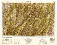 1952 Cumberland1952 Print · USGSThe Potomac Highlands and the Shenandoah Valley are revealed in this early 1950s survey of the Appalachian interior. Researchers can trace the river-and-rail corridors connecting Cumberland, Winchester, and the recreational waters of Deep Creek Lake.
 - 1956 Map of Cumberland, 1966 Print
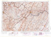 1956 Cumberland1966 Print · USGSThe tri-state Highlands in the mid-1950s show a landscape shaped by coal, timber, and the massive presence of the Baltimore & Ohio RR. Researchers can trace the industrial corridor from Cumberland through the Allegheny Mountains to mountain retreats like Deep Creek Lake.6 unique versions available
 - 1957 Map of Cumberland
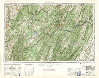 1957 Cumberland1957 Print · USGSThe Potomac River valley and the ridges of the Allegheny Front define this mid-century landscape at the intersection of Maryland, West Virginia, and Pennsylvania. Trace the steam-era rail lines of the Baltimore and Ohio RR or locate rural landmarks like St Stephens Church and Stony River Dam.
 - 1961 Map of Cumberland
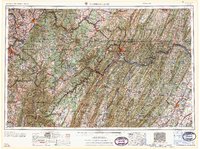 1961 Cumberland1961 Print · USGSThe tri-state highlands of Maryland, West Virginia, and Pennsylvania are shown in the mid-twentieth century as a complex landscape of ridges and river valleys. Researchers can trace the winding Potomac River and find old rail-and-river towns like Cumberland, Keyser, and Morgantown.
 - 1962 Map of Cumberland
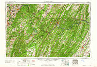 1962 Cumberland1962 Print · USGSThe central Appalachians meet at the height of the mid-century industrial era, showing the rugged topography between Morgantown and Winchester. Genealogists can trace family lands near Fort Necessity or along the vital Baltimore & Ohio RR corridors.
 - 1967 Map of Mench, 1970 Print
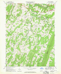 1967 Mench1970 Print · USGSBedford County in the late sixties reveals a landscape of high ridges and deep creek valleys centered around Mench and Mattie. Researchers can trace rural life through numerous landmarks like Jackson Mills, several Covered Bridge crossings, and Wesley Chapel.3 unique versions available
 - 1981 Map of Cumberland, 1982 Print
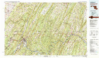 1981 Cumberland1982 Print · USGSThe tri-state region of Maryland, Pennsylvania, and West Virginia is captured here in the early eighties as a landscape of industrial history and ridgeline geography. Researchers can trace the heritage of the C & O Canal and the B & O RR through mountain gaps and coal towns like Eckhart Mines and Frostburg.2 unique versions available
 - 1994 Map of Mench, 1997 Print
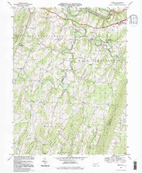 1994 Mench1997 Print · USGSBedford and Fulton County at the close of the twentieth century show a landscape of deep ridges and rural crossroads. Genealogists can trace family roots through numerous sites like Wesley Chapel, Mattie, and the old structures at Jackson Mills.
 - 2010 Map of Mench, 2010 Print
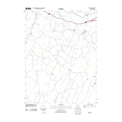 2010 Mench2010 Print · USGSBedford County's rural townships are documented here in the early twenty-first century, showing a landscape of quiet valleys and family-named roads. You can trace local landmarks like Felten's Covered Bridge, the settlement at Mattie, and the old crossing at Jackson Mills.
 - 2013 Map of Mench, 2013 Print
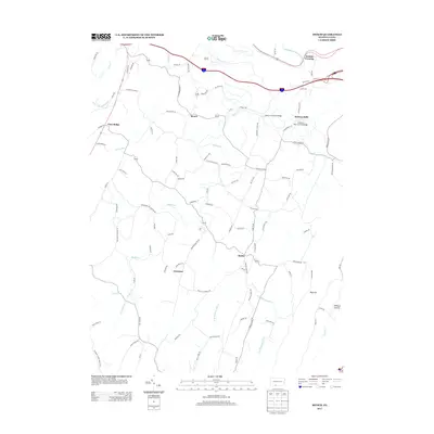 2013 Mench2013 Print · USGSBedford County's rural heartland is captured here in the early twenty-first century, showcasing a landscape of river crossings and mountain ridges. Genealogists and local historians can trace the roads connecting Mattie, Mench, and Emerson, while bridge enthusiasts can locate Felten's Covered Bridge and Jackson's Mill Covered Bridge.
 - 2016 Map of Mench, 2016 Print
 2016 Mench2016 Print · USGSBedford and Fulton Counties are captured in this mid-2010s survey of the ridge-and-valley landscape. Genealogists and historians can locate numerous family burial sites like Sparks Family Cem and historic spans including Felton's Covered Bridge.
 - 2019 Map of Mench, 2019 Print
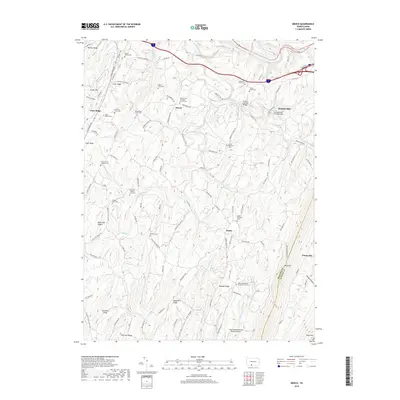 2019 Mench2019 Print · USGSBedford and Fulton County farmsteads and ridges are captured here in the late 2010s. Researchers can trace family roots at the Sparks Family and Dibert Farm cemeteries or locate historic crossings like Felten's Covered Bridge.
 - 2023 Map of Mench, 2023 Print
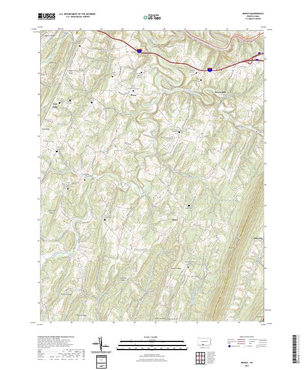 2023 Mench2023 Print · USGSBedford and Fulton County ridges come alive in this recent survey of the rural landscape between Mench and Emmaville. Genealogists can trace family burial sites including Dibert Farm Cem and Cherry Lane Brethren Cem among the hollows of Rays Hill.
End of results
Showing maps 1-17 of 17
Top cities near Juniata Crossing
- Bedford historical maps
- Everett historical maps
- Todd Township historical maps
- Saxton historical maps
- Broad Top City historical maps
- Hopewell historical maps
See more
Frequently asked questions
- What are the different types of historical maps available for Juniata Crossing?
- What is the oldest map of Juniata Crossing?
- Where can I purchase historical maps of Juniata Crossing for my home or office?
- Where can I download high-res historical maps of Juniata Crossing?
- Are there historical topographic maps available for Juniata Crossing?
- Is there historical aerial imagery available for Juniata Crossing?
- Where are historical maps of Juniata Crossing sourced from?