Old Maps of East Saint Clair Township, Pennsylvania
Explore 30 old maps of East Saint Clair Township, spanning from 1900 to today. These high-resolution historic maps reveal how streets, neighborhoods, landmarks, and natural features evolved over time — perfect for genealogy, metal detecting, research, and local history exploration.
What you can do with these maps:
- See how East Saint Clair Township changed over time: Compare historical maps to modern-day views to trace roads, homesites, rail lines & more.
- View detailed metadata: Each map includes creators, publishers, year, scale, and archive source.
- Overlay maps with satellite & LiDAR: Visualize the past alongside modern tools to explore terrain & human change.
- Trusted historical sources: Maps sourced from the USGS, Library of Congress, and other archives.
- Access maps your way: View online, download high-res files, or order prints for personal or research use.
Start exploring old maps of East Saint Clair Township to uncover forgotten places, hidden landmarks, and the deep history beneath your feet.
East Saint Clair Township, PA maps
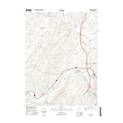
(30)- 1900 Map of Everett, 1959 Print
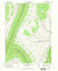
 1900 Everett1959 Print · USGSBedford County at the turn of the century shows a landscape of deep limestone valleys and industrial river towns. Genealogists and historians can trace family-named sites and rail stops from Everett to New Enterprise and the river depot at Cypher Sta.
 - 1902 Map of Everett
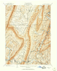
 1902 Everett1902 Print · USGSBedford County at the start of the twentieth century shows a landscape of deep ridge-and-valley industry and isolated mountain coves. Genealogists and historians can trace old homesteads and rail stops near Everett, New Enterprise, and the Valley Mill along Snake Spring Run.7 unique versions available
 - 1908 Map of Bedford, 1958 Print
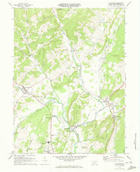
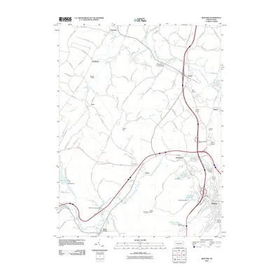
 1908 Bedford1958 Print · USGSBedford County at the turn of the century reveals a landscape of ridge-top schools and valley mill towns connected by early rail. Genealogists can trace family roots through numerous sites like Ryan Mill, Eight Square School, and Ogleton Felix PO.
 - 1910 Map of Bedford
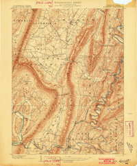
 1910 Bedford1910 Print · USGSBedford County's agrarian valleys and mountain ridges are captured here during the peak of the rural schoolhouse era. Researchers can trace ancestral locations at Weyant PO, Schellsburg, and Mowrys Mills, or locate early landmarks like Eight Square School.4 unique versions available
 - 1953 Map of Pittsburgh
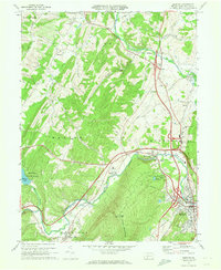
 1953 Pittsburgh1953 Print · USGSWestern Pennsylvania's industrial landscape at the start of the fifties shows the steel and rail corridors between Pittsburgh and Altoona. Trace family roots in river towns like Tarentum or follow the Pennsylvania Turnpike across Laurel Hill.
 - 1954 Map of Pittsburgh
 1954 Pittsburgh1954 Print · USGSWestern Pennsylvania in the early fifties remains a powerhouse of heavy industry and vital transit corridors. Genealogists and historians can trace the rail-and-river network connecting Pittsburgh, Johnstown, and Altoona via the Pennsylvania RR and the Lincoln Highway.2 unique versions available
 - 1958 Map of Pittsburgh
 1958 Pittsburgh1958 Print · USGSWestern Pennsylvania in the late fifties shows an industrial heartland defined by the confluence of the Allegheny River and Monongahela River. Researchers can trace the sprawling rail networks of the Pennsylvania RR and find established towns like Butler, Latrobe, and Windber.5 unique versions available
 - 1959 Map of Pittsburgh
 1959 Pittsburgh1959 Print · USGSWestern Pennsylvania in the late fifties is captured here at the height of its industrial era. Genealogists and historians can trace the riverfront growth of Pittsburgh, the rail works at Altoona, and the mountain gaps of Laurel Hill.
 - 1964 Map of Pittsburgh
 1964 Pittsburgh1964 Print · USGSWestern Pennsylvania in the late fifties and early sixties shows a landscape of powerful river industries and expanding highways. Genealogists and historians can trace the rail corridors of the Pennsylvania RR through industrial hubs like Johnstown, Altoona, and Nanty Glo.
 - 1968 Map of Everett West
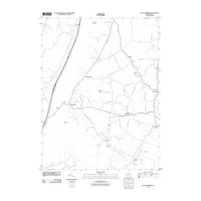
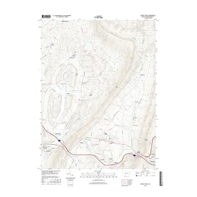
 1968 Everett West1968 Print · USGSBedford County at the end of the sixties reveals a landscape of high ridges and deep valleys shaped by the Juniata River. Researchers can trace the path of the Pennsylvania Railroad and find rural landmarks like Chalybeate and Messiah Ch.5 unique versions available
 - 1968 Map of New Enterprise, 1970 Print
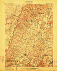
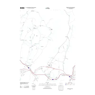
 1968 New Enterprise1970 Print · USGSMorrison Cove in the late sixties remains a landscape of tightly-knit valley settlements and steep ridges. Researchers can trace family history at Potter Creek Cem or locate community landmarks like New Enterprise and the St Marks-Union Ch.3 unique versions available
 - 1971 Map of Alum Bank, 1973 Print
 1971 Alum Bank1973 Print · USGSBedford County in the early 1970s shows a landscape of ridge-and-valley settlements connected by the Penn Central railroad. Genealogists and historians can locate family-named sites, rural churches like Horne Ch, and landmarks like the Fish Hatchery or Alum Bank.3 unique versions available
 - 1971 Map of Bedford, 1973 Print
 1971 Bedford1973 Print · USGSBedford County during the early seventies is a landscape defined by the Raystown Branch valley and the bustling Pennsylvania Turnpike. Researchers can trace family roots through St Pauls Cem, the Covered Bridge at Napier, and old crossroads like Wolfsburg and Cessna.3 unique versions available
 - 1981 Map of Johnstown, 1983 Print
 1981 Johnstown1983 Print · USGSSouth Central Pennsylvania is captured here in the early eighties, from the industrial heart of the Conemaugh Valley to the ridges of the Allegheny Front. Local historians can trace the rail corridors of Conrail and the growth of mountain communities like Ebensburg, Nanty Glo, and Windber.
 - 2010 Map of Everett West, 2010 Print
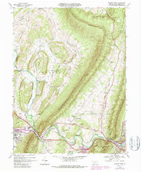
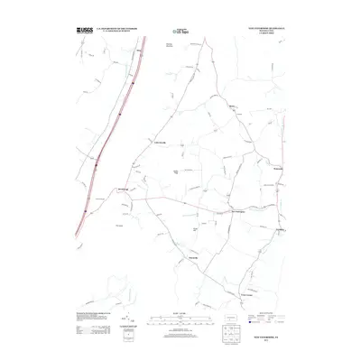
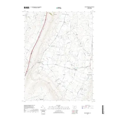
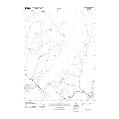 2010 Everett West2010 Print · USGSCovers East Saint Clair Township, including Bedford, Everett, and other nearby areas
 - 2010 Map of Bedford, 2010 Print
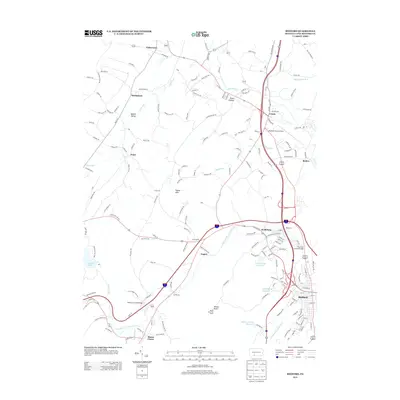
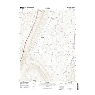
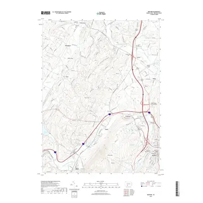
 2010 Bedford2010 Print · USGSCovers East Saint Clair Township, including Bedford, Napier Township, and other nearby areas
 - 2010 Map of New Enterprise, 2010 Print
 2010 New Enterprise2010 Print · USGSCovers East Saint Clair Township, including King, Bedford Township, and other nearby areas
 - 2013 Map of Bedford, 2013 Print
 2013 Bedford2013 Print · USGSCovers East Saint Clair Township, including Bedford, Napier Township, and other nearby areas
 - 2013 Map of Everett West, 2013 Print
 2013 Everett West2013 Print · USGSCovers East Saint Clair Township, including Bedford, Everett, and other nearby areas
 - 2013 Map of New Enterprise, 2013 Print
 2013 New Enterprise2013 Print · USGSCovers East Saint Clair Township, including King, Bedford Township, and other nearby areas
 - 2016 Map of New Enterprise, 2016 Print
 2016 New Enterprise2016 Print · USGSCovers East Saint Clair Township, including King, Bedford Township, and other nearby areas
 - 2016 Map of Everett West, 2016 Print
 2016 Everett West2016 Print · USGSCovers East Saint Clair Township, including Bedford, Everett, and other nearby areas
 - 2016 Map of Bedford, 2016 Print
 2016 Bedford2016 Print · USGSCovers East Saint Clair Township, including Bedford, Napier Township, and other nearby areas
 - 2019 Map of New Enterprise, 2019 Print
 2019 New Enterprise2019 Print · USGSCovers East Saint Clair Township, including King, Bedford Township, and other nearby areas
 - 2019 Map of Bedford, 2019 Print
 2019 Bedford2019 Print · USGSCovers East Saint Clair Township, including Bedford, Napier Township, and other nearby areas
Showing maps 1-25 of 30
Top cities near East Saint Clair Township
- Frankstown Township historical maps
- Bedford historical maps
- Roaring Spring historical maps
- Napier Township historical maps
- Everett historical maps
- King historical maps
See more
Top neighborhoods of East Saint Clair Township
- Fishertown historical maps
- Springhope historical maps
- Spring Meadow historical maps
- Reynoldsdale historical maps
- Churchville historical maps
Frequently asked questions
- What are the different types of historical maps available for East Saint Clair Township?
- What is the oldest map of East Saint Clair Township?
- Where can I purchase historical maps of East Saint Clair Township for my home or office?
- Where can I download high-res historical maps of East Saint Clair Township?
- Are there historical topographic maps available for East Saint Clair Township?
- Is there historical aerial imagery available for East Saint Clair Township?
- Where are historical maps of East Saint Clair Township sourced from?