2000s (21st Century) Maps of Mann Township, Pennsylvania
Explore 16 historic maps of Mann Township from the 2000s (21st Century). These maps offer a rare glimpse into what life looked like during the 2000s — showing old roads, neighborhoods, homes, and landmarks that have changed or disappeared over time.
Whether you're researching your family's past, planning a metal detecting trip, or studying how Mann Township's landscape evolved across the 2000s, these high-resolution maps are a powerful tool for exploring the history of this region.
- Focus on a specific era: All maps on this page are from the 2000s, giving you a focused view of this time period.
- See what’s changed: Compare century-old streets, trails, and buildings to today's modern landscape using overlays and satellite layers.
- Research with precision: Use these maps for genealogy, historical research, land use analysis, or educational projects.
- View, download, or print: Maps are fully viewable online in high resolution, and can be downloaded or printed for your own records.
Start exploring Mann Township's history through authentic maps from the 2000s. This is your window into the past.
Mann Township, PA maps
(16)- 2010 Map of Chaneysville, 2010 Print
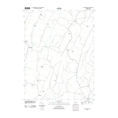 2010 Chaneysville2010 Print · USGSSettlement and terrain meet in this Bedford County landscape at the turn of the millennium. Researchers can trace rural road networks and family-named landmarks from Chaneysville to Elbinsville, or explore the geography of Big Mountain and Pine Ridge Natural Area.
 - 2011 Map of Bellegrove, 2011 Print
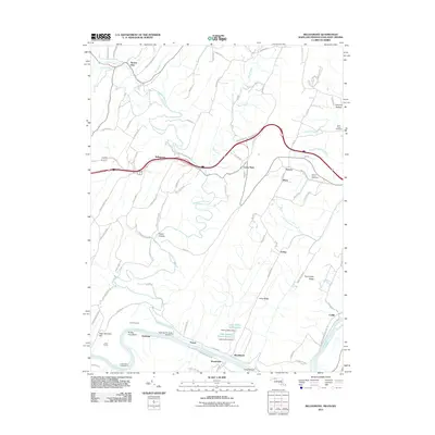 2011 Bellegrove2011 Print · USGSMaryland's river-and-rail corridor along the Potomac is captured here in the early twenty-first century. Researchers can trace historic family connections through Saint Pauls Cemetery and examine the engineering legacy of the Indigo Tunnel and Sideling Hill Creek Aqueduct.
 - 2011 Map of Artemas, 2011 Print
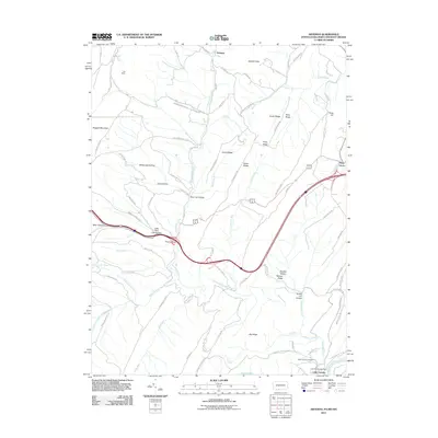 2011 Artemas2011 Print · USGSThe Potomac River border and the mountains of Allegany County are captured here just after the turn of the twenty-first century. Genealogists and hikers can trace landmarks like Saint Patricks Cemetery, the Little Orleans Post Office, and Artemas.
 - 2013 Map of Artemas, 2013 Print
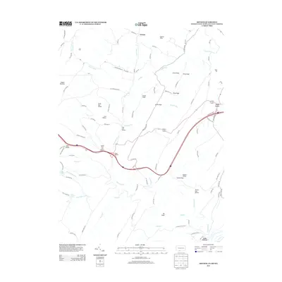 2013 Artemas2013 Print · USGSMaryland's panhandle and the surrounding borderlands appear in detail in this modern survey. Researchers can trace family names and natural landmarks through Kifer Hollow, Pratt Hollow, and the mineral waters of White Sulphur Spring.
 - 2013 Map of Chaneysville, 2013 Print
 2013 Chaneysville2013 Print · USGSSouthern Bedford County is seen here in the early twenty-first century, a landscape of high ridges and narrow valley settlements. Researchers can trace the rural road network connecting Chaneysville, Elbinsville, and the landing strip at Ragged Mountain Airport.
 - 2014 Map of Bellegrove, 2014 Print
 2014 Bellegrove2014 Print · USGSThe tri-state border region of Maryland, Pennsylvania, and West Virginia is captured here in the early twenty-first century as it follows the Potomac's course. Researchers can trace the path of the Chesapeake and Ohio Canal past Pearre and locate family history at Mt Olivet Cem.
 - 2016 Map of Chaneysville, 2016 Print
 2016 Chaneysville2016 Print · USGSThe mountain valleys of Bedford County remained deeply rural into the twenty-first century, shaped by high ridges and small creeks. Genealogists can trace family names and historic congregations at Barkman Cem, Zion Lutheran Church Cem, and the village of Chaneysville.
 - 2016 Map of Artemas, 2016 Print
 2016 Artemas2016 Print · USGSThe Potomac borderlands near Little Orleans are documented here in the early twenty-first century, showing the steep ridges of the Maryland-Pennsylvania line. Genealogists can locate family sites at Bennett Cemetery or Hope Cemetery and trace the paths of Fifteenmile Creek.
 - 2016 Map of Bellegrove, 2016 Print
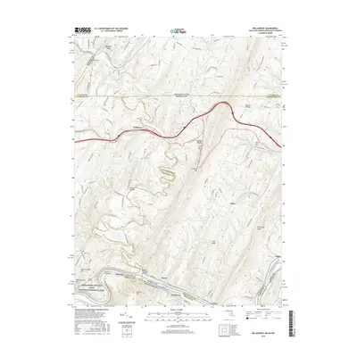 2016 Bellegrove2016 Print · USGSThe Potomac River and its rugged tributaries define this border region between Maryland, West Virginia, and Pennsylvania in the mid-2010s. Trace the path of the historic Chesapeake & Ohio Canal past Pearre and locate family burial sites at Mount Olivet Cem.
 - 2019 Map of Chaneysville, 2019 Print
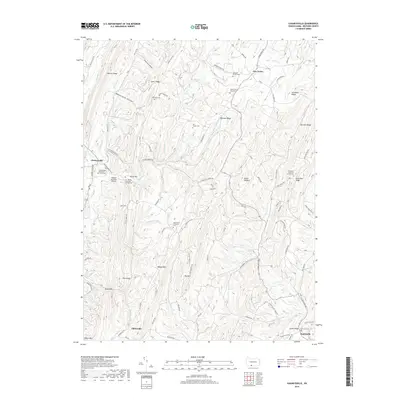 2019 Chaneysville2019 Print · USGSBedford County in the late 2010s remains a landscape of deep ridges and small mountain communities. Genealogists can trace family names through the Fletcher Family and Ash - Snyder cemeteries, or locate rural centers like Chaneysville and Elbinsville.
 - 2019 Map of Artemas, 2019 Print
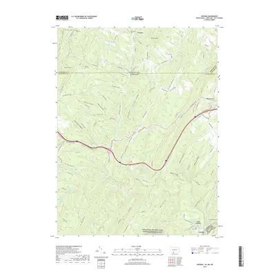 2019 Artemas2019 Print · USGSThe Pennsylvania-Maryland border country comes to life in this survey of the ridges and springs near Little Orleans. Genealogists and hikers can trace old family burial sites like Collins Farm Cem or explore the corridor of the Chesapeake and Ohio Canal.
 - 2019 Map of Bellegrove, 2019 Print
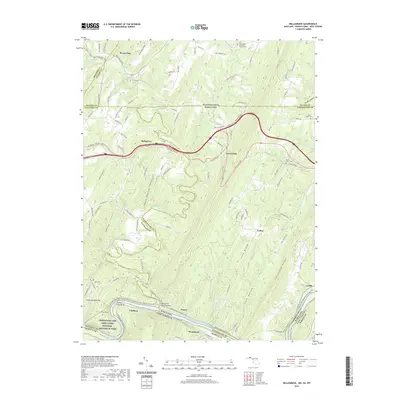 2019 Bellegrove2019 Print · USGSThe intersection of three states and the Potomac River corridor defines this region during the twenty-first century. Researchers can trace the legacy of the canal and railway through the Sideling Hill Creek Aqueduct and the Western Maryland Rail Trail.
 - 2023 Map of Chaneysville, 2023 Print
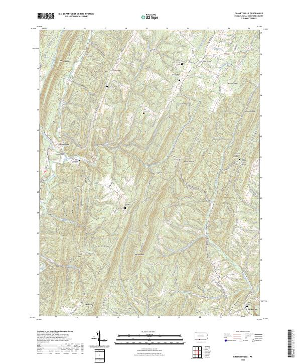 2023 Chaneysville2023 Print · USGSBedford County's southern ridges and valleys are mapped here in the modern era, showing the enduring rural layout near the Maryland line. Researchers can locate numerous family burial sites and old country parishes, including Mount Zion Christian Cem and Zion Lutheran Church Cem.
 - 2023 Map of Amaranth, 2023 Print
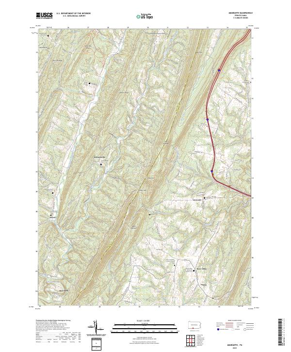 2023 Amaranth2023 Print · USGSSettled along the steep ridges of the Pennsylvania highlands, this area shows its agricultural and spiritual roots in the twenty-first century. Genealogists can locate family landmarks like Robinsonville Cem, Purcell, and Shreves Chapel.
 - 2023 Map of Artemas, 2023 Print
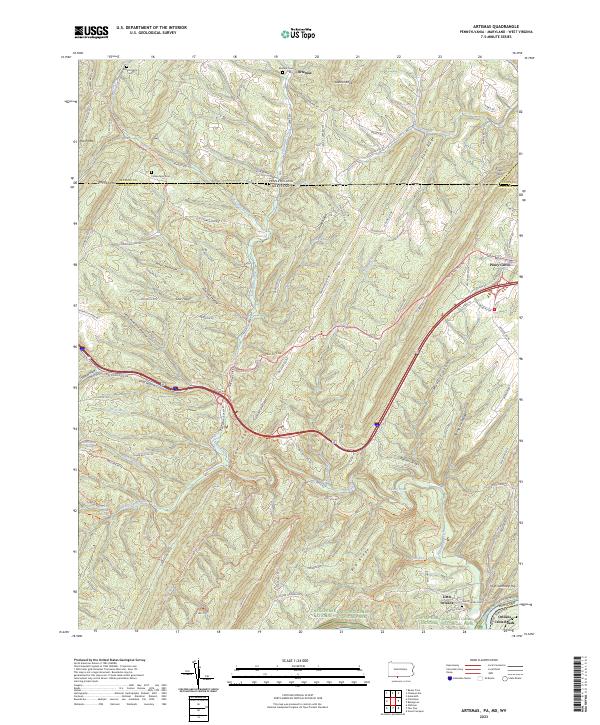 2023 Artemas2023 Print · USGSThe Pennsylvania and Maryland borderlands come alive in this survey, showcasing the ridge-and-valley terrain surrounding Artemas. Local historians can trace the paths of the National Pike and the Chesapeake and Ohio Canal, alongside sites like Saint Patricks Cem and Little Orleans.
 - 2023 Map of Bellegrove, 2023 Print
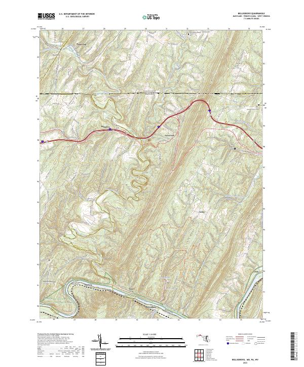 2023 Bellegrove2023 Print · USGSThe Potomac River valley and the ridges of the Appalachian mountains define this borderland region in the early twenty-first century. Researchers can trace the path of the Western Maryland Rail Trail or locate local landmarks like Bellegrove and Mount Olivet Cem.
End of results
Showing maps 1-16 of 16
Top cities near Mann Township
- Hancock historical maps
- Berkeley Springs historical maps
- Flintstone historical maps
- Rainsburg historical maps
- Little Orleans historical maps
Top neighborhoods of Mann Township
- Purcell historical maps
- Artemas historical maps
- Inglesmith historical maps
- Silver Mills historical maps
Frequently asked questions
- What are the different types of historical maps available for Mann Township?
- What is the oldest map of Mann Township?
- Where can I purchase historical maps of Mann Township for my home or office?
- Where can I download high-res historical maps of Mann Township?
- Are there historical topographic maps available for Mann Township?
- Is there historical aerial imagery available for Mann Township?
- Where are historical maps of Mann Township sourced from?