Old Maps of Manns Choice, Pennsylvania for Academic Research
Study the evolution of Manns Choice with 30 high-resolution historic maps. Whether you're teaching, researching, or modeling changes in land use, these maps provide essential visual documentation of urban, environmental, and geographic change.
- Analyze long-term change: Track patterns in development, transportation, and natural features.
- Ideal for environmental or urban studies: Support academic projects with primary historical map data.
- Use in the classroom or lab: Educators and researchers rely on these maps to bring historical context to life.
These maps are a powerful tool for teaching, research, and visualizing how Manns Choice has changed over the decades.
Manns Choice, PA maps
(30)- 1908 Map of Bedford, 1958 Print
 1908 Bedford1958 Print · USGSBedford County at the turn of the century reveals a landscape of ridge-top schools and valley mill towns connected by early rail. Genealogists can trace family roots through numerous sites like Ryan Mill, Eight Square School, and Ogleton Felix PO.
 - 1910 Map of Bedford
 1910 Bedford1910 Print · USGSBedford County's agrarian valleys and mountain ridges are captured here during the peak of the rural schoolhouse era. Researchers can trace ancestral locations at Weyant PO, Schellsburg, and Mowrys Mills, or locate early landmarks like Eight Square School.4 unique versions available
 - 1927 Map of Hyndman, 1967 Print
 1927 Hyndman1967 Print · USGSThe ridges and valleys of Bedford County appear here at a moment when rural life centered on dozens of mountain schools and the Baltimore and Ohio railroad. Genealogists can trace family footprints at Diehl Cem or locate the sites of St James Ch and the Bedford Valley PO.
 - 1931 Map of Hyndman
 1931 Hyndman1931 Print · USGSHyndman and the surrounding ridges of Bedford County are captured in the late twenties, showing a landscape of tight mountain gaps and railroad hubs. Researchers can trace family-named schoolhouses like Pender Sch, the old Bedford Valley PO, and the Horseshoe Trail.3 unique versions available
 - 1944 Map of Hyndman
 1944 Hyndman1944 Print · USGSBedford County in the mid-1940s is defined by its strategic mountain gaps and the busy rail corridors of Hyndman and Buffalo Mills. Researchers can trace the early Pennsylvania Turnpike or locate vanished landmarks like Bedford Valley P O and James Ch.
 - 1948 Map of Cumberland
 1948 Cumberland1948 Print · USGSMid-century Appalachia and the Shenandoah Valley are shown in detail, documenting the industrial and transportation hubs of the tri-state area. Genealogists can trace family roots through settlements like Double Tollgate and Bunker Hill or along the Baltimore & Ohio RR.3 unique versions available
 - 1952 Map of Cumberland
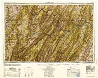 1952 Cumberland1952 Print · USGSThe Potomac Highlands and the Shenandoah Valley are revealed in this early 1950s survey of the Appalachian interior. Researchers can trace the river-and-rail corridors connecting Cumberland, Winchester, and the recreational waters of Deep Creek Lake.
 - 1953 Map of Pittsburgh
 1953 Pittsburgh1953 Print · USGSWestern Pennsylvania's industrial landscape at the start of the fifties shows the steel and rail corridors between Pittsburgh and Altoona. Trace family roots in river towns like Tarentum or follow the Pennsylvania Turnpike across Laurel Hill.
 - 1954 Map of Pittsburgh
 1954 Pittsburgh1954 Print · USGSWestern Pennsylvania in the early fifties remains a powerhouse of heavy industry and vital transit corridors. Genealogists and historians can trace the rail-and-river network connecting Pittsburgh, Johnstown, and Altoona via the Pennsylvania RR and the Lincoln Highway.2 unique versions available
 - 1956 Map of Cumberland, 1966 Print
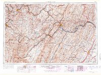 1956 Cumberland1966 Print · USGSThe tri-state Highlands in the mid-1950s show a landscape shaped by coal, timber, and the massive presence of the Baltimore & Ohio RR. Researchers can trace the industrial corridor from Cumberland through the Allegheny Mountains to mountain retreats like Deep Creek Lake.6 unique versions available
 - 1957 Map of Cumberland
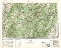 1957 Cumberland1957 Print · USGSThe Potomac River valley and the ridges of the Allegheny Front define this mid-century landscape at the intersection of Maryland, West Virginia, and Pennsylvania. Trace the steam-era rail lines of the Baltimore and Ohio RR or locate rural landmarks like St Stephens Church and Stony River Dam.
 - 1958 Map of Pittsburgh
 1958 Pittsburgh1958 Print · USGSWestern Pennsylvania in the late fifties shows an industrial heartland defined by the confluence of the Allegheny River and Monongahela River. Researchers can trace the sprawling rail networks of the Pennsylvania RR and find established towns like Butler, Latrobe, and Windber.5 unique versions available
 - 1959 Map of Pittsburgh
 1959 Pittsburgh1959 Print · USGSWestern Pennsylvania in the late fifties is captured here at the height of its industrial era. Genealogists and historians can trace the riverfront growth of Pittsburgh, the rail works at Altoona, and the mountain gaps of Laurel Hill.
 - 1961 Map of Cumberland
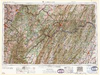 1961 Cumberland1961 Print · USGSThe tri-state highlands of Maryland, West Virginia, and Pennsylvania are shown in the mid-twentieth century as a complex landscape of ridges and river valleys. Researchers can trace the winding Potomac River and find old rail-and-river towns like Cumberland, Keyser, and Morgantown.
 - 1962 Map of Cumberland
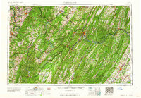 1962 Cumberland1962 Print · USGSThe central Appalachians meet at the height of the mid-century industrial era, showing the rugged topography between Morgantown and Winchester. Genealogists can trace family lands near Fort Necessity or along the vital Baltimore & Ohio RR corridors.
 - 1964 Map of Pittsburgh
 1964 Pittsburgh1964 Print · USGSWestern Pennsylvania in the late fifties and early sixties shows a landscape of powerful river industries and expanding highways. Genealogists and historians can trace the rail corridors of the Pennsylvania RR through industrial hubs like Johnstown, Altoona, and Nanty Glo.
 - 1967 Map of Rainsburg, 1970 Print
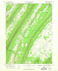 1967 Rainsburg1970 Print · USGSThe ridge-and-valley landscape of Bedford County is captured here in the late sixties, showing a rural society shaped by its mountain gaps. Researchers can locate family landmarks like Cove Ch, the County Home, and the remote settlement of Burning Bush.4 unique versions available
 - 1971 Map of Bedford, 1973 Print
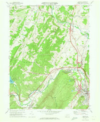 1971 Bedford1973 Print · USGSBedford County during the early seventies is a landscape defined by the Raystown Branch valley and the bustling Pennsylvania Turnpike. Researchers can trace family roots through St Pauls Cem, the Covered Bridge at Napier, and old crossroads like Wolfsburg and Cessna.3 unique versions available
 - 1981 Map of Cumberland, 1982 Print
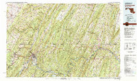 1981 Cumberland1982 Print · USGSThe tri-state region of Maryland, Pennsylvania, and West Virginia is captured here in the early eighties as a landscape of industrial history and ridgeline geography. Researchers can trace the heritage of the C & O Canal and the B & O RR through mountain gaps and coal towns like Eckhart Mines and Frostburg.2 unique versions available
 - 1981 Map of Johnstown, 1983 Print
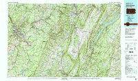 1981 Johnstown1983 Print · USGSSouth Central Pennsylvania is captured here in the early eighties, from the industrial heart of the Conemaugh Valley to the ridges of the Allegheny Front. Local historians can trace the rail corridors of Conrail and the growth of mountain communities like Ebensburg, Nanty Glo, and Windber.
 - 2010 Map of Bedford, 2010 Print
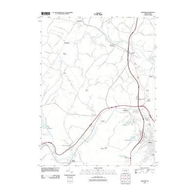 2010 Bedford2010 Print · USGSBedford County's river-carved valleys and historic crossroads are captured here during a period of modern growth. Genealogists and historians can trace family locations near Saint Pauls Cemetery, the Claycomb Covered Bridge, or the small settlements of Wolfsburg and Manns Choice.
 - 2010 Map of Rainsburg, 2010 Print
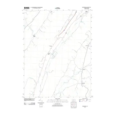 2010 Rainsburg2010 Print · USGSCumberland Valley and its surrounding ridges are mapped here in the early 2000s, showcasing a landscape defined by mineral springs and rural crossroads. Local historians can trace the geography of settlements like Rainsburg and Burning Bush or locate named water sources such as Magnesium Spring and White Sulphur Springs.
 - 2013 Map of Bedford, 2013 Print
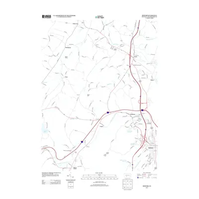 2013 Bedford2013 Print · USGSBedford County during the early twenty-first century maintains a landscape of river-carved valleys and historic timber spans. Genealogists and local historians can locate the Claycomb Covered Bridge, the Kinton Knob Fire Tower, and old settlements like Cessna and Napier.
 - 2013 Map of Rainsburg, 2013 Print
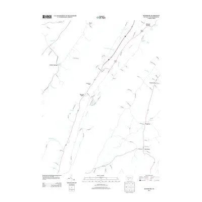 2013 Rainsburg2013 Print · USGSBedford County's mineral spring landscape is well-established in this recent survey of the Rainsburg area. Researchers can trace historic water sources and rural hamlets like Burning Bush, Bedford Springs, and the borough of Rainsburg.
 - 2016 Map of Rainsburg, 2016 Print
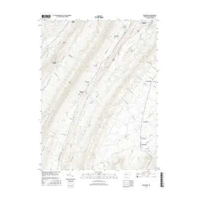 2016 Rainsburg2016 Print · USGSSouthern Bedford County in the mid-2010s reveals a landscape shaped by historical mineral springs and rural valley life. Researchers can locate several burial sites like the Major John Cessna Burial Site and follow the runs of Cumberland Valley between Wills Mtn and Buffalo Mtn.
Showing maps 1-25 of 30
Frequently asked questions
- What are the different types of historical maps available for Manns Choice?
- What is the oldest map of Manns Choice?
- Where can I purchase historical maps of Manns Choice for my home or office?
- Where can I download high-res historical maps of Manns Choice?
- Are there historical topographic maps available for Manns Choice?
- Is there historical aerial imagery available for Manns Choice?
- Where are historical maps of Manns Choice sourced from?