2000s (21st Century) Maps of Snake Spring Township, Pennsylvania
Explore 15 historic maps of Snake Spring Township from the 2000s (21st Century). These maps offer a rare glimpse into what life looked like during the 2000s — showing old roads, neighborhoods, homes, and landmarks that have changed or disappeared over time.
Whether you're researching your family's past, planning a metal detecting trip, or studying how Snake Spring Township's landscape evolved across the 2000s, these high-resolution maps are a powerful tool for exploring the history of this region.
- Focus on a specific era: All maps on this page are from the 2000s, giving you a focused view of this time period.
- See what’s changed: Compare century-old streets, trails, and buildings to today's modern landscape using overlays and satellite layers.
- Research with precision: Use these maps for genealogy, historical research, land use analysis, or educational projects.
- View, download, or print: Maps are fully viewable online in high resolution, and can be downloaded or printed for your own records.
Start exploring Snake Spring Township's history through authentic maps from the 2000s. This is your window into the past.
Snake Spring Township, PA maps
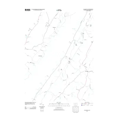
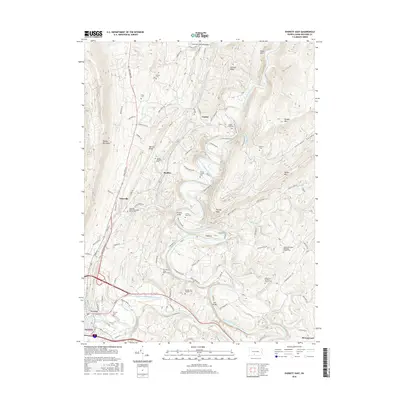
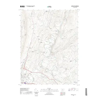
(15)- 2010 Map of Everett East, 2010 Print
 2010 Everett East2010 Print · USGSCovers Snake Spring Township, including Everett, East Providence Township, and other nearby areas
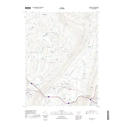
 - 2010 Map of Everett West, 2010 Print
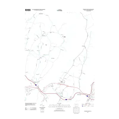
 2010 Everett West2010 Print · USGSCovers Snake Spring Township, including Bedford, Everett, and other nearby areas
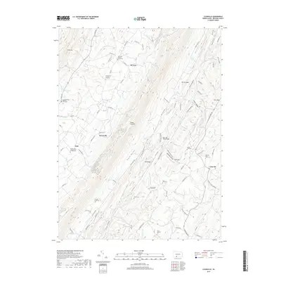
 - 2010 Map of Clearville, 2010 Print
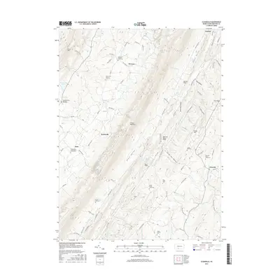
 2010 Clearville2010 Print · USGSCovers Snake Spring Township, including Colerain Township, Bedford Township, and other nearby areas
 - 2013 Map of Everett East, 2013 Print
 2013 Everett East2013 Print · USGSCovers Snake Spring Township, including Everett, East Providence Township, and other nearby areas
 - 2013 Map of Clearville, 2013 Print
 2013 Clearville2013 Print · USGSCovers Snake Spring Township, including Colerain Township, Bedford Township, and other nearby areas
 - 2013 Map of Everett West, 2013 Print
 2013 Everett West2013 Print · USGSCovers Snake Spring Township, including Bedford, Everett, and other nearby areas
 - 2016 Map of Clearville, 2016 Print
 2016 Clearville2016 Print · USGSCovers Snake Spring Township, including Colerain Township, Bedford Township, and other nearby areas
 - 2016 Map of Everett West, 2016 Print
 2016 Everett West2016 Print · USGSCovers Snake Spring Township, including Bedford, Everett, and other nearby areas
 - 2016 Map of Everett East, 2016 Print
 2016 Everett East2016 Print · USGSCovers Snake Spring Township, including Everett, East Providence Township, and other nearby areas
 - 2019 Map of Clearville, 2019 Print
 2019 Clearville2019 Print · USGSCovers Snake Spring Township, including Colerain Township, Bedford Township, and other nearby areas
 - 2019 Map of Everett East, 2019 Print
 2019 Everett East2019 Print · USGSCovers Snake Spring Township, including Everett, East Providence Township, and other nearby areas
 - 2019 Map of Everett West, 2019 Print
 2019 Everett West2019 Print · USGSCovers Snake Spring Township, including Bedford, Everett, and other nearby areas
 - 2023 Map of Clearville, 2023 Print
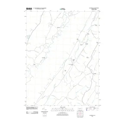
 2023 Clearville2023 Print · USGSBedford County's ridges and valleys are shown here in modern detail, preserving the locations of generations-old farmsteads and rural crossroads. Researchers can trace family history through sites like the Wilson Weimer Family Cem, Cornell Graveyard, and the settlement at Ott Town.
 - 2023 Map of Everett East, 2023 Print
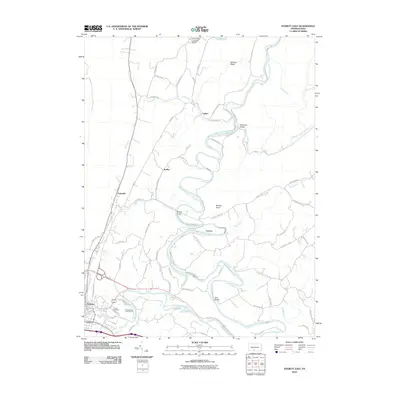
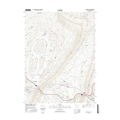
 2023 Everett East2023 Print · USGSBedford County river valleys and mountain ridges are captured in the early 2020s, showing the enduring agricultural and transit corridors of the region. Researchers can trace family history at the Hinish Family Cem and follow the old rail line turned Huntingdon & Broad Top Trl.
 - 2023 Map of Everett West, 2023 Print
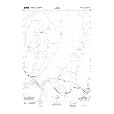
 2023 Everett West2023 Print · USGSThe valleys and ridges of Bedford County come into focus in this contemporary study of the Pennsylvania interior. Genealogists and historians can locate numerous family burial sites and rural landmarks, including the Reighard Farm Cem, Chalybeate Spring, and Lutzville.
End of results
Showing maps 1-15 of 15
Top cities near Snake Spring Township
- Bedford historical maps
- Napier Township historical maps
- Everett historical maps
- King historical maps
- Saxton historical maps
- Pavia Township historical maps
See more
Top neighborhoods of Snake Spring Township
- Foreman historical maps
- Hartley historical maps
- Lutzville historical maps
- Penn Wood historical maps
- Ashcom historical maps
- Mount Dallas historical maps
Frequently asked questions
- What are the different types of historical maps available for Snake Spring Township?
- What is the oldest map of Snake Spring Township?
- Where can I purchase historical maps of Snake Spring Township for my home or office?
- Where can I download high-res historical maps of Snake Spring Township?
- Are there historical topographic maps available for Snake Spring Township?
- Is there historical aerial imagery available for Snake Spring Township?
- Where are historical maps of Snake Spring Township sourced from?