2000s (21st Century) Maps of South Woodbury Township, Pennsylvania
Explore 20 historic maps of South Woodbury Township from the 2000s (21st Century). These maps offer a rare glimpse into what life looked like during the 2000s — showing old roads, neighborhoods, homes, and landmarks that have changed or disappeared over time.
Whether you're researching your family's past, planning a metal detecting trip, or studying how South Woodbury Township's landscape evolved across the 2000s, these high-resolution maps are a powerful tool for exploring the history of this region.
- Focus on a specific era: All maps on this page are from the 2000s, giving you a focused view of this time period.
- See what’s changed: Compare century-old streets, trails, and buildings to today's modern landscape using overlays and satellite layers.
- Research with precision: Use these maps for genealogy, historical research, land use analysis, or educational projects.
- View, download, or print: Maps are fully viewable online in high resolution, and can be downloaded or printed for your own records.
Start exploring South Woodbury Township's history through authentic maps from the 2000s. This is your window into the past.
South Woodbury Township, PA maps
(20)- 2010 Map of Everett East, 2010 Print
 2010 Everett East2010 Print · USGSCovers South Woodbury Township, including Everett, East Providence Township, and other nearby areas
 - 2010 Map of Everett West, 2010 Print
 2010 Everett West2010 Print · USGSCovers South Woodbury Township, including Bedford, Everett, and other nearby areas
 - 2010 Map of New Enterprise, 2010 Print
 2010 New Enterprise2010 Print · USGSCovers South Woodbury Township, including King, Bedford Township, and other nearby areas
 - 2010 Map of Hopewell, 2010 Print
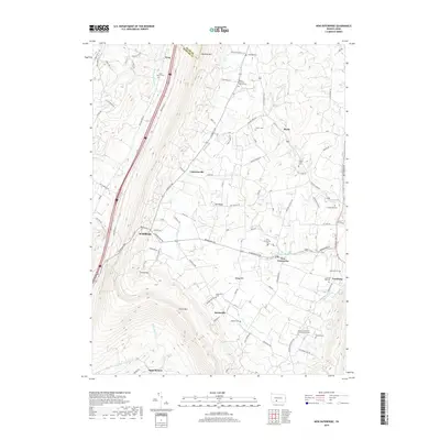
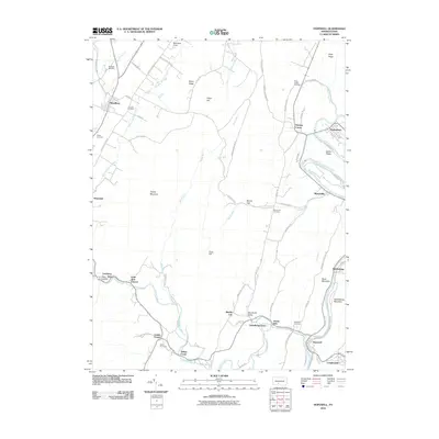 2010 Hopewell2010 Print · USGSCovers South Woodbury Township, including Woodbury, Hopewell, and other nearby areas
 - 2013 Map of Everett East, 2013 Print
 2013 Everett East2013 Print · USGSCovers South Woodbury Township, including Everett, East Providence Township, and other nearby areas
 - 2013 Map of Everett West, 2013 Print
 2013 Everett West2013 Print · USGSCovers South Woodbury Township, including Bedford, Everett, and other nearby areas
 - 2013 Map of New Enterprise, 2013 Print
 2013 New Enterprise2013 Print · USGSCovers South Woodbury Township, including King, Bedford Township, and other nearby areas
 - 2013 Map of Hopewell, 2013 Print
 2013 Hopewell2013 Print · USGSCovers South Woodbury Township, including Woodbury, Hopewell, and other nearby areas
 - 2016 Map of New Enterprise, 2016 Print
 2016 New Enterprise2016 Print · USGSCovers South Woodbury Township, including King, Bedford Township, and other nearby areas
 - 2016 Map of Hopewell, 2016 Print
 2016 Hopewell2016 Print · USGSCovers South Woodbury Township, including Woodbury, Hopewell, and other nearby areas
 - 2016 Map of Everett West, 2016 Print
 2016 Everett West2016 Print · USGSCovers South Woodbury Township, including Bedford, Everett, and other nearby areas
 - 2016 Map of Everett East, 2016 Print
 2016 Everett East2016 Print · USGSCovers South Woodbury Township, including Everett, East Providence Township, and other nearby areas
 - 2019 Map of Hopewell, 2019 Print
 2019 Hopewell2019 Print · USGSCovers South Woodbury Township, including Woodbury, Hopewell, and other nearby areas
 - 2019 Map of New Enterprise, 2019 Print
 2019 New Enterprise2019 Print · USGSCovers South Woodbury Township, including King, Bedford Township, and other nearby areas
 - 2019 Map of Everett East, 2019 Print
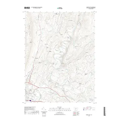 2019 Everett East2019 Print · USGSCovers South Woodbury Township, including Everett, East Providence Township, and other nearby areas
 - 2019 Map of Everett West, 2019 Print
 2019 Everett West2019 Print · USGSCovers South Woodbury Township, including Bedford, Everett, and other nearby areas
 - 2023 Map of New Enterprise, 2023 Print
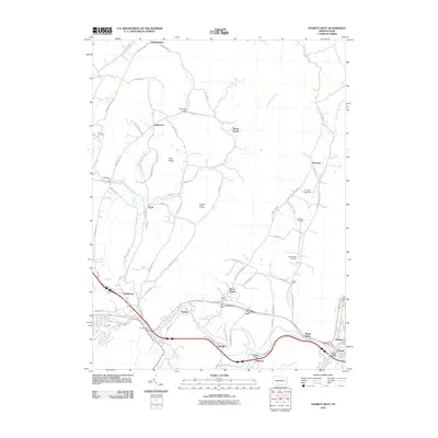
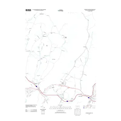
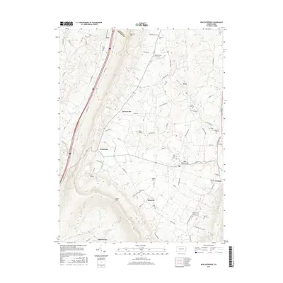
 2023 New Enterprise2023 Print · USGSBedford and Blair counties appear here in the early twenty-first century, showing the enduring agricultural character of Morrisons Cove. Genealogists can trace family footprints across numerous sites like the Rice Family Cem, Salemville, and Loysburg.
 - 2023 Map of Hopewell, 2023 Print
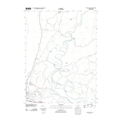
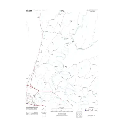
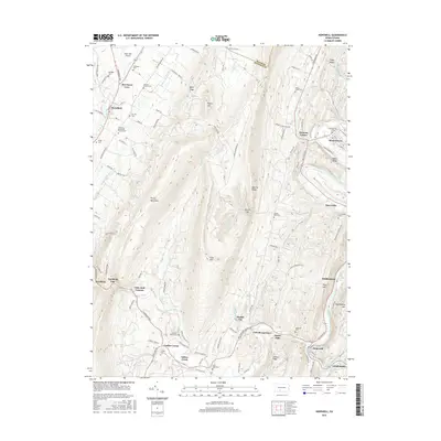
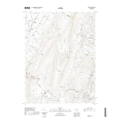
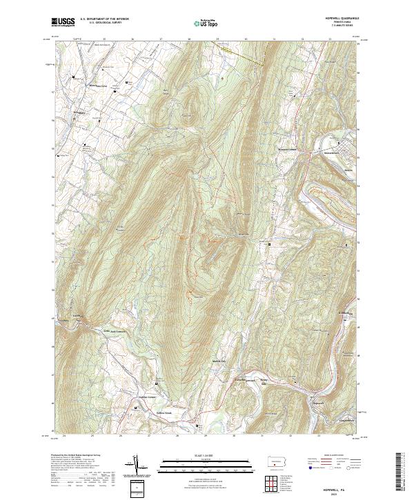 2023 Hopewell2023 Print · USGSThe Raystown Branch Juniata River valley in the early twenty-first century reveals a landscape shaped by the Huntingdon & Broad Top Mountain RR. Genealogists can trace family roots at Bedford Forge Cem, Stonerstown Cem, and the Woodbury Mennonite Church Cem.
 - 2023 Map of Everett East, 2023 Print
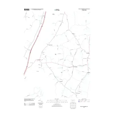
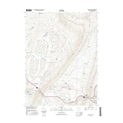
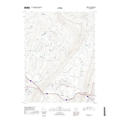
 2023 Everett East2023 Print · USGSBedford County river valleys and mountain ridges are captured in the early 2020s, showing the enduring agricultural and transit corridors of the region. Researchers can trace family history at the Hinish Family Cem and follow the old rail line turned Huntingdon & Broad Top Trl.
 - 2023 Map of Everett West, 2023 Print
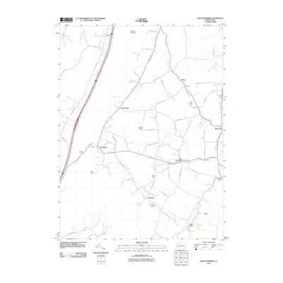
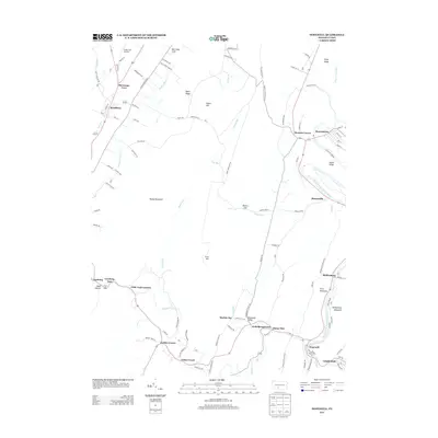
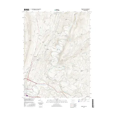
 2023 Everett West2023 Print · USGSThe valleys and ridges of Bedford County come into focus in this contemporary study of the Pennsylvania interior. Genealogists and historians can locate numerous family burial sites and rural landmarks, including the Reighard Farm Cem, Chalybeate Spring, and Lutzville.
End of results
Showing maps 1-20 of 20
Top cities near South Woodbury Township
- Frankstown Township historical maps
- Bedford historical maps
- Roaring Spring historical maps
- Martinsburg historical maps
- Napier Township historical maps
- Everett historical maps
See more
Top neighborhoods of South Woodbury Township
- Brumbaugh historical maps
- Lafayetteville historical maps
- Loysburg historical maps
- New Enterprise historical maps
- Salemville historical maps
- Texas Corner historical maps
See more
Frequently asked questions
- What are the different types of historical maps available for South Woodbury Township?
- What is the oldest map of South Woodbury Township?
- Where can I purchase historical maps of South Woodbury Township for my home or office?
- Where can I download high-res historical maps of South Woodbury Township?
- Are there historical topographic maps available for South Woodbury Township?
- Is there historical aerial imagery available for South Woodbury Township?
- Where are historical maps of South Woodbury Township sourced from?