2000s (21st Century) Maps of Lower Heidelberg Township, Pennsylvania
Explore 15 historic maps of Lower Heidelberg Township from the 2000s (21st Century). These maps offer a rare glimpse into what life looked like during the 2000s — showing old roads, neighborhoods, homes, and landmarks that have changed or disappeared over time.
Whether you're researching your family's past, planning a metal detecting trip, or studying how Lower Heidelberg Township's landscape evolved across the 2000s, these high-resolution maps are a powerful tool for exploring the history of this region.
- Focus on a specific era: All maps on this page are from the 2000s, giving you a focused view of this time period.
- See what’s changed: Compare century-old streets, trails, and buildings to today's modern landscape using overlays and satellite layers.
- Research with precision: Use these maps for genealogy, historical research, land use analysis, or educational projects.
- View, download, or print: Maps are fully viewable online in high resolution, and can be downloaded or printed for your own records.
Start exploring Lower Heidelberg Township's history through authentic maps from the 2000s. This is your window into the past.
Lower Heidelberg Township, PA maps
(15)- 2010 Map of Bernville, 2010 Print
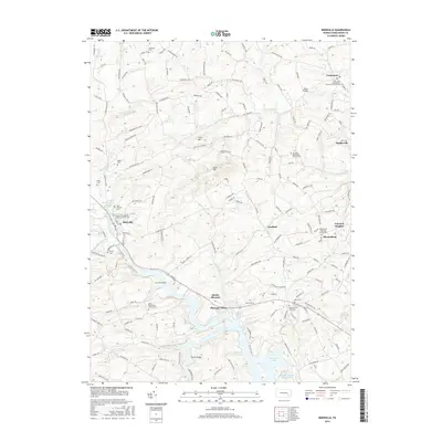
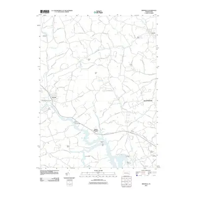 2010 Bernville2010 Print · USGSCovers Lower Heidelberg Township, including North Heidelberg Township, Bernville, and other nearby areas
 - 2010 Map of Reading, 2010 Print
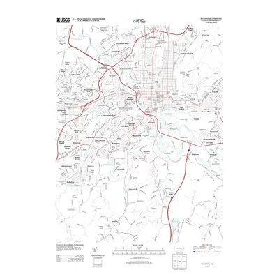
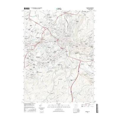
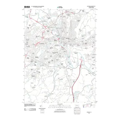 2010 Reading2010 Print · USGSCovers Lower Heidelberg Township, including Reading, Wyomissing, and other nearby areas
 - 2010 Map of Sinking Spring, 2010 Print
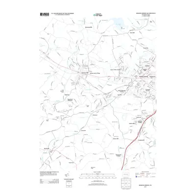
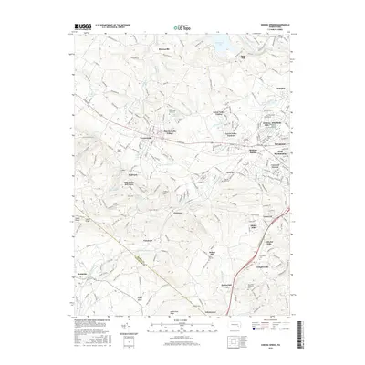
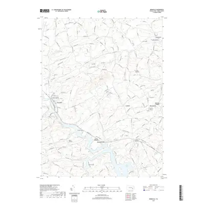
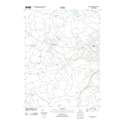 2010 Sinking Spring2010 Print · USGSCovers Lower Heidelberg Township, including Sinking Spring, Wernersville, and other nearby areas
 - 2013 Map of Bernville, 2013 Print
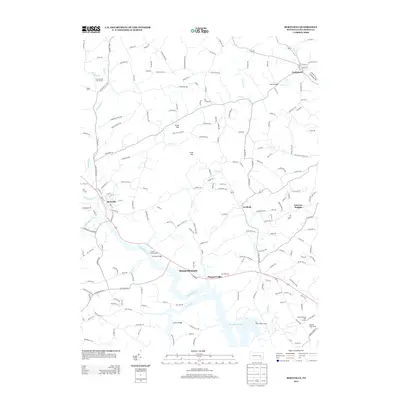 2013 Bernville2013 Print · USGSCovers Lower Heidelberg Township, including North Heidelberg Township, Bernville, and other nearby areas
 - 2013 Map of Reading, 2013 Print
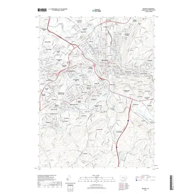
 2013 Reading2013 Print · USGSCovers Lower Heidelberg Township, including Reading, Wyomissing, and other nearby areas
 - 2013 Map of Sinking Spring, 2013 Print
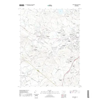
 2013 Sinking Spring2013 Print · USGSCovers Lower Heidelberg Township, including Sinking Spring, Wernersville, and other nearby areas
 - 2016 Map of Bernville, 2016 Print
 2016 Bernville2016 Print · USGSCovers Lower Heidelberg Township, including North Heidelberg Township, Bernville, and other nearby areas
 - 2016 Map of Sinking Spring, 2016 Print
 2016 Sinking Spring2016 Print · USGSCovers Lower Heidelberg Township, including Sinking Spring, Wernersville, and other nearby areas
 - 2016 Map of Reading, 2016 Print
 2016 Reading2016 Print · USGSCovers Lower Heidelberg Township, including Reading, Wyomissing, and other nearby areas
 - 2019 Map of Bernville, 2019 Print
 2019 Bernville2019 Print · USGSCovers Lower Heidelberg Township, including North Heidelberg Township, Bernville, and other nearby areas
 - 2019 Map of Reading, 2019 Print
 2019 Reading2019 Print · USGSCovers Lower Heidelberg Township, including Reading, Wyomissing, and other nearby areas
 - 2019 Map of Sinking Spring, 2019 Print
 2019 Sinking Spring2019 Print · USGSCovers Lower Heidelberg Township, including Sinking Spring, Wernersville, and other nearby areas
 - 2023 Map of Reading, 2023 Print
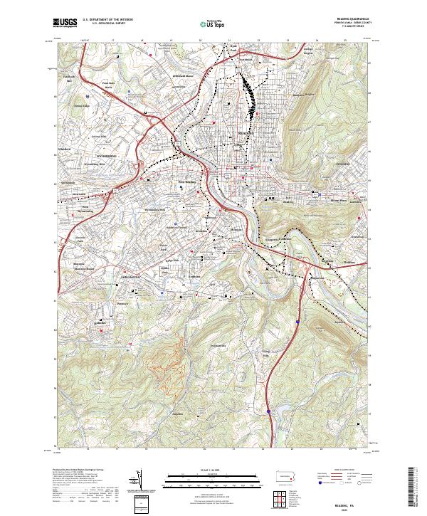 2023 Reading2023 Print · USGSGreater Reading and the Schuylkill River valley are shown in the 2020s, revealing a dense landscape of industry, academia, and local history. Genealogists can trace deep local roots at sites like the Charles Evans Cem, Mohnsville Cem, and Fitterling School Graveyard.
 - 2023 Map of Sinking Spring, 2023 Print
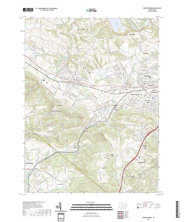 2023 Sinking Spring2023 Print · USGSBerks County and the Lancaster County border are captured here in the early twenty-first century. Researchers can trace local heritage through numerous sites like Saint John's Hains Cem, Villa Maria Infirmary, and Fritztown.
 - 2023 Map of Bernville, 2023 Print
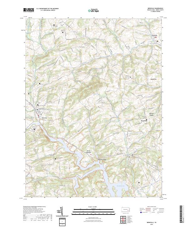 2023 Bernville2023 Print · USGSBerks County's rural landscape is captured here in the contemporary era, centered on the historic borough of Bernville and the waters of Blue Marsh Lake. Genealogists can locate numerous family and parish sites, including the Zimmerman Family Cem and Saint Johns Community Cem.
End of results
Showing maps 1-15 of 15
Top cities near Lower Heidelberg Township
- Reading historical maps
- Muhlenberg Park historical maps
- Ephrata historical maps
- Wyomissing historical maps
- East Earl Township historical maps
- Clay Township historical maps
See more
Top neighborhoods of Lower Heidelberg Township
- Cacoosing historical maps
- Brownsville historical maps
- State Hill historical maps
- Van Reeds Mill historical maps
Frequently asked questions
- What are the different types of historical maps available for Lower Heidelberg Township?
- What is the oldest map of Lower Heidelberg Township?
- Where can I purchase historical maps of Lower Heidelberg Township for my home or office?
- Where can I download high-res historical maps of Lower Heidelberg Township?
- Are there historical topographic maps available for Lower Heidelberg Township?
- Is there historical aerial imagery available for Lower Heidelberg Township?
- Where are historical maps of Lower Heidelberg Township sourced from?