Old Maps of Cacoosing, Lower Heidelberg Township for Genealogy
Trace your family roots with 12 historic maps of Cacoosing. These high-res maps reveal old neighborhoods, homesites, landmarks, and streets — helping you uncover where your ancestors lived and how the area evolved over time.
- Explore historic neighborhoods: Identify where your relatives may have lived in the 1800s or 1900s.
- Compare maps over time: Trace the changes in streets, buildings, and landmarks for multi-generational research.
- Perfect for genealogy & ancestry research: Used by family historians and researchers to map out lineage and migration.
These maps are an incredible resource for exploring your personal connection to Cacoosing's past.
Cacoosing, Lower Heidelberg Township maps
(12)- 1902 Map of Wernersville
 1902 Wernersville1902 Print · USGSCovers Cacoosing, including Clay Township, Bethel Township, and other nearby areas8 unique versions available
 - 1943 Map of Wernersville
 1943 Wernersville1943 Print · USGSCovers Cacoosing, including Clay Township, Bethel Township, and other nearby areas2 unique versions available
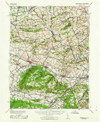
 - 1950 Map of Harrisburg, 1952 Print
 1950 Harrisburg1952 Print · USGSCovers Cacoosing, including Lancaster, Harrisburg, and other nearby areas
 - 1953 Map of Wernersville
 1953 Wernersville1953 Print · USGSCovers Cacoosing, including Clay Township, Bethel Township, and other nearby areas
 - 1955 Map of Sinking Spring, 1956 Print
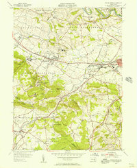 1955 Sinking Spring1956 Print · USGSCovers Cacoosing, including Sinking Spring, Wernersville, and other nearby areas6 unique versions available
 - 1957 Map of Harrisburg
 1957 Harrisburg1957 Print · USGSCovers Cacoosing, including Lancaster, Harrisburg, and other nearby areas7 unique versions available
 - 1961 Map of Harrisburg
 1961 Harrisburg1961 Print · USGSCovers Cacoosing, including Lancaster, Harrisburg, and other nearby areas2 unique versions available
 - 1963 Map of Wernersville
 1963 Wernersville1963 Print · USGSCovers Cacoosing, including Clay Township, Bethel Township, and other nearby areas
 - 1964 Map of Harrisburg
 1964 Harrisburg1964 Print · USGSCovers Cacoosing, including Lancaster, Harrisburg, and other nearby areas
 - 1984 Map of Harrisburg, 1985 Print
 1984 Harrisburg1985 Print · USGSCovers Cacoosing, including Lancaster, Harrisburg, and other nearby areas2 unique versions available
 - 1999 Map of Sinking Spring, 2001 Print
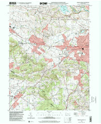 1999 Sinking Spring2001 Print · USGSCovers Cacoosing, including Sinking Spring, Wernersville, and other nearby areas
 - 2023 Map of Sinking Spring, 2023 Print
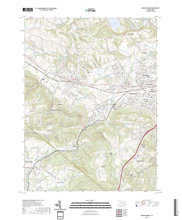 2023 Sinking Spring2023 Print · USGSCovers Cacoosing, including Sinking Spring, Wernersville, and other nearby areas
End of results
Showing maps 1-12 of 12
Top cities near Cacoosing
- Reading historical maps
- Muhlenberg Park historical maps
- Ephrata historical maps
- Wyomissing historical maps
- Maxatawny Township historical maps
- East Earl Township historical maps
See more
Frequently asked questions
- What are the different types of historical maps available for Cacoosing?
- What is the oldest map of Cacoosing?
- Where can I purchase historical maps of Cacoosing for my home or office?
- Where can I download high-res historical maps of Cacoosing?
- Are there historical topographic maps available for Cacoosing?
- Is there historical aerial imagery available for Cacoosing?
- Where are historical maps of Cacoosing sourced from?