2000s (21st Century) Maps of Ruscombmanor Township, Pennsylvania
Explore 10 historic maps of Ruscombmanor Township from the 2000s (21st Century). These maps offer a rare glimpse into what life looked like during the 2000s — showing old roads, neighborhoods, homes, and landmarks that have changed or disappeared over time.
Whether you're researching your family's past, planning a metal detecting trip, or studying how Ruscombmanor Township's landscape evolved across the 2000s, these high-resolution maps are a powerful tool for exploring the history of this region.
- Focus on a specific era: All maps on this page are from the 2000s, giving you a focused view of this time period.
- See what’s changed: Compare century-old streets, trails, and buildings to today's modern landscape using overlays and satellite layers.
- Research with precision: Use these maps for genealogy, historical research, land use analysis, or educational projects.
- View, download, or print: Maps are fully viewable online in high resolution, and can be downloaded or printed for your own records.
Start exploring Ruscombmanor Township's history through authentic maps from the 2000s. This is your window into the past.
Ruscombmanor Township, PA maps
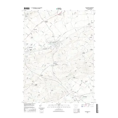
(10)- 2010 Map of Fleetwood, 2010 Print
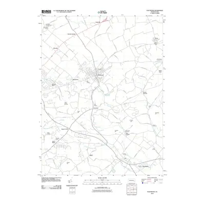 2010 Fleetwood2010 Print · USGSCovers Ruscombmanor Township, including Maxatawny Township, Fleetwood, and other nearby areas
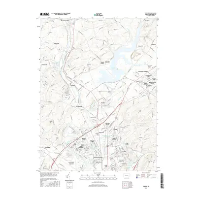
 - 2010 Map of Temple, 2010 Print
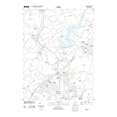 2010 Temple2010 Print · USGSCovers Ruscombmanor Township, including Muhlenberg Park, Laureldale, and other nearby areas
 - 2013 Map of Fleetwood, 2013 Print
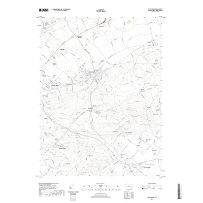
 2013 Fleetwood2013 Print · USGSCovers Ruscombmanor Township, including Maxatawny Township, Fleetwood, and other nearby areas
 - 2013 Map of Temple, 2013 Print
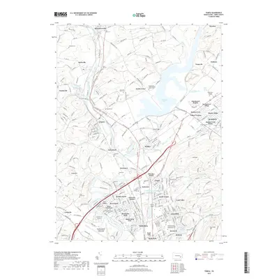
 2013 Temple2013 Print · USGSCovers Ruscombmanor Township, including Muhlenberg Park, Laureldale, and other nearby areas
 - 2016 Map of Fleetwood, 2016 Print
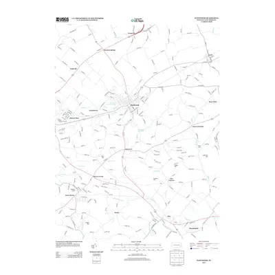
 2016 Fleetwood2016 Print · USGSCovers Ruscombmanor Township, including Maxatawny Township, Fleetwood, and other nearby areas
 - 2016 Map of Temple, 2016 Print
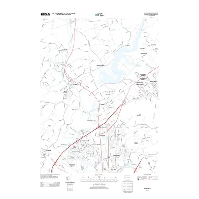
 2016 Temple2016 Print · USGSCovers Ruscombmanor Township, including Muhlenberg Park, Laureldale, and other nearby areas
 - 2019 Map of Temple, 2019 Print
 2019 Temple2019 Print · USGSCovers Ruscombmanor Township, including Muhlenberg Park, Laureldale, and other nearby areas
 - 2019 Map of Fleetwood, 2019 Print
 2019 Fleetwood2019 Print · USGSCovers Ruscombmanor Township, including Maxatawny Township, Fleetwood, and other nearby areas
 - 2023 Map of Fleetwood, 2023 Print
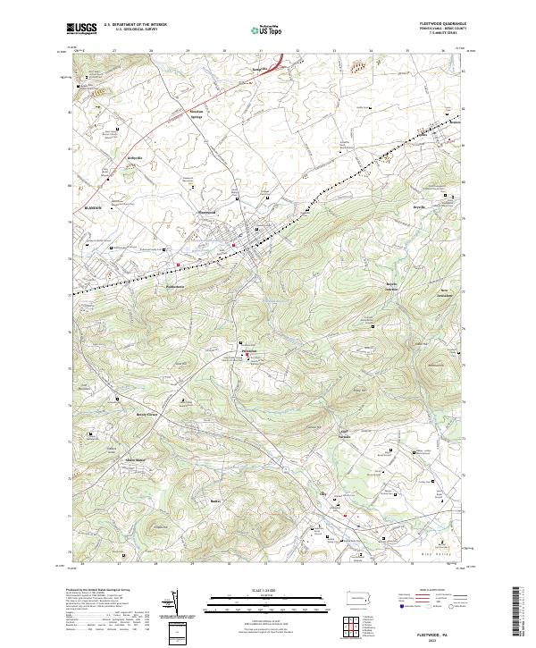 2023 Fleetwood2023 Print · USGSBerks County's agricultural heartland and iron heritage are on full display in this modern survey of the Fleetwood area. Researchers can locate dozens of ancestral sites, including the Bieber - Lesher Burial Ground, Oley Furnace, and the Pricetown Church of the Brethren Cem.
 - 2023 Map of Temple, 2023 Print
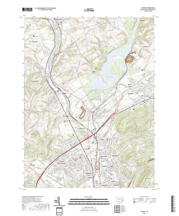 2023 Temple2023 Print · USGSBerks County life centers on the waters of the Schuylkill River and Ontelaunee Lake in this contemporary record. Genealogists and researchers can trace local roots through the Maidencreek Friends Meeting Burial Ground and settlements like Shoemakersville.
End of results
Showing maps 1-10 of 10
Top cities near Ruscombmanor Township
- Reading historical maps
- Pottstown historical maps
- Muhlenberg Park historical maps
- Wyomissing historical maps
- New Hanover Township historical maps
- Maxatawny Township historical maps
See more
Top neighborhoods of Ruscombmanor Township
Frequently asked questions
- What are the different types of historical maps available for Ruscombmanor Township?
- What is the oldest map of Ruscombmanor Township?
- Where can I purchase historical maps of Ruscombmanor Township for my home or office?
- Where can I download high-res historical maps of Ruscombmanor Township?
- Are there historical topographic maps available for Ruscombmanor Township?
- Is there historical aerial imagery available for Ruscombmanor Township?
- Where are historical maps of Ruscombmanor Township sourced from?