2000s (21st Century) Maps of Juniata Township, Pennsylvania
Explore 20 historic maps of Juniata Township from the 2000s (21st Century). These maps offer a rare glimpse into what life looked like during the 2000s — showing old roads, neighborhoods, homes, and landmarks that have changed or disappeared over time.
Whether you're researching your family's past, planning a metal detecting trip, or studying how Juniata Township's landscape evolved across the 2000s, these high-resolution maps are a powerful tool for exploring the history of this region.
- Focus on a specific era: All maps on this page are from the 2000s, giving you a focused view of this time period.
- See what’s changed: Compare century-old streets, trails, and buildings to today's modern landscape using overlays and satellite layers.
- Research with precision: Use these maps for genealogy, historical research, land use analysis, or educational projects.
- View, download, or print: Maps are fully viewable online in high resolution, and can be downloaded or printed for your own records.
Start exploring Juniata Township's history through authentic maps from the 2000s. This is your window into the past.
Juniata Township, PA maps
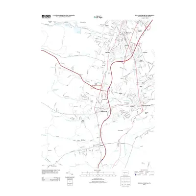
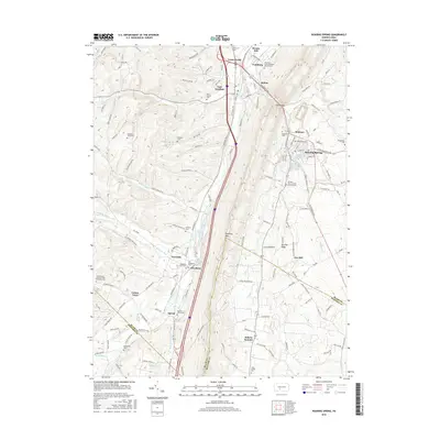
(20)- 2010 Map of Roaring Spring, 2010 Print
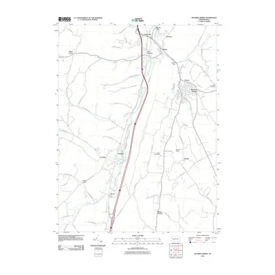 2010 Roaring Spring2010 Print · USGSCovers Juniata Township, including Roaring Spring, Rodman, and other nearby areas
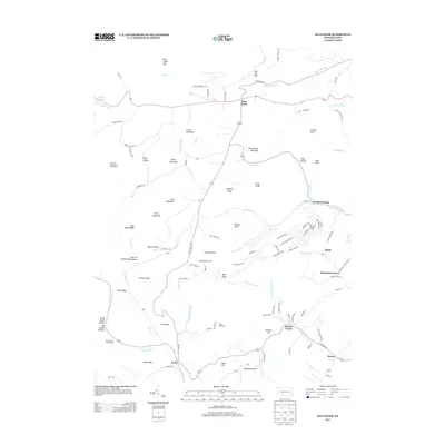
 - 2010 Map of Blue Knob, 2010 Print
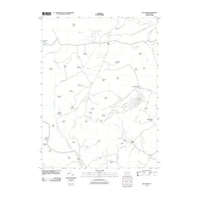 2010 Blue Knob2010 Print · USGSCovers Juniata Township, including Pavia Township, Washington Township, and other nearby areas
 - 2010 Map of Hollidaysburg, 2010 Print
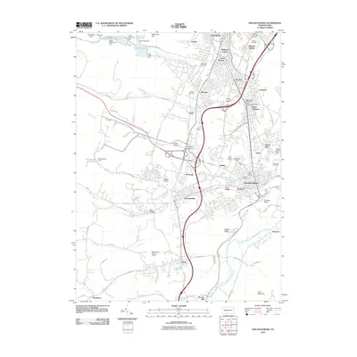 2010 Hollidaysburg2010 Print · USGSCovers Juniata Township, including Altoona, Frankstown Township, and other nearby areas
 - 2010 Map of Cresson, 2010 Print
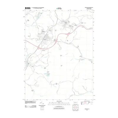 2010 Cresson2010 Print · USGSCovers Juniata Township, including Gallitzin, Cresson, and other nearby areas
 - 2013 Map of Hollidaysburg, 2013 Print
 2013 Hollidaysburg2013 Print · USGSCovers Juniata Township, including Altoona, Frankstown Township, and other nearby areas
 - 2013 Map of Blue Knob, 2013 Print
 2013 Blue Knob2013 Print · USGSCovers Juniata Township, including Pavia Township, Washington Township, and other nearby areas
 - 2013 Map of Roaring Spring, 2013 Print
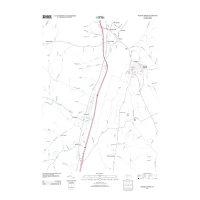 2013 Roaring Spring2013 Print · USGSCovers Juniata Township, including Roaring Spring, Rodman, and other nearby areas
 - 2013 Map of Cresson, 2013 Print
 2013 Cresson2013 Print · USGSCovers Juniata Township, including Gallitzin, Cresson, and other nearby areas
 - 2016 Map of Cresson, 2016 Print
 2016 Cresson2016 Print · USGSCovers Juniata Township, including Gallitzin, Cresson, and other nearby areas
 - 2016 Map of Blue Knob, 2016 Print
 2016 Blue Knob2016 Print · USGSCovers Juniata Township, including Pavia Township, Washington Township, and other nearby areas
 - 2016 Map of Roaring Spring, 2016 Print
 2016 Roaring Spring2016 Print · USGSCovers Juniata Township, including Roaring Spring, Rodman, and other nearby areas
 - 2016 Map of Hollidaysburg, 2016 Print
 2016 Hollidaysburg2016 Print · USGSCovers Juniata Township, including Altoona, Frankstown Township, and other nearby areas
 - 2019 Map of Hollidaysburg, 2019 Print
 2019 Hollidaysburg2019 Print · USGSCovers Juniata Township, including Altoona, Frankstown Township, and other nearby areas
 - 2019 Map of Roaring Spring, 2019 Print
 2019 Roaring Spring2019 Print · USGSCovers Juniata Township, including Roaring Spring, Rodman, and other nearby areas
 - 2019 Map of Blue Knob, 2019 Print
 2019 Blue Knob2019 Print · USGSCovers Juniata Township, including Pavia Township, Washington Township, and other nearby areas
 - 2019 Map of Cresson, 2019 Print
 2019 Cresson2019 Print · USGSCovers Juniata Township, including Gallitzin, Cresson, and other nearby areas
 - 2023 Map of Blue Knob, 2023 Print
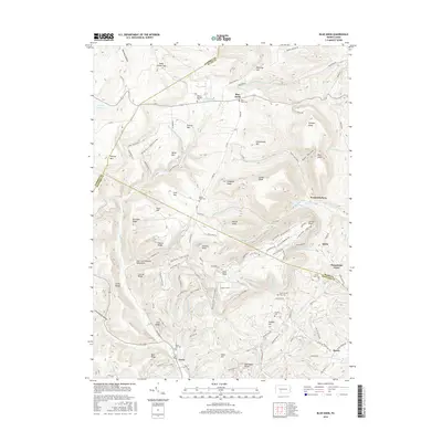
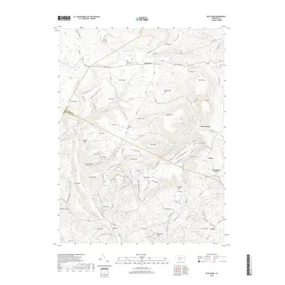
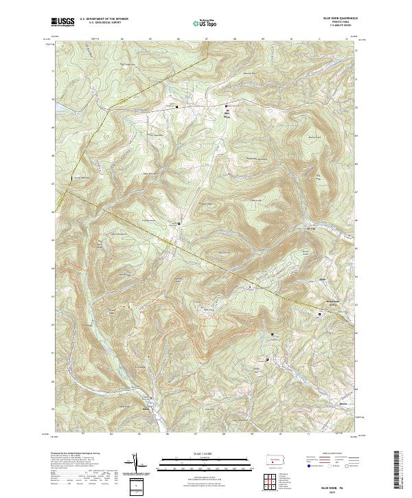 2023 Blue Knob2023 Print · USGSThe intersection of Blair, Bedford, and Cambria counties is shown here in the 2020s, dominated by the peaks and state park trails surrounding Blue Knob. Genealogists and hikers can trace the geography of old settlements like Pavia and find family-named sites such as Stiefler Cem and Musselman Grove.
 - 2023 Map of Cresson, 2023 Print
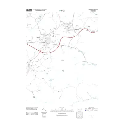
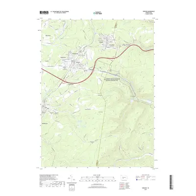
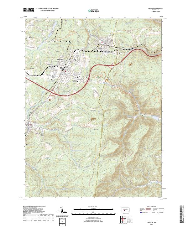 2023 Cresson2023 Print · USGSThe high Allegheny plateau and its steep eastern descent are captured here in the early twenty-first century, showing the enduring footprints of coal and rail. Genealogists can locate several historic burial grounds like Union Cem and Saint Patricks Cem near the borough of Gallitzin.
 - 2023 Map of Hollidaysburg, 2023 Print
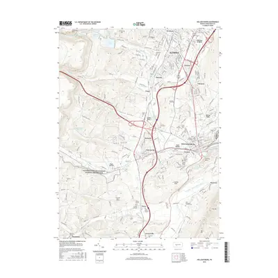
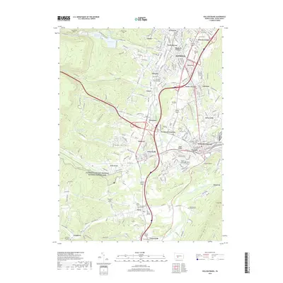
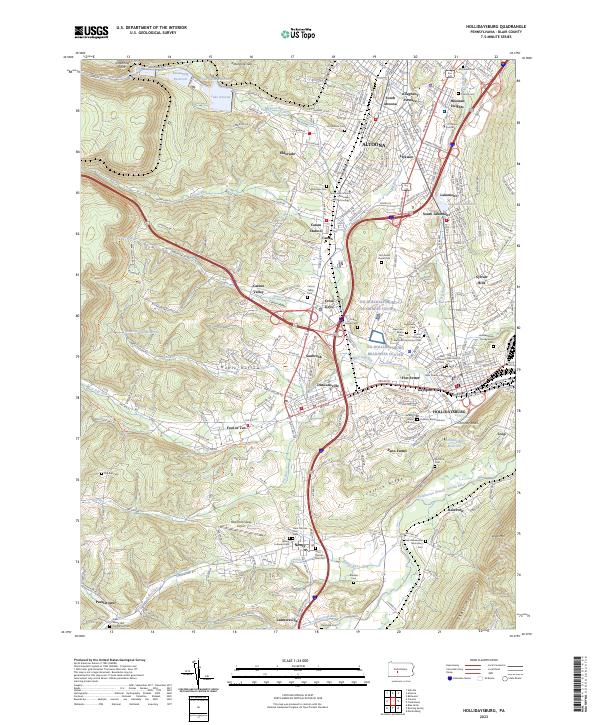 2023 Hollidaysburg2023 Print · USGSThe Hollidaysburg and South Altoona area is captured in the early 2020s, showing its mountain-valley development. Researchers can trace local heritage through sites like the Blair County Courthouse, Fort Fetter, and Saint Patricks Ch.
 - 2023 Map of Roaring Spring, 2023 Print
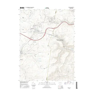
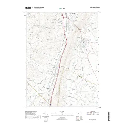
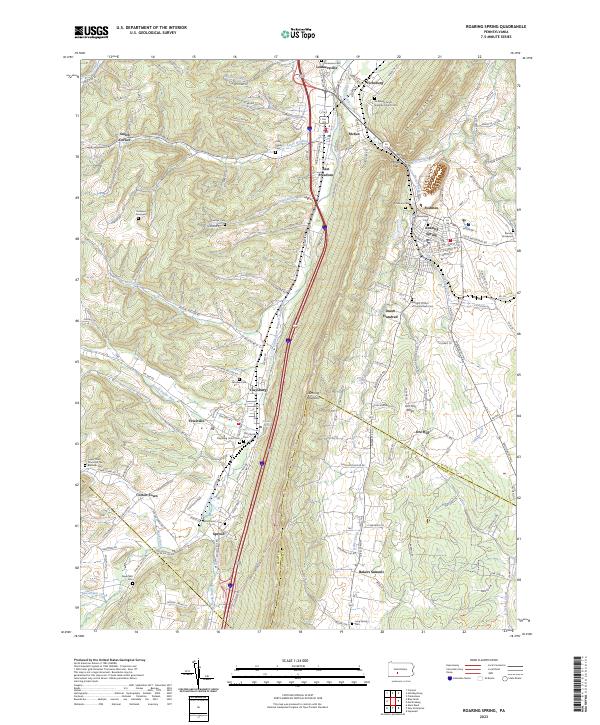 2023 Roaring Spring2023 Print · USGSThe northern reaches of the Morrisons Cove region are captured here in the early twenty-first century, showing the enduring rail and road corridors of Blair County. Family historians can locate numerous small burial grounds and rural landmarks like Dodsons Graveyard, the Everett RR, and Ore Hill School.
End of results
Showing maps 1-20 of 20
Top cities near Juniata Township
- Altoona historical maps
- Frankstown Township historical maps
- Hollidaysburg historical maps
- Ebensburg historical maps
- Portage historical maps
- Roaring Spring historical maps
See more
Top neighborhoods of Juniata Township
Frequently asked questions
- What are the different types of historical maps available for Juniata Township?
- What is the oldest map of Juniata Township?
- Where can I purchase historical maps of Juniata Township for my home or office?
- Where can I download high-res historical maps of Juniata Township?
- Are there historical topographic maps available for Juniata Township?
- Is there historical aerial imagery available for Juniata Township?
- Where are historical maps of Juniata Township sourced from?