Old Maps of Armenia Township, Pennsylvania
Explore 36 old maps of Armenia Township, spanning from 1931 to today. These high-resolution historic maps reveal how streets, neighborhoods, landmarks, and natural features evolved over time — perfect for genealogy, metal detecting, research, and local history exploration.
What you can do with these maps:
- See how Armenia Township changed over time: Compare historical maps to modern-day views to trace roads, homesites, rail lines & more.
- View detailed metadata: Each map includes creators, publishers, year, scale, and archive source.
- Overlay maps with satellite & LiDAR: Visualize the past alongside modern tools to explore terrain & human change.
- Trusted historical sources: Maps sourced from the USGS, Library of Congress, and other archives.
- Access maps your way: View online, download high-res files, or order prints for personal or research use.
Start exploring old maps of Armenia Township to uncover forgotten places, hidden landmarks, and the deep history beneath your feet.
Armenia Township, PA maps
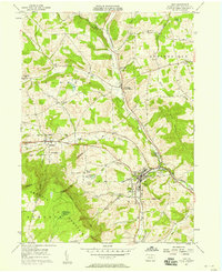
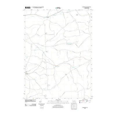
(36)- 1931 Map of Troy
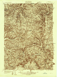 1931 Troy1931 Print · USGSBradford County’s northern valleys and high ridges appear here in the early 1930s, showing a landscape of small hamlets and cross-country rail lines. Genealogists can locate family landmarks such as Besley Cem, Mitchells Mill, and early schools like Doty Hill Sch.2 unique versions available
 - 1938 Map of Troy
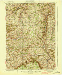 1938 Troy1938 Print · USGSNorthern Bradford and Tioga Counties are captured here in the late 1930s, showing a landscape of upland farms and railroad hamlets. Genealogists can trace family footprints at Roseville Rutland PO, the Armenia Ch, or the Besley Cem.3 unique versions available
 - 1942 Map of Canton, 1958 Print
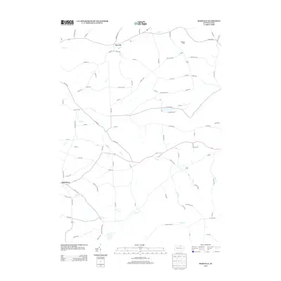
 1942 Canton1958 Print · USGSCanton and the surrounding Bradford County highlands are shown here in the early 1940s as a landscape of small valley towns and mountain schools. Genealogists and historians can trace old homesteads and local landmarks like Minnequa, Cowley Sta, and Ward Sch.2 unique versions available
 - 1944 Map of Canton
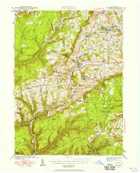
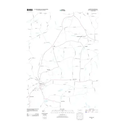
 1944 Canton1944 Print · USGSNorth-central Pennsylvania’s rugged creek valleys and rail corridors are captured here just as the mountain economies were shifting in the early 1940s. Genealogists can trace family footprints at Spencertown and Dogtown, or locate rural landmarks like the Joe Hill Sch and Maple Summit Ch.3 unique versions available
 - 1953 Map of Roseville, 1954 Print
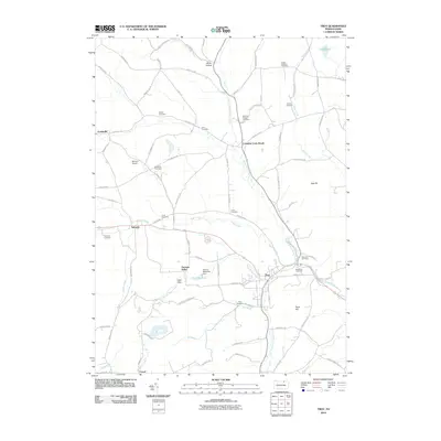
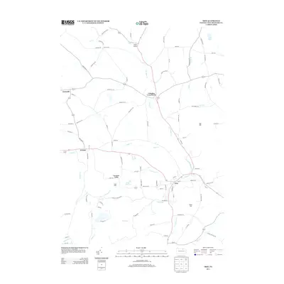
 1953 Roseville1954 Print · USGSTioga and Bradford counties are captured here in the early 1950s, showing a landscape defined by upland farms and quiet crossroads. Researchers can trace ancestral roots at State Road Ch, find early settlements like Austinville, or follow the path of the Roosevelt Highway.2 unique versions available
 - 1954 Map of Williamsport
 1954 Williamsport1954 Print · USGSNorth-central Pennsylvania in the mid-fifties is defined by the winding West Branch Susquehanna River and its industrial valley. Local historians can trace the massive Susquehanna Ordnance Depot and the extensive rail networks of the Pennsylvania Railroad.
 - 1957 Map of Troy, 1958 Print
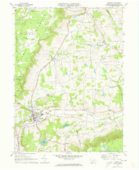
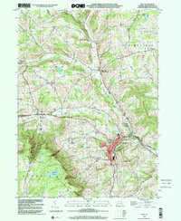
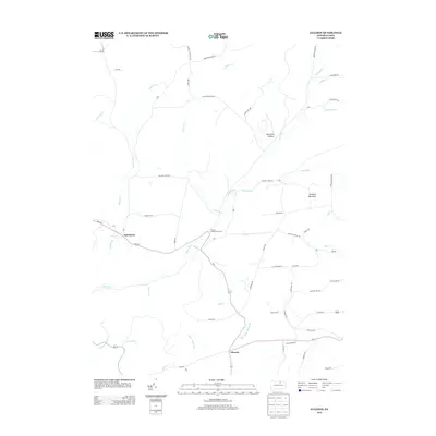
 1957 Troy1958 Print · USGSBradford County dairy and rail commerce center on the town of Troy during the mid-fifties. Genealogists can trace family names through numerous rural burial grounds like Sylvania Cem and Hunt Cem, or locate landmarks such as the Lloyd Sch and Austinville.2 unique versions available
 - 1960 Map of Williamsport
 1960 Williamsport1960 Print · USGSNorth-central Pennsylvania in the mid-twentieth century was a vital corridor of rail and river industry stretching from the New York line to the coal regions. Genealogists can trace the rail networks of the Pennsylvania RR and Lehigh Valley RR connecting towns like Williamsport, Towanda, and Lock Haven.
 - 1962 Map of Williamsport, 1966 Print
 1962 Williamsport1966 Print · USGSNorth-central Pennsylvania was a landscape of industrial river hubs and vast state woodlands in the early sixties. Researchers can trace the path of the Pennsylvania Railroad through Williamsport and explore the remote reaches of Bucktail State Park.5 unique versions available
 - 1965 Map of Williamsport
 1965 Williamsport1965 Print · USGSNorth-central Pennsylvania in the mid-1960s is defined by the industrial river towns and vast timberlands of the Allegheny Plateau. Researchers can trace historic rail lines like the Erie Lackawanna and Reading as they thread through Williamsport, Lock Haven, and Jersey Shore.
 - 1966 Map of Williamsport
 1966 Williamsport1966 Print · USGSThe Susquehanna Valley was a hub of transit and industry in the mid-seventies, where the river's West Branch connected major college towns and timberlands. Researchers can trace historical rail lines like the Reading or locate regional landmarks from Jersey Shore to Ricketts Glen State Park.
 - 1970 Map of Gleason, 1972 Print
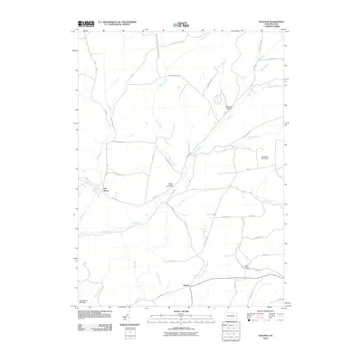
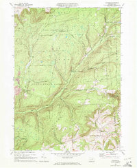 1970 Gleason1972 Print · USGSThe northern Pennsylvania highlands near the Tioga and Bradford County line are captured here in the early 1970s. Local researchers can trace family landmarks like Gleason and Allen, or locate the North Union Cem and the nearby North Union Ch.4 unique versions available
 - 1970 Map of Canton, 1973 Print
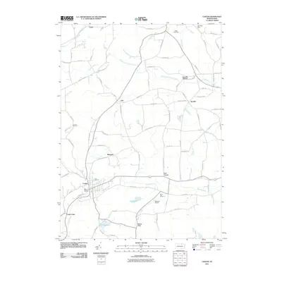
 1970 Canton1973 Print · USGSBradford County’s rugged valley and rail corridor are captured here during the early seventies. Genealogists and local historians can trace the foundations of Canton and Granville Summit, or locate family sites like St Michaels Cem and the Beech Flats settlement.2 unique versions available
 - 1981 Map of Towanda, 1982 Print
 1981 Towanda1982 Print · USGSThe Susquehanna Valley at the turn of the 1980s reveals a region of mountain forests and busy river towns along the New York border. Researchers can trace the legacy of the CONRAIL lines through Sayre or locate remote landmarks like Armenia Mountain and Mt Pisgah State Park.
 - 1983 Map of Troy, 1991 Print
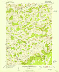
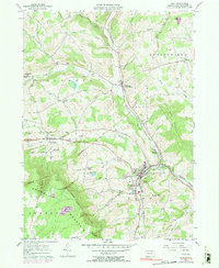 1983 Troy1991 Print · USGSTroy and the surrounding Bradford County uplands are documented here in the early 1980s. Researchers can trace the Penn Central rail line and locate numerous family-named burial sites like Chase-Newbury Cem and Glenwood Cem.
 - 1999 Map of Troy, 2001 Print
 1999 Troy2001 Print · USGSBradford County at the turn of the millennium reveals a landscape of valley settlements and upland reaches. Genealogists and historians can trace family burial sites like Grover-Hill Cem and old school locations such as Lloyd Sch near Troy.
 - 2010 Map of Gleason, 2010 Print
 2010 Gleason2010 Print · USGSCovers Armenia Township, including Sullivan Township, Ward Township, and other nearby areas
 - 2010 Map of Canton, 2010 Print
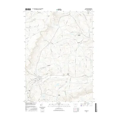
 2010 Canton2010 Print · USGSCovers Armenia Township, including Canton, Leroy Township, and other nearby areas
 - 2010 Map of Troy, 2010 Print
 2010 Troy2010 Print · USGSCovers Armenia Township, including Troy, Springfield Township, and other nearby areas
 - 2010 Map of Roseville, 2010 Print
 2010 Roseville2010 Print · USGSCovers Armenia Township, including Roseville, Sylvania, and other nearby areas
 - 2013 Map of Canton, 2013 Print
 2013 Canton2013 Print · USGSCovers Armenia Township, including Canton, Leroy Township, and other nearby areas
 - 2013 Map of Roseville, 2013 Print
 2013 Roseville2013 Print · USGSCovers Armenia Township, including Roseville, Sylvania, and other nearby areas
 - 2013 Map of Troy, 2013 Print
 2013 Troy2013 Print · USGSCovers Armenia Township, including Troy, Springfield Township, and other nearby areas
 - 2013 Map of Gleason, 2013 Print
 2013 Gleason2013 Print · USGSCovers Armenia Township, including Sullivan Township, Ward Township, and other nearby areas
 - 2016 Map of Canton, 2016 Print
 2016 Canton2016 Print · USGSCovers Armenia Township, including Canton, Leroy Township, and other nearby areas
Showing maps 1-25 of 36
Top cities near Armenia Township
- Mansfield historical maps
- Canton historical maps
- Troy historical maps
- Blossburg historical maps
- Springfield Township historical maps
- Covington historical maps
See more
Top neighborhoods of Armenia Township
Frequently asked questions
- What are the different types of historical maps available for Armenia Township?
- What is the oldest map of Armenia Township?
- Where can I purchase historical maps of Armenia Township for my home or office?
- Where can I download high-res historical maps of Armenia Township?
- Are there historical topographic maps available for Armenia Township?
- Is there historical aerial imagery available for Armenia Township?
- Where are historical maps of Armenia Township sourced from?