Old Maps of Carbon, Leroy Township for Genealogy
Trace your family roots with 14 historic maps of Carbon. These high-res maps reveal old neighborhoods, homesites, landmarks, and streets — helping you uncover where your ancestors lived and how the area evolved over time.
- Explore historic neighborhoods: Identify where your relatives may have lived in the 1800s or 1900s.
- Compare maps over time: Trace the changes in streets, buildings, and landmarks for multi-generational research.
- Perfect for genealogy & ancestry research: Used by family historians and researchers to map out lineage and migration.
These maps are an incredible resource for exploring your personal connection to Carbon's past.
Carbon, Leroy Township maps
(14)- 1943 Map of Powell, 1955 Print
 1943 Powell1955 Print · USGSIn the early 1940s, the mountainous terrain of Bradford and Sullivan counties supported remote settlements and forest industries along the Schrader Creek corridor. Genealogists and historians can locate legacy sites like the Friends Meeting House, the Sugar Ridge Ch, and the isolated Barclay Station.2 unique versions available
 - 1945 Map of Powell
 1945 Powell1945 Print · USGSBradford and Sullivan Counties at the end of the Second World War show a landscape of deep valleys and highland settlements. Researchers can locate local landmarks like the Friends Meeting House, the East Sch (abandoned), and old rail stops at Barclay Station.3 unique versions available
 - 1954 Map of Williamsport
 1954 Williamsport1954 Print · USGSNorth-central Pennsylvania in the mid-fifties is defined by the winding West Branch Susquehanna River and its industrial valley. Local historians can trace the massive Susquehanna Ordnance Depot and the extensive rail networks of the Pennsylvania Railroad.
 - 1960 Map of Williamsport
 1960 Williamsport1960 Print · USGSNorth-central Pennsylvania in the mid-twentieth century was a vital corridor of rail and river industry stretching from the New York line to the coal regions. Genealogists can trace the rail networks of the Pennsylvania RR and Lehigh Valley RR connecting towns like Williamsport, Towanda, and Lock Haven.
 - 1962 Map of Williamsport, 1966 Print
 1962 Williamsport1966 Print · USGSNorth-central Pennsylvania was a landscape of industrial river hubs and vast state woodlands in the early sixties. Researchers can trace the path of the Pennsylvania Railroad through Williamsport and explore the remote reaches of Bucktail State Park.5 unique versions available
 - 1965 Map of Williamsport
 1965 Williamsport1965 Print · USGSNorth-central Pennsylvania in the mid-1960s is defined by the industrial river towns and vast timberlands of the Allegheny Plateau. Researchers can trace historic rail lines like the Erie Lackawanna and Reading as they thread through Williamsport, Lock Haven, and Jersey Shore.
 - 1966 Map of Williamsport
 1966 Williamsport1966 Print · USGSThe Susquehanna Valley was a hub of transit and industry in the mid-seventies, where the river's West Branch connected major college towns and timberlands. Researchers can trace historical rail lines like the Reading or locate regional landmarks from Jersey Shore to Ricketts Glen State Park.
 - 1969 Map of Leroy, 1973 Print
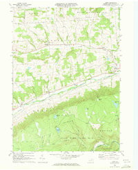 1969 Leroy1973 Print · USGSBradford County’s rural valleys and rugged highlands are captured here in the late sixties as traditional agriculture met expanding state conservation lands. Genealogists and local historians can locate family landmarks at Granville Center, West Franklin, and the old mining and lumbering sites of Barclay and Laquin.2 unique versions available
 - 1981 Map of Towanda, 1982 Print
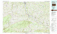 1981 Towanda1982 Print · USGSThe Susquehanna Valley at the turn of the 1980s reveals a region of mountain forests and busy river towns along the New York border. Researchers can trace the legacy of the CONRAIL lines through Sayre or locate remote landmarks like Armenia Mountain and Mt Pisgah State Park.
 - 2010 Map of Leroy, 2010 Print
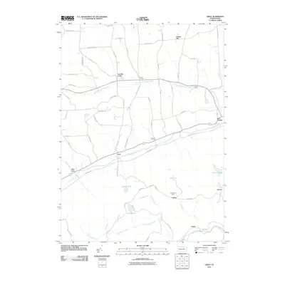 2010 Leroy2010 Print · USGSBradford County’s rural valleys and highlands are documented here in the early twenty-first century, showing the enduring structure of its crossroad hamlets. Genealogists and hikers can trace connections between Granville Center, the slopes of Leroy Mountain, and the historic industrial sites at Barclay.
 - 2013 Map of Leroy, 2013 Print
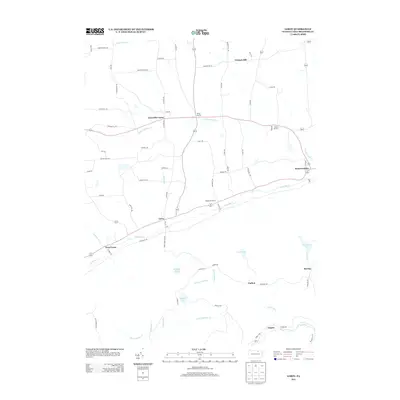 2013 Leroy2013 Print · USGSBradford County’s rural valleys and high ridges are documented here in the early twenty-first century, centered on the historic Towanda Cr watershed. Researchers can trace family names and small-town footprints across Granville Center, West Franklin, and the old settlement sites at Laquin and Barclay.
 - 2016 Map of Leroy, 2016 Print
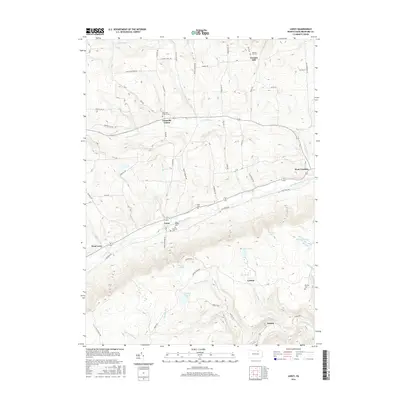 2016 Leroy2016 Print · USGSBradford County's rural character is preserved in this mid-century survey of the Towanda Creek valley and its surrounding uplands. Researchers can trace family history through several burial grounds, including Barclay Cem and Vroman Hill Cem, or locate old settlements like Laquin and Granville Center.
 - 2019 Map of Leroy, 2019 Print
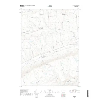 2019 Leroy2019 Print · USGSBradford County’s southern valleys and highlands are documented here in the modern era. Genealogists can locate family landmarks like Mott Family Cem and Barclay Cem, while following the paths of Towanda Creek and Schrader Creek.
 - 2023 Map of Leroy, 2023 Print
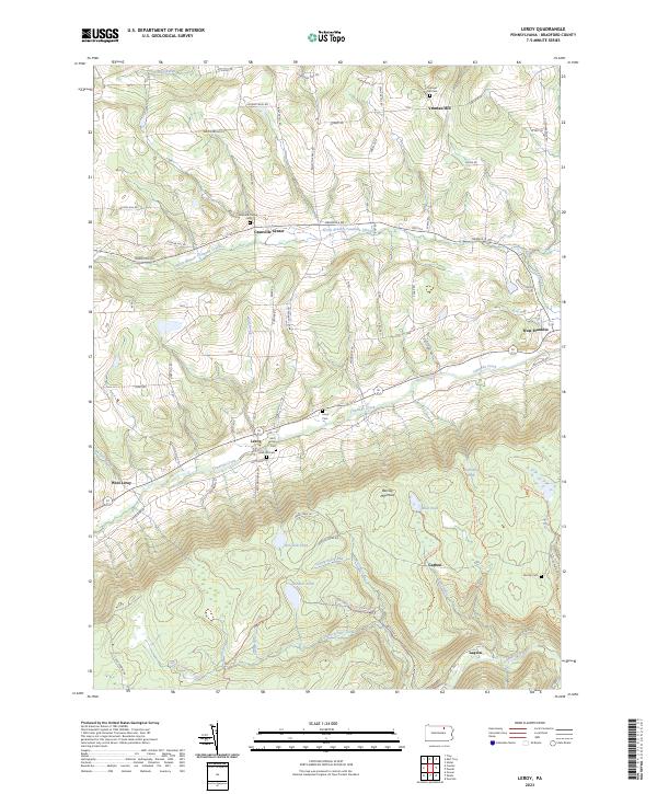 2023 Leroy2023 Print · USGSBradford County’s southern highlands and Towanda Creek valley are shown here in modern detail. Genealogists can locate family sites like the Mott Family Cem and Holcomb Cem, or trace the old industrial footprints at Carbon and Laquin.
End of results
Showing maps 1-14 of 14
Top cities near Carbon
- Towanda historical maps
- Wysox Township historical maps
- Canton historical maps
- Troy historical maps
- Sheshequin Township historical maps
- Ulster Township historical maps
See more
Frequently asked questions
- What are the different types of historical maps available for Carbon?
- What is the oldest map of Carbon?
- Where can I purchase historical maps of Carbon for my home or office?
- Where can I download high-res historical maps of Carbon?
- Are there historical topographic maps available for Carbon?
- Is there historical aerial imagery available for Carbon?
- Where are historical maps of Carbon sourced from?