2000s (21st Century) Maps of Clearfield Township, Pennsylvania
Explore 20 historic maps of Clearfield Township from the 2000s (21st Century). These maps offer a rare glimpse into what life looked like during the 2000s — showing old roads, neighborhoods, homes, and landmarks that have changed or disappeared over time.
Whether you're researching your family's past, planning a metal detecting trip, or studying how Clearfield Township's landscape evolved across the 2000s, these high-resolution maps are a powerful tool for exploring the history of this region.
- Focus on a specific era: All maps on this page are from the 2000s, giving you a focused view of this time period.
- See what’s changed: Compare century-old streets, trails, and buildings to today's modern landscape using overlays and satellite layers.
- Research with precision: Use these maps for genealogy, historical research, land use analysis, or educational projects.
- View, download, or print: Maps are fully viewable online in high resolution, and can be downloaded or printed for your own records.
Start exploring Clearfield Township's history through authentic maps from the 2000s. This is your window into the past.
Clearfield Township, PA maps
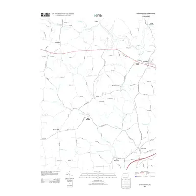
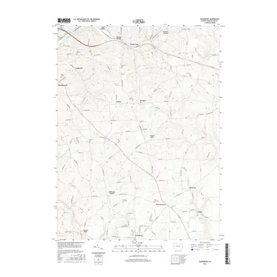
(20)- 2010 Map of Saxonburg, 2010 Print
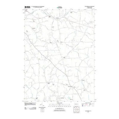 2010 Saxonburg2010 Print · USGSCovers Clearfield Township, including Saxonburg, Brinker, and other nearby areas
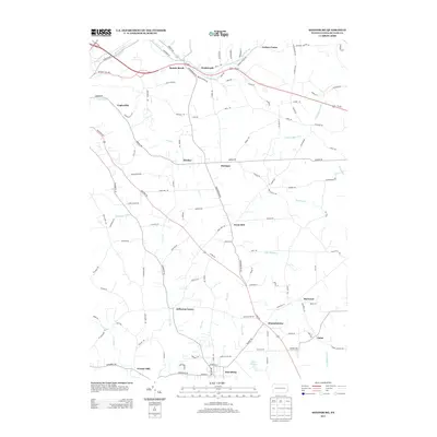
 - 2010 Map of Chicora, 2010 Print
 2010 Chicora2010 Print · USGSCovers Clearfield Township, including Chicora, Bradys Bend Township, and other nearby areas
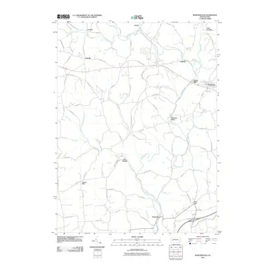
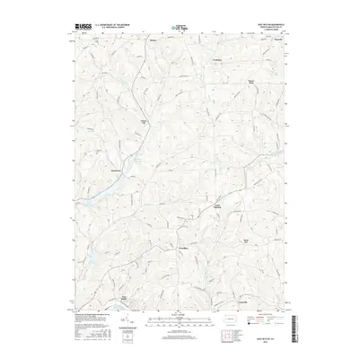
 - 2010 Map of East Butler, 2010 Print
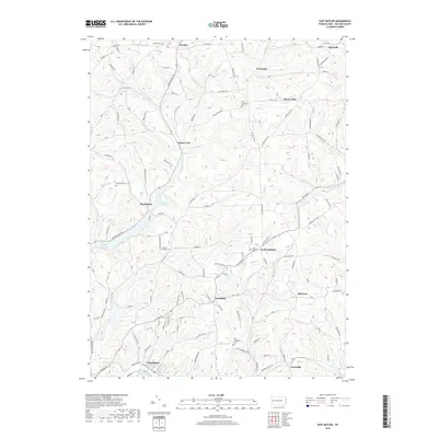
 2010 East Butler2010 Print · USGSCovers Clearfield Township, including East Butler, Concord Township, and other nearby areas
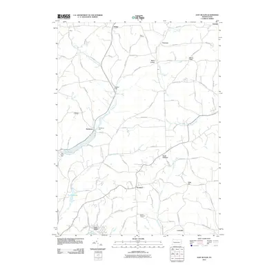
 - 2010 Map of Worthington, 2010 Print
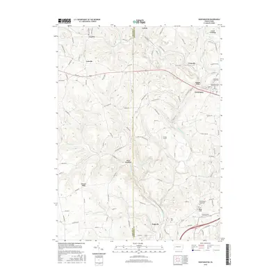
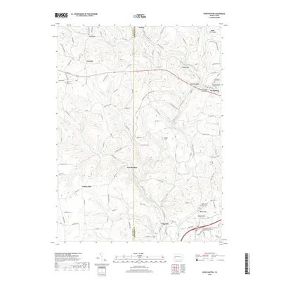
 2010 Worthington2010 Print · USGSCovers Clearfield Township, including North Buffalo Township, Worthington, and other nearby areas
 - 2013 Map of Saxonburg, 2013 Print
 2013 Saxonburg2013 Print · USGSCovers Clearfield Township, including Saxonburg, Brinker, and other nearby areas
 - 2013 Map of Chicora, 2013 Print
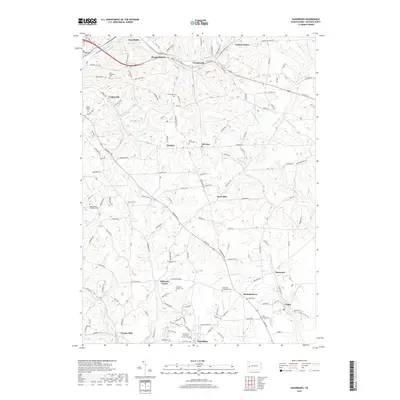
 2013 Chicora2013 Print · USGSCovers Clearfield Township, including Chicora, Bradys Bend Township, and other nearby areas
 - 2013 Map of Worthington, 2013 Print
 2013 Worthington2013 Print · USGSCovers Clearfield Township, including North Buffalo Township, Worthington, and other nearby areas
 - 2013 Map of East Butler, 2013 Print
 2013 East Butler2013 Print · USGSCovers Clearfield Township, including East Butler, Concord Township, and other nearby areas
 - 2016 Map of East Butler, 2016 Print
 2016 East Butler2016 Print · USGSCovers Clearfield Township, including East Butler, Concord Township, and other nearby areas
 - 2016 Map of Saxonburg, 2016 Print
 2016 Saxonburg2016 Print · USGSCovers Clearfield Township, including Saxonburg, Brinker, and other nearby areas
 - 2016 Map of Chicora, 2016 Print
 2016 Chicora2016 Print · USGSCovers Clearfield Township, including Chicora, Bradys Bend Township, and other nearby areas
 - 2016 Map of Worthington, 2016 Print
 2016 Worthington2016 Print · USGSCovers Clearfield Township, including North Buffalo Township, Worthington, and other nearby areas
 - 2019 Map of East Butler, 2019 Print
 2019 East Butler2019 Print · USGSCovers Clearfield Township, including East Butler, Concord Township, and other nearby areas
 - 2019 Map of Worthington, 2019 Print
 2019 Worthington2019 Print · USGSCovers Clearfield Township, including North Buffalo Township, Worthington, and other nearby areas
 - 2019 Map of Saxonburg, 2019 Print
 2019 Saxonburg2019 Print · USGSCovers Clearfield Township, including Saxonburg, Brinker, and other nearby areas
 - 2019 Map of Chicora, 2019 Print
 2019 Chicora2019 Print · USGSCovers Clearfield Township, including Chicora, Bradys Bend Township, and other nearby areas
 - 2023 Map of East Butler, 2023 Print
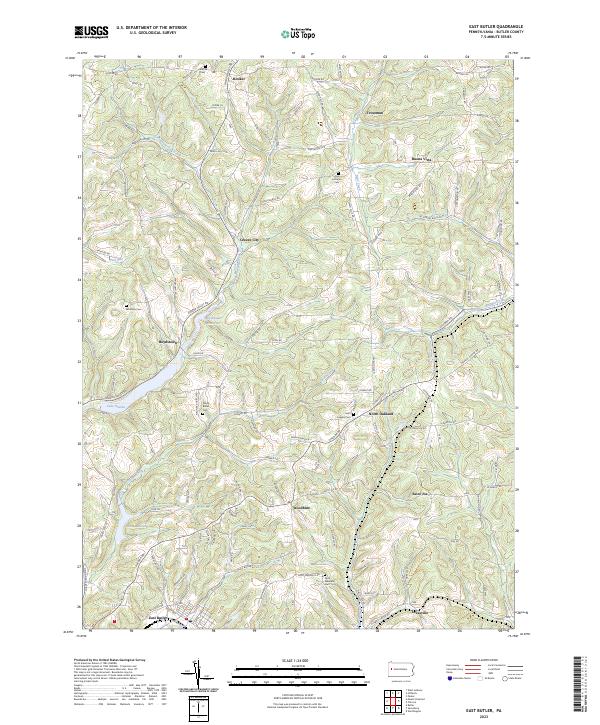 2023 East Butler2023 Print · USGSButler County's rolling upland terrain and small-town networks are captured in this modern survey of the region northeast of Butler. Genealogists and local historians can trace family locations near Concord Cem, the waters of Lake Oneida, and the historic settlement of Greece City.
 - 2023 Map of Chicora, 2023 Print
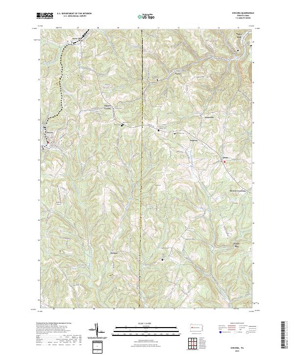 2023 Chicora2023 Print · USGSButler and Armstrong counties appear in 2023 with their intricate network of ridge-top settlements and creek valleys. Researchers can trace family history through numerous rural burial sites like Saint Patricks Cem and Hillview Cem or locate old community hubs like Fosters Mills and Kepples Corners.
 - 2023 Map of Worthington, 2023 Print
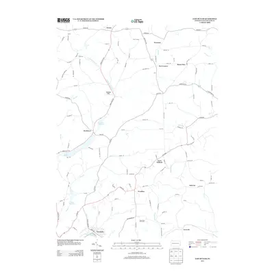
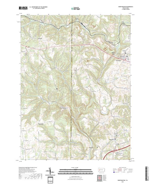 2023 Worthington2023 Print · USGSThe rural borderlands of Butler and Armstrong counties come alive in this recent survey. Researchers can trace family history through numerous church grounds including the Buffalo United Presbyterian Church Cem or locate legacy sites like Buffalo Mills and Slate Lick.
 - 2023 Map of Saxonburg, 2023 Print
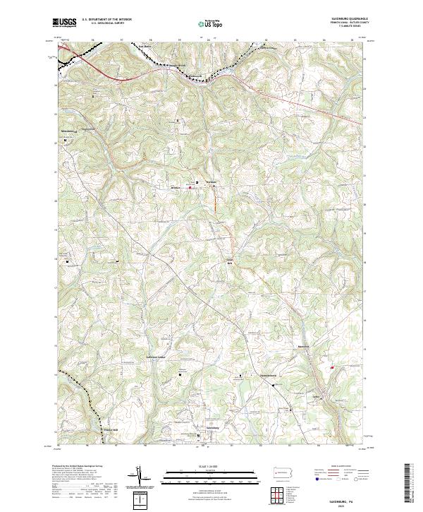 2023 Saxonburg2023 Print · USGSSaxonburg and its surrounding hamlets are captured in this recent survey of Butler County. Researchers can trace family history through numerous sites like B'nai Abraham Cem, the Butler-Freeport Community Trl, and Frazier Mill.
End of results
Showing maps 1-20 of 20
Top cities near Clearfield Township
- Butler historical maps
- Harrison Township historical maps
- Kittanning historical maps
- Ford City historical maps
- Clinton Township historical maps
- North Buffalo Township historical maps
See more
Top neighborhoods of Clearfield Township
Frequently asked questions
- What are the different types of historical maps available for Clearfield Township?
- What is the oldest map of Clearfield Township?
- Where can I purchase historical maps of Clearfield Township for my home or office?
- Where can I download high-res historical maps of Clearfield Township?
- Are there historical topographic maps available for Clearfield Township?
- Is there historical aerial imagery available for Clearfield Township?
- Where are historical maps of Clearfield Township sourced from?