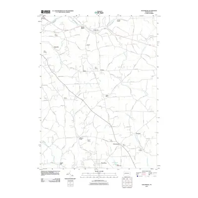
2010 Map of Saxonburg
USGS Topo · Published 2010About this map
Saxonburg anchors this Butler County landscape, showing a network of small settlements and family cemeteries as they appeared in the early 21st century. The terrain is defined by the winding paths of Thorn Creek, Coal Run, and Rough Run, which influenced the placement of historic clusters like Hannahstown and Jefferson Center. The map preserves the locations of several important religious and community sites, including Saint Marys Cemetery, the B'nai Abraham Cemetery, and Saint Michael Cemetery near Vogleyville.
Find a feature on this map
104 named features on this map. Tap any name to fly to it.
Don’t see what you’re looking for? This feature index may not catch every label — zoom into the map to look around manually.
Map Details
Editions of this 2010 Saxonburg Map
This is the sole edition of this map. No revisions or reprints were ever made.
Other maps of this area

1900 · Kittanning
USGS Topo · 1:62,500

1902 · Kittanning
USGS Topo · 1:62,500
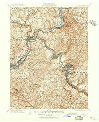
1907 · Freeport
USGS Topo · 1:62,500
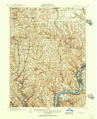
1908 · New Kensington
USGS Topo · 1:62,500
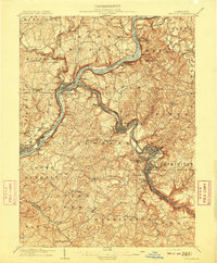
1909 · Freeport
USGS Topo · 1:62,500

1909 · Butler
USGS Topo · 1:62,500
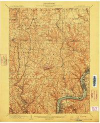
1910 · New Kensington
USGS Topo · 1:62,500
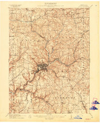
1911 · Butler
USGS Topo · 1:62,500
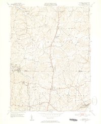
1950 · Valencia
USGS Topo · 1:24,000

1953 · Pittsburgh
USGS Topo · 1:250,000