
1910 Map of New Kensington
USGS Topo · Published 1910About this map
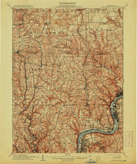
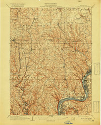
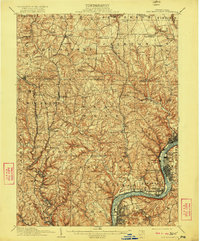
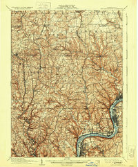
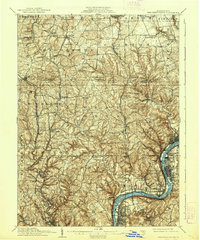
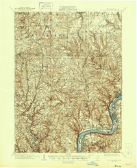
The Allegheny River corridor serves as the industrial and transport anchor for this 1910 survey, winding past the burgeoning river towns of New Kensington, Springdale, and Arnold. These settlements, along with the adjacent Glassmere and Creighton, demonstrate the early 20th-century density of the manufacturing belt north of Pittsburgh. Away from the river, the landscape transitions into a series of small agricultural and mining communities like Russellton, Culmerville, and Saxonburg, connected by an intricate network of early roads and rail lines including the Bessemer and Lake Erie RR.
Find a feature on this map
105 named features on this map. Tap any name to fly to it.
Don’t see what you’re looking for? This feature index may not catch every label — zoom into the map to look around manually.
Map Details
Editions of this 1910 New Kensington Map
7 editions found
Other maps of this area

1900 · Kittanning
USGS Topo · 1:62,500

1902 · Kittanning
USGS Topo · 1:62,500

1904 · Mc Keesport
USGS Topo · 1:62,500

1904 · Carnegie
USGS Topo · 1:62,500

1904 · Greensburg
USGS Topo · 1:62,500

1906 · Carnegie
USGS Topo · 1:62,500

1906 · Greensburg
USGS Topo · 1:62,500

1906 · Sewickley
USGS Topo · 1:62,500

1907 · Pittsburg
USGS Topo · 1:62,500

1907 · Freeport
USGS Topo · 1:62,500