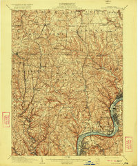
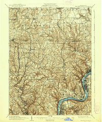
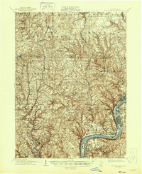
1910 Map of New Kensington
USGS Topo · Published 1922About this map
New Kensington and the industrial corridors of the Allegheny River define this early 20th-century landscape. The map captures a transition between the established riverfront towns like Springdale, Oakmont, and Glassmere and the rural interior of Butler and Allegheny counties. While the river handles heavy commerce and rail traffic on the Pennsylvania RR, the northern uplands remain deeply tied to agricultural and local trade hubs such as Saxonburg and Valencia.
Find a feature on this map
92 named features on this map. Tap any name to fly to it.
Don’t see what you’re looking for? This feature index may not catch every label — zoom into the map to look around manually.
Map Details
Editions of this 1910 New Kensington Map
7 editions found

Other maps of this area

1900 · Kittanning
USGS Topo · 1:62,500

1902 · Kittanning
USGS Topo · 1:62,500

1904 · Mc Keesport
USGS Topo · 1:62,500

1904 · Carnegie
USGS Topo · 1:62,500

1904 · Greensburg
USGS Topo · 1:62,500

1906 · Carnegie
USGS Topo · 1:62,500

1906 · Greensburg
USGS Topo · 1:62,500

1906 · Sewickley
USGS Topo · 1:62,500

1907 · Pittsburg
USGS Topo · 1:62,500

1907 · Freeport
USGS Topo · 1:62,500