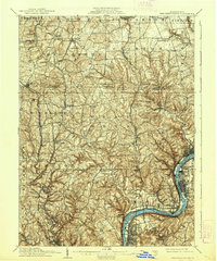
1910 Map of New Kensington
USGS Topo · Published 1939About this map
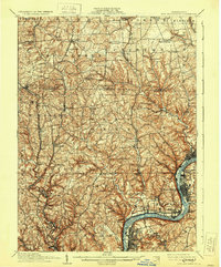
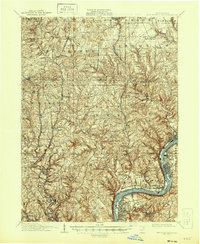
The Allegheny River valley forms the industrial and transport corridor of this early 20th-century survey, anchored by the developing hub of New Kensington. In the river, Twelvemile Island sits between Acmetonia and Denny, while a dense network of valley-bound settlements like Springdale and Cheswick follow the Pennsylvania RR lines. Further inland, the landscape shifts toward the upland farms and small villages of Middlesex and Clinton townships.
Find a feature on this map
86 named features on this map. Tap any name to fly to it.
Don’t see what you’re looking for? This feature index may not catch every label — zoom into the map to look around manually.
Map Details
Editions of this 1910 New Kensington Map
7 editions found

Other maps of this area

1900 · Kittanning
USGS Topo · 1:62,500

1902 · Kittanning
USGS Topo · 1:62,500

1904 · Mc Keesport
USGS Topo · 1:62,500

1904 · Carnegie
USGS Topo · 1:62,500

1904 · Greensburg
USGS Topo · 1:62,500

1906 · Carnegie
USGS Topo · 1:62,500

1906 · Greensburg
USGS Topo · 1:62,500

1906 · Sewickley
USGS Topo · 1:62,500

1907 · Pittsburg
USGS Topo · 1:62,500

1907 · Freeport
USGS Topo · 1:62,500