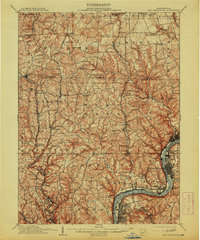
1910 Map of New Kensington
USGS Topo · Published 1913About this map
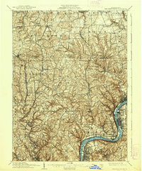
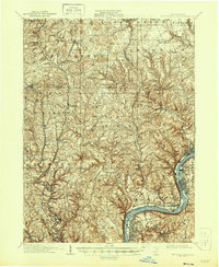
The Allegheny River corridor serves as the industrial and transportation backbone of this region, winding past established centers like New Kensington, Tarentum, and Arnold. In the early 20th century, the landscape was a complex mesh of river-oriented commerce and upland rural life, where the remnants of the Pennsylvania Canal shared the valley with the Pennsylvania RR and West Penn RR. To the south, Oakmont and Hulton mark the suburban fringe, while the interior is dotted with family-named landmarks and local institutions such as Sandy Hill School and Clinton Mineral Spring.
Find a feature on this map
101 named features on this map. Tap any name to fly to it.
Don’t see what you’re looking for? This feature index may not catch every label — zoom into the map to look around manually.
Map Details
Editions of this 1910 New Kensington Map
7 editions found

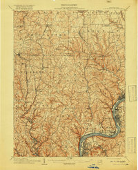
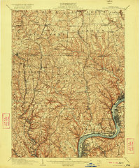
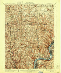
Other maps of this area

1900 · Kittanning
USGS Topo · 1:62,500

1902 · Kittanning
USGS Topo · 1:62,500

1904 · Mc Keesport
USGS Topo · 1:62,500

1904 · Carnegie
USGS Topo · 1:62,500

1904 · Greensburg
USGS Topo · 1:62,500

1906 · Carnegie
USGS Topo · 1:62,500

1906 · Greensburg
USGS Topo · 1:62,500

1906 · Sewickley
USGS Topo · 1:62,500

1907 · Pittsburg
USGS Topo · 1:62,500

1907 · Freeport
USGS Topo · 1:62,500