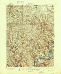
1910 Map of New Kensington
USGS Topo · Published 1946About this map
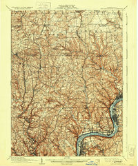
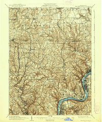
Industrial towns and river-oriented settlements line the banks of the Allegheny River in this early 20th-century survey of western Pennsylvania. The landscape is defined by the heavy presence of the Pennsylvania RR, which snakes along the river valley, connecting major hubs like Tarentum, New Kensington, and Oakmont. These riverfront communities are densely developed compared to the interior uplands, where smaller hamlets such as Glade Mills, Cooperstown, and Dorseyville remain more isolated amid the steep drainage of Deer Creek and Pine Creek.
Find a feature on this map
84 named features on this map. Tap any name to fly to it.
Don’t see what you’re looking for? This feature index may not catch every label — zoom into the map to look around manually.
Map Details
Editions of this 1910 New Kensington Map
7 editions found

Other maps of this area

1900 · Kittanning
USGS Topo · 1:62,500

1902 · Kittanning
USGS Topo · 1:62,500

1904 · Mc Keesport
USGS Topo · 1:62,500

1904 · Carnegie
USGS Topo · 1:62,500

1904 · Greensburg
USGS Topo · 1:62,500

1906 · Carnegie
USGS Topo · 1:62,500

1906 · Greensburg
USGS Topo · 1:62,500

1906 · Sewickley
USGS Topo · 1:62,500

1907 · Pittsburg
USGS Topo · 1:62,500

1907 · Freeport
USGS Topo · 1:62,500