2000s (21st Century) Maps of Slippery Rock Township, Pennsylvania
Explore 10 historic maps of Slippery Rock Township from the 2000s (21st Century). These maps offer a rare glimpse into what life looked like during the 2000s — showing old roads, neighborhoods, homes, and landmarks that have changed or disappeared over time.
Whether you're researching your family's past, planning a metal detecting trip, or studying how Slippery Rock Township's landscape evolved across the 2000s, these high-resolution maps are a powerful tool for exploring the history of this region.
- Focus on a specific era: All maps on this page are from the 2000s, giving you a focused view of this time period.
- See what’s changed: Compare century-old streets, trails, and buildings to today's modern landscape using overlays and satellite layers.
- Research with precision: Use these maps for genealogy, historical research, land use analysis, or educational projects.
- View, download, or print: Maps are fully viewable online in high resolution, and can be downloaded or printed for your own records.
Start exploring Slippery Rock Township's history through authentic maps from the 2000s. This is your window into the past.
Slippery Rock Township, PA maps
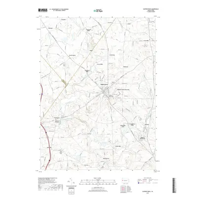
(10)- 2010 Map of Slippery Rock, 2010 Print
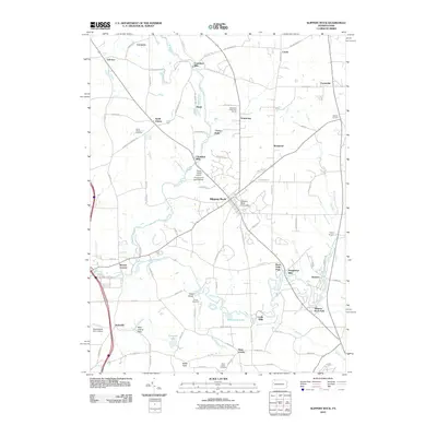 2010 Slippery Rock2010 Print · USGSCovers Slippery Rock Township, including Slippery Rock, Plain Grove Township, and other nearby areas
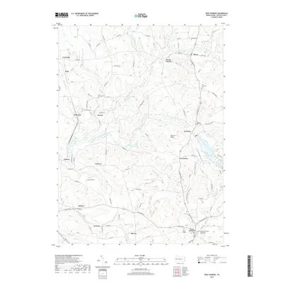
 - 2010 Map of West Sunbury, 2010 Print
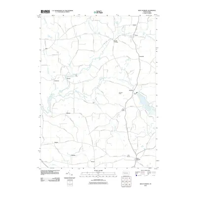 2010 West Sunbury2010 Print · USGSCovers Slippery Rock Township, including West Sunbury, Concord Township, and other nearby areas
 - 2013 Map of West Sunbury, 2013 Print
 2013 West Sunbury2013 Print · USGSCovers Slippery Rock Township, including West Sunbury, Concord Township, and other nearby areas
 - 2013 Map of Slippery Rock, 2013 Print
 2013 Slippery Rock2013 Print · USGSCovers Slippery Rock Township, including Slippery Rock, Plain Grove Township, and other nearby areas
 - 2016 Map of Slippery Rock, 2016 Print
 2016 Slippery Rock2016 Print · USGSCovers Slippery Rock Township, including Slippery Rock, Plain Grove Township, and other nearby areas
 - 2016 Map of West Sunbury, 2016 Print
 2016 West Sunbury2016 Print · USGSCovers Slippery Rock Township, including West Sunbury, Concord Township, and other nearby areas
 - 2019 Map of Slippery Rock, 2019 Print
 2019 Slippery Rock2019 Print · USGSCovers Slippery Rock Township, including Slippery Rock, Plain Grove Township, and other nearby areas
 - 2019 Map of West Sunbury, 2019 Print
 2019 West Sunbury2019 Print · USGSCovers Slippery Rock Township, including West Sunbury, Concord Township, and other nearby areas
 - 2023 Map of Slippery Rock, 2023 Print
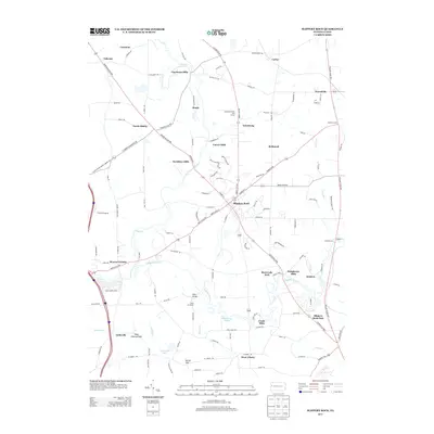
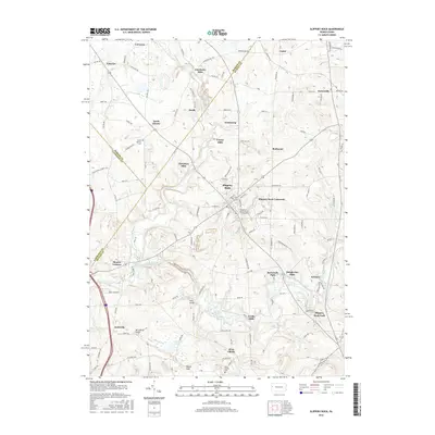
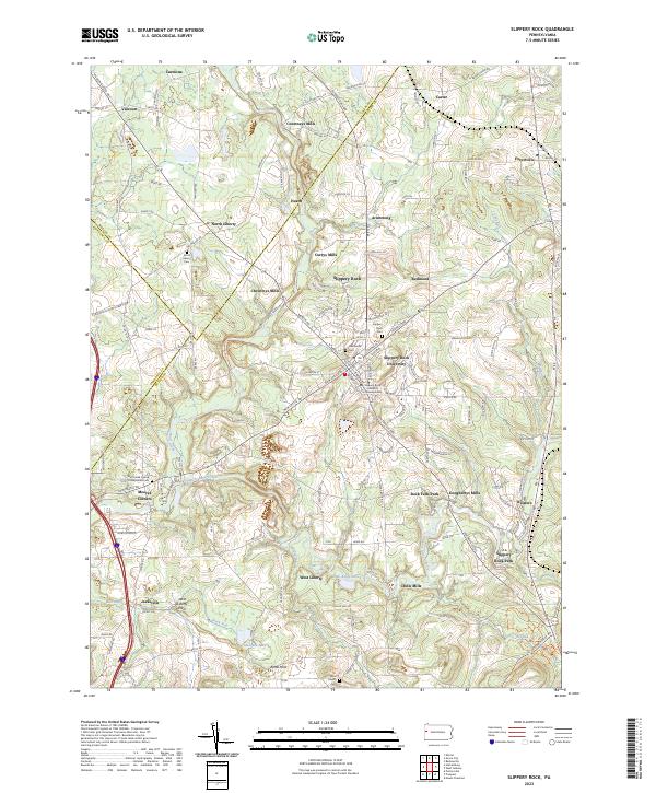 2023 Slippery Rock2023 Print · USGSSlippery Rock and its surrounding mill towns are captured here in the early 2020s, showing a landscape shaped by education and glacial geology. Researchers can locate family roots at the North Liberty Cem or trace the early industrial sites of Courtneys Mills and Crolls Mills.
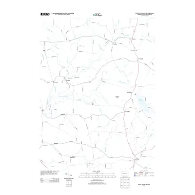
 - 2023 Map of West Sunbury, 2023 Print
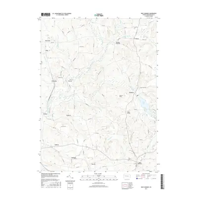
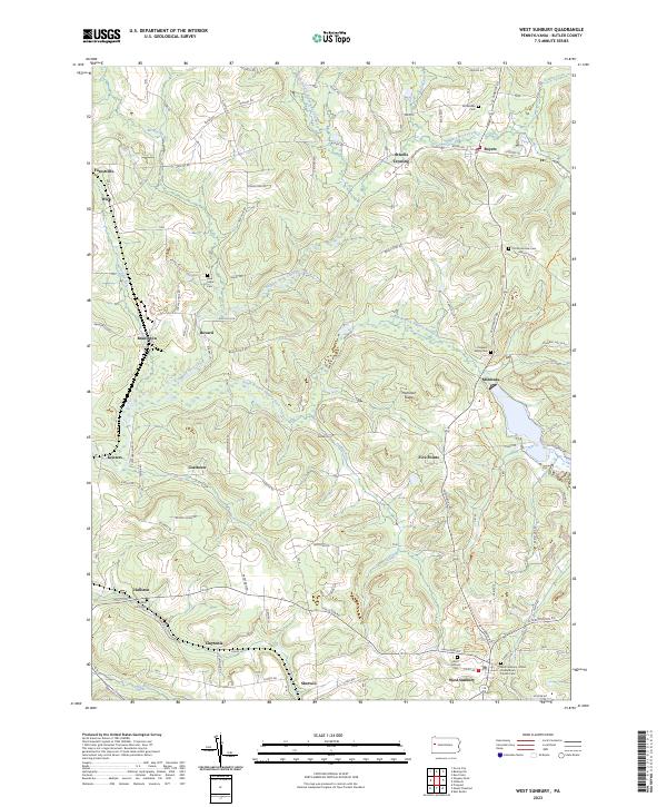 2023 West Sunbury2023 Print · USGSButler County's rural landscape is captured here in the 2020s, showcasing the persistent network of hamlets and winding creeks that define this region. Genealogists can trace family footprints at Annandale Cem, Saint John Cem, and the quiet crossroads of Claytonia.
End of results
Showing maps 1-10 of 10
Top cities near Slippery Rock Township
- Butler historical maps
- Grove City historical maps
- Ellwood City historical maps
- Slippery Rock historical maps
- Muddy Creek historical maps
- Mercer historical maps
See more
Top neighborhoods of Slippery Rock Township
- Keisters historical maps
- Redmond historical maps
- Rock Falls Park historical maps
- Armstrong historical maps
- Christleys Mills historical maps
- Doughertys Mills historical maps
See more
Frequently asked questions
- What are the different types of historical maps available for Slippery Rock Township?
- What is the oldest map of Slippery Rock Township?
- Where can I purchase historical maps of Slippery Rock Township for my home or office?
- Where can I download high-res historical maps of Slippery Rock Township?
- Are there historical topographic maps available for Slippery Rock Township?
- Is there historical aerial imagery available for Slippery Rock Township?
- Where are historical maps of Slippery Rock Township sourced from?