2000s (21st Century) Maps of Blacklick Township, Pennsylvania
Explore 20 historic maps of Blacklick Township from the 2000s (21st Century). These maps offer a rare glimpse into what life looked like during the 2000s — showing old roads, neighborhoods, homes, and landmarks that have changed or disappeared over time.
Whether you're researching your family's past, planning a metal detecting trip, or studying how Blacklick Township's landscape evolved across the 2000s, these high-resolution maps are a powerful tool for exploring the history of this region.
- Focus on a specific era: All maps on this page are from the 2000s, giving you a focused view of this time period.
- See what’s changed: Compare century-old streets, trails, and buildings to today's modern landscape using overlays and satellite layers.
- Research with precision: Use these maps for genealogy, historical research, land use analysis, or educational projects.
- View, download, or print: Maps are fully viewable online in high resolution, and can be downloaded or printed for your own records.
Start exploring Blacklick Township's history through authentic maps from the 2000s. This is your window into the past.
Blacklick Township, PA maps
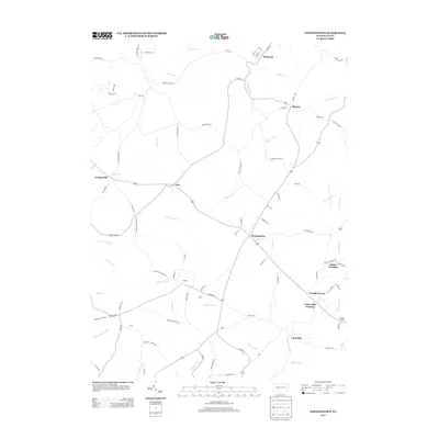
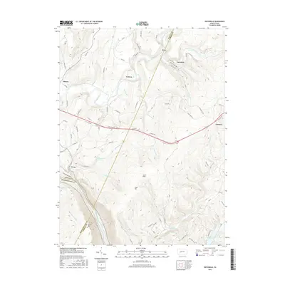
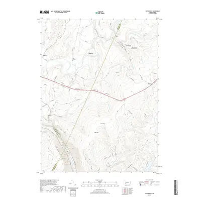
(20)- 2010 Map of Strongstown, 2010 Print
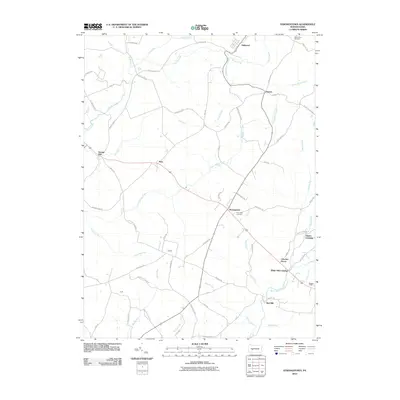 2010 Strongstown2010 Print · USGSCovers Blacklick Township, including Brush Valley Township, Pine Township, and other nearby areas
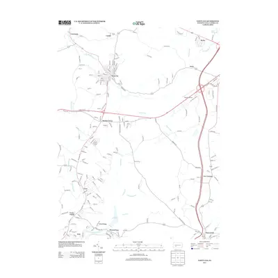
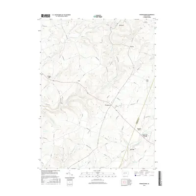
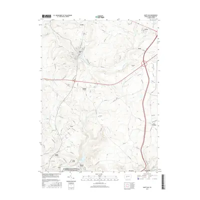
 - 2010 Map of Nanty Glo, 2010 Print
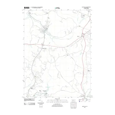 2010 Nanty Glo2010 Print · USGSCovers Blacklick Township, including Nanty Glo, Summerhill, and other nearby areas
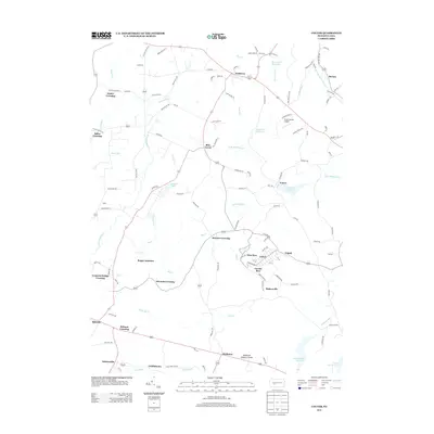
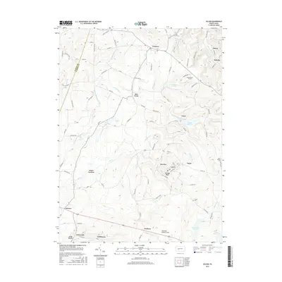
 - 2010 Map of Colver, 2010 Print
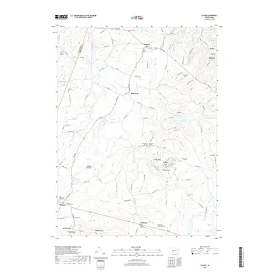
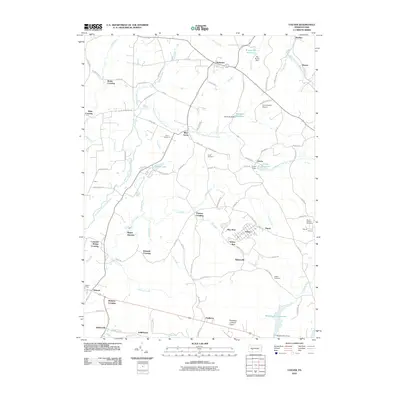 2010 Colver2010 Print · USGSCovers Blacklick Township, including Bakersville, Pine Township, and other nearby areas
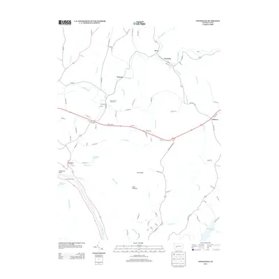
 - 2010 Map of Vintondale, 2010 Print
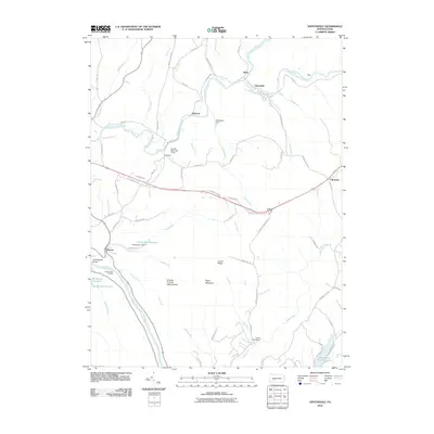 2010 Vintondale2010 Print · USGSCovers Blacklick Township, including Vintondale, Cramer, and other nearby areas
 - 2013 Map of Strongstown, 2013 Print
 2013 Strongstown2013 Print · USGSCovers Blacklick Township, including Brush Valley Township, Pine Township, and other nearby areas
 - 2013 Map of Nanty Glo, 2013 Print
 2013 Nanty Glo2013 Print · USGSCovers Blacklick Township, including Nanty Glo, Summerhill, and other nearby areas
 - 2013 Map of Colver, 2013 Print
 2013 Colver2013 Print · USGSCovers Blacklick Township, including Bakersville, Pine Township, and other nearby areas
 - 2013 Map of Vintondale, 2013 Print
 2013 Vintondale2013 Print · USGSCovers Blacklick Township, including Vintondale, Cramer, and other nearby areas
 - 2016 Map of Vintondale, 2016 Print
 2016 Vintondale2016 Print · USGSCovers Blacklick Township, including Vintondale, Cramer, and other nearby areas
 - 2016 Map of Strongstown, 2016 Print
 2016 Strongstown2016 Print · USGSCovers Blacklick Township, including Brush Valley Township, Pine Township, and other nearby areas
 - 2016 Map of Colver, 2016 Print
 2016 Colver2016 Print · USGSCovers Blacklick Township, including Bakersville, Pine Township, and other nearby areas
 - 2016 Map of Nanty Glo, 2016 Print
 2016 Nanty Glo2016 Print · USGSCovers Blacklick Township, including Nanty Glo, Summerhill, and other nearby areas
 - 2019 Map of Vintondale, 2019 Print
 2019 Vintondale2019 Print · USGSCovers Blacklick Township, including Vintondale, Cramer, and other nearby areas
 - 2019 Map of Strongstown, 2019 Print
 2019 Strongstown2019 Print · USGSCovers Blacklick Township, including Brush Valley Township, Pine Township, and other nearby areas
 - 2019 Map of Colver, 2019 Print
 2019 Colver2019 Print · USGSCovers Blacklick Township, including Bakersville, Pine Township, and other nearby areas
 - 2019 Map of Nanty Glo, 2019 Print
 2019 Nanty Glo2019 Print · USGSCovers Blacklick Township, including Nanty Glo, Summerhill, and other nearby areas
 - 2023 Map of Colver, 2023 Print
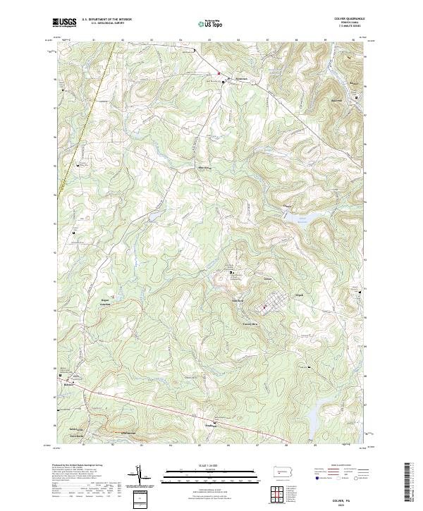 2023 Colver2023 Print · USGSCambria County mining towns and rural settlements appear in high detail during this recent survey of the Allegheny Front. Researchers can trace family roots through numerous burial sites like Sacred Heart Cem and Dunkard Cem or locate old homesteads near Regan Junction and Pindleton.
 - 2023 Map of Nanty Glo, 2023 Print
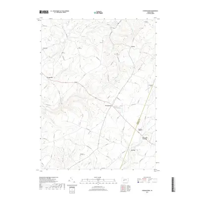
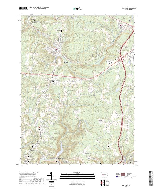 2023 Nanty Glo2023 Print · USGSCambria County's coal and rail heritage is visible in this contemporary survey of the plateau and valley settlements. Genealogists can locate several family and denominational sites including Beulah Cem, Dunmire Farm Cem, and the First Finnish Lutheran Cem.
 - 2023 Map of Vintondale, 2023 Print
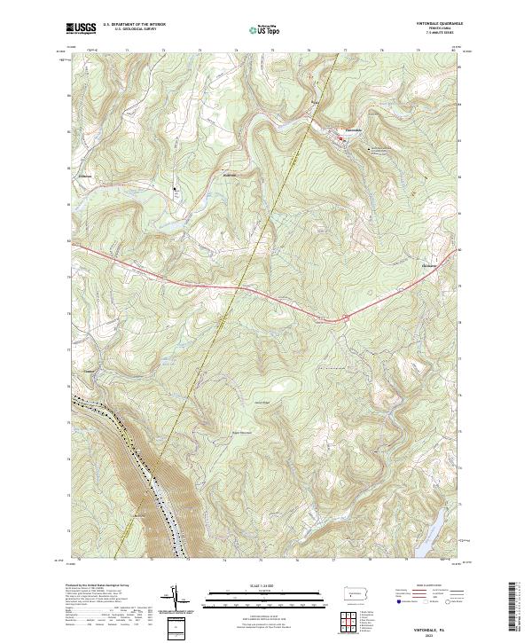 2023 Vintondale2023 Print · USGSThis survey captures the heart of Pennsylvania coal country as it appears today, spanning the intersections of Cambria, Indiana, and Westmoreland counties. Genealogists and hikers can trace the Ghost Town Trail through Vintondale or locate the Black Lick Cemetery.
 - 2023 Map of Strongstown, 2023 Print
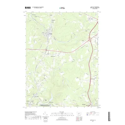
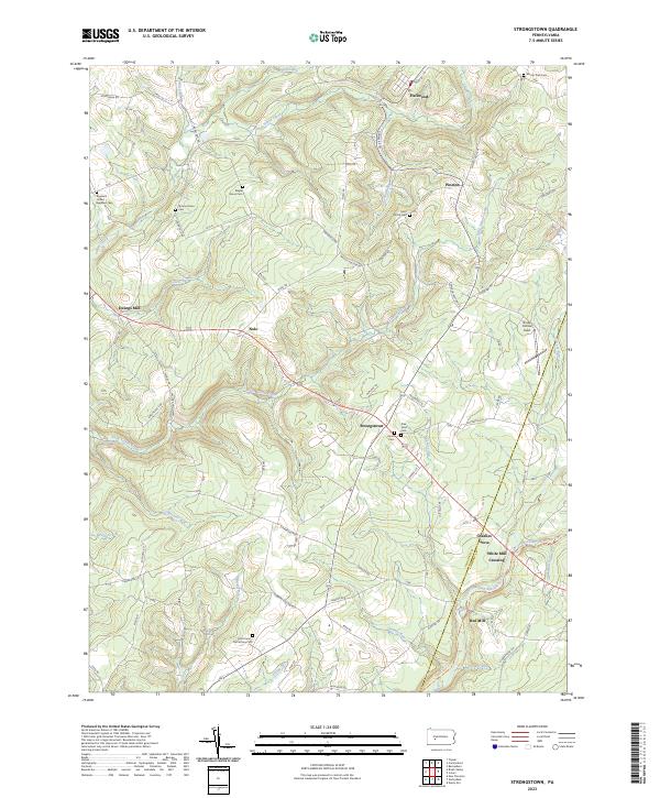 2023 Strongstown2023 Print · USGSIndiana and Cambria counties are documented in this contemporary survey, showing the enduring network of hill-country settlements. Researchers can trace historic industry and lineage through White Mill Crossing, the Ghost Town Trl, and Saint Patrick Cem.
End of results
Showing maps 1-20 of 20
Top cities near Blacklick Township
- Johnstown historical maps
- Franklin historical maps
- Westmont historical maps
- Northern Cambria historical maps
- Rayne Township historical maps
- Ebensburg historical maps
See more
Top neighborhoods of Blacklick Township
- Adams Crossing historical maps
- White Mill Crossing historical maps
- Belsano historical maps
- Belsano Crossing historical maps
- Concrete Bridge Crossing historical maps
- Edwards Crossing historical maps
See more
Frequently asked questions
- What are the different types of historical maps available for Blacklick Township?
- What is the oldest map of Blacklick Township?
- Where can I purchase historical maps of Blacklick Township for my home or office?
- Where can I download high-res historical maps of Blacklick Township?
- Are there historical topographic maps available for Blacklick Township?
- Is there historical aerial imagery available for Blacklick Township?
- Where are historical maps of Blacklick Township sourced from?