Old Maps of East Taylor Township, Pennsylvania for Genealogy
Trace your family roots with 35 historic maps of East Taylor Township. These high-res maps reveal old neighborhoods, homesites, landmarks, and streets — helping you uncover where your ancestors lived and how the area evolved over time.
- Explore historic neighborhoods: Identify where your relatives may have lived in the 1800s or 1900s.
- Compare maps over time: Trace the changes in streets, buildings, and landmarks for multi-generational research.
- Perfect for genealogy & ancestry research: Used by family historians and researchers to map out lineage and migration.
These maps are an incredible resource for exploring your personal connection to East Taylor Township's past.
East Taylor Township, PA maps
(35)- 1904 Map of Johnstown, 1954 Print
 1904 Johnstown1954 Print · USGSJohnstown and the Cambria County coalfields are shown in detail during their industrial peak in the early twentieth century. Researchers can trace ancestral neighborhoods like Morrellville and Franklin, or locate historic landmarks such as the Old Portage RR Tunnel and Grandview Cemetery.2 unique versions available
 - 1907 Map of Johnstown
 1907 Johnstown1907 Print · USGSJohnstown and the surrounding coal valleys are captured here at the height of their industrial expansion in the early twentieth century. Researchers can trace the path of the Pennsylvania RR and find vanished local landmarks like Expedit PO and the Old Portage RR Tunnel.6 unique versions available
 - 1953 Map of Pittsburgh
 1953 Pittsburgh1953 Print · USGSWestern Pennsylvania's industrial landscape at the start of the fifties shows the steel and rail corridors between Pittsburgh and Altoona. Trace family roots in river towns like Tarentum or follow the Pennsylvania Turnpike across Laurel Hill.
 - 1954 Map of Pittsburgh
 1954 Pittsburgh1954 Print · USGSWestern Pennsylvania in the early fifties remains a powerhouse of heavy industry and vital transit corridors. Genealogists and historians can trace the rail-and-river network connecting Pittsburgh, Johnstown, and Altoona via the Pennsylvania RR and the Lincoln Highway.2 unique versions available
 - 1958 Map of Pittsburgh
 1958 Pittsburgh1958 Print · USGSWestern Pennsylvania in the late fifties shows an industrial heartland defined by the confluence of the Allegheny River and Monongahela River. Researchers can trace the sprawling rail networks of the Pennsylvania RR and find established towns like Butler, Latrobe, and Windber.5 unique versions available
 - 1959 Map of Pittsburgh
 1959 Pittsburgh1959 Print · USGSWestern Pennsylvania in the late fifties is captured here at the height of its industrial era. Genealogists and historians can trace the riverfront growth of Pittsburgh, the rail works at Altoona, and the mountain gaps of Laurel Hill.
 - 1964 Map of Pittsburgh
 1964 Pittsburgh1964 Print · USGSWestern Pennsylvania in the late fifties and early sixties shows a landscape of powerful river industries and expanding highways. Genealogists and historians can trace the rail corridors of the Pennsylvania RR through industrial hubs like Johnstown, Altoona, and Nanty Glo.
 - 1964 Map of Geistown, 1965 Print
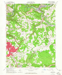 1964 Geistown1965 Print · USGSCambria County in the mid-sixties reveals an industrial landscape defined by river-valley mining and growing suburban centers. Genealogists can trace family names through local landmarks like St Anthony Cem, Sidman (Lovett Sta), and Locust Grove Ch.5 unique versions available
 - 1964 Map of Vintondale, 1966 Print
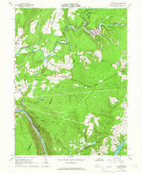 1964 Vintondale1966 Print · USGSCambria and Indiana counties were defined by the coal and rail industries during the early sixties. Genealogists can trace family roots through the settlements of Vintondale and Dilltown, or locate landmarks like the Delano Sch and Wehrum Mine Dump.3 unique versions available
 - 1964 Map of Nanty Glo, 1966 Print
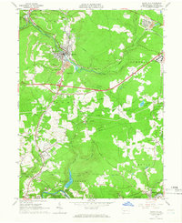 1964 Nanty Glo1966 Print · USGSCambria County's industrial heart is captured in the mid-1960s, showing the intersection of mining, rail, and community life. Genealogists and historians can locate family landmarks like St Marys Cem and trace the paths of the Pennsylvania Railroad through Nanty Glo and Summerhill.4 unique versions available
 - 1964 Map of Johnstown, 1966 Print
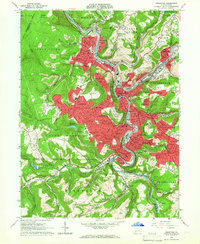 1964 Johnstown1966 Print · USGSThe Conemaugh River valley is captured in the mid-1960s as a dense industrial and rail hub. Genealogists can trace family roots through neighborhood landmarks like Grandview Cemetery, St Nicholas Ch, and the many schools of Westmont and Southmont.6 unique versions available
 - 1977 Map of Johnstown, 1979 Print
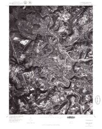 1977 Johnstown1979 Print · USGSThe industrial heart of Pennsylvania is seen from above in the late seventies, showing the dense development at the confluence of Stony Creek and the Conemaugh River. Genealogists and local historians can trace the urban layout of Johnstown and the hillside neighborhoods of Westmont and Lorain.
 - 1981 Map of Johnstown, 1983 Print
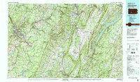 1981 Johnstown1983 Print · USGSSouth Central Pennsylvania is captured here in the early eighties, from the industrial heart of the Conemaugh Valley to the ridges of the Allegheny Front. Local historians can trace the rail corridors of Conrail and the growth of mountain communities like Ebensburg, Nanty Glo, and Windber.
 - 1993 Map of Geistown, 1999 Print
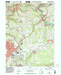 1993 Geistown1999 Print · USGSCambria County in the early nineties reveals a landscape defined by industrial history and the legacy of the Great Flood. Trace family roots at Richland Cemetery or explore landmarks like the Staple Bend Tunnel and South Fork.
 - 1998 Map of Vintondale, 1999 Print
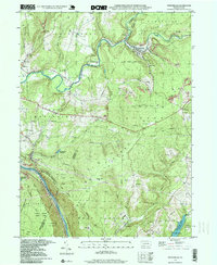 1998 Vintondale1999 Print · USGSIn the late nineties, the area around Vintondale and Wehrum remains defined by its deep mining heritage and the winding Blacklick Creek. Genealogists and historians can locate family landmarks like Memorial Ch and Delano Sch, or trace the old CONRAIL line and the Gallitzin Trail.
 - 2010 Map of Nanty Glo, 2010 Print
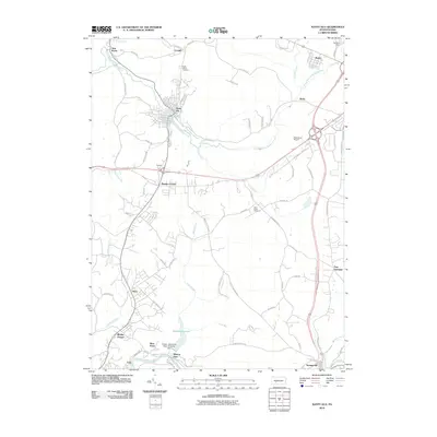 2010 Nanty Glo2010 Print · USGSCambria County at the start of the 2010s shows a landscape of deep creek valleys and upland airports. Researchers can trace genealogical roots at Saint Marys Cemetery or follow the path of the South Branch Blacklick Creek through Nanty Glo and Revloc.
 - 2010 Map of Johnstown, 2010 Print
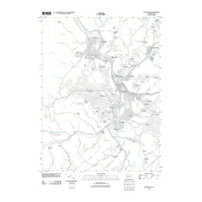 2010 Johnstown2010 Print · USGSJohnstown and its riverfront neighborhoods are shown in this 2010 survey at the confluence of the Stonycreek River and Little Conemaugh River. Genealogists and historians can trace numerous family and church burial sites including Saint Stephens Cemetery and Grandview Cemetery.
 - 2010 Map of Geistown, 2010 Print
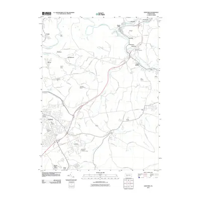 2010 Geistown2010 Print · USGSCambria County's industrial and academic hubs are well-established by 2010, centered around Geistown and the University of Pittsburgh - Johnstown Campus. Researchers can locate several burial grounds like Dunmyer Cemetery and trace the history of the South Fork Reservoir Dam Site.
 - 2010 Map of Vintondale, 2010 Print
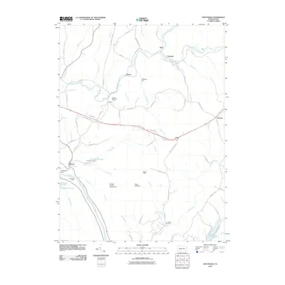 2010 Vintondale2010 Print · USGSThe industrial valleys of Cambria County are captured here in the early twenty-first century, centered on the creek-side settlements of Vintondale and Wehrum. Researchers can trace old iron-industry footprints at Conemaugh Furnace or explore the deep Conemaugh Gorge where the river cuts through Laurel Ridge.
 - 2013 Map of Johnstown, 2013 Print
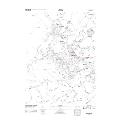 2013 Johnstown2013 Print · USGSJohnstown and its neighboring river-valley boroughs are shown in detail during the early 21st century. Researchers can trace the modern layout of historic neighborhoods like Cambria City and Moxham, or locate landmarks such as the Mill Creek Reservoir.
 - 2013 Map of Geistown, 2013 Print
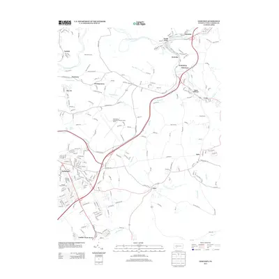 2013 Geistown2013 Print · USGSCambria County during the early twenty-first century reveals a landscape defined by the Little Conemaugh River and its legacy of industrial settlements. Researchers can trace the layout of boroughs like Geistown, the historic Staple Bend Tunnel, and local landmarks from Saint Michael to the Johnstown-Cambria County Airport.
 - 2013 Map of Nanty Glo, 2013 Print
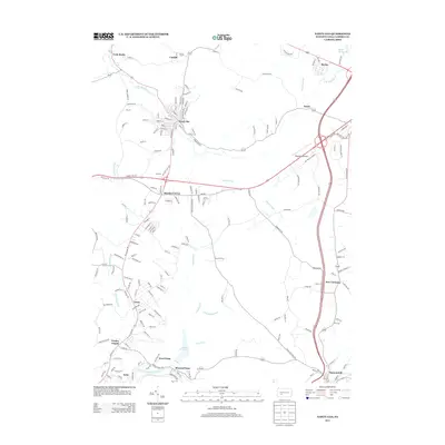 2013 Nanty Glo2013 Print · USGSCambria County's coal and transit corridors are well-defined in this modern-era survey of Nanty Glo and its surrounding valleys. Researchers can trace the layout of historic settlements like Twin Rocks, Revloc, and Mineral Point near the Saltlick Reservoir.
 - 2013 Map of Vintondale, 2013 Print
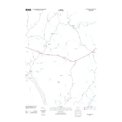 2013 Vintondale2013 Print · USGSCambria County's industrial and mountain landscape is captured here in the early twenty-first century. Researchers can trace historical sites like the Conemaugh Furnace or follow the paths of long-established settlements such as Vintondale, Wehrum, and Rexis.
 - 2016 Map of Vintondale, 2016 Print
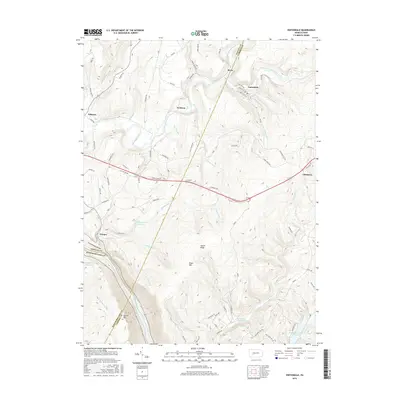 2016 Vintondale2016 Print · USGSThe coal and water landscapes of the Laurel Highlands are documented here as they appeared in the mid-2010s. Researchers can trace the industrial legacy of Vintondale and Wehrum or locate family sites near Findley Run Reservoir and Conemaugh Gorge.
 - 2016 Map of Johnstown, 2016 Print
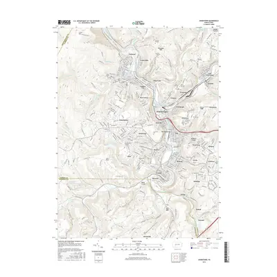 2016 Johnstown2016 Print · USGSThe industrial river valleys of Cambria County are shown here in the mid-2010s, centered on the complex confluence of the Conemaugh River and Stonycreek River. Genealogists can trace a wealth of parish history through numerous sites like Saint Nicholas Cem, Saint Johns Cem, and Headrick Union Cem.
Showing maps 1-25 of 35
Top cities near East Taylor Township
- Johnstown historical maps
- Franklin historical maps
- Westmont historical maps
- Windber historical maps
- Ebensburg historical maps
- Stonycreek Township historical maps
See more
Top neighborhoods of East Taylor Township
- Goods Corner historical maps
- Mineral Point historical maps
- Parkhill historical maps
- Echo historical maps
- Wesley Chapel historical maps
- West Point historical maps
Frequently asked questions
- What are the different types of historical maps available for East Taylor Township?
- What is the oldest map of East Taylor Township?
- Where can I purchase historical maps of East Taylor Township for my home or office?
- Where can I download high-res historical maps of East Taylor Township?
- Are there historical topographic maps available for East Taylor Township?
- Is there historical aerial imagery available for East Taylor Township?
- Where are historical maps of East Taylor Township sourced from?