Old Maps of Portage, Pennsylvania for Genealogy
Trace your family roots with 14 historic maps of Portage. These high-res maps reveal old neighborhoods, homesites, landmarks, and streets — helping you uncover where your ancestors lived and how the area evolved over time.
- Explore historic neighborhoods: Identify where your relatives may have lived in the 1800s or 1900s.
- Compare maps over time: Trace the changes in streets, buildings, and landmarks for multi-generational research.
- Perfect for genealogy & ancestry research: Used by family historians and researchers to map out lineage and migration.
These maps are an incredible resource for exploring your personal connection to Portage's past.
Portage, PA maps
(14)- 1902 Map of Ebensburg, 1954 Print
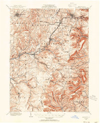 1902 Ebensburg1954 Print · USGSCambria County at the dawn of the twentieth century was a landscape of intensive rail infrastructure and mountain mining towns. Researchers can trace the Pennsylvania RR lines and find detailed footprints for settlements like Ebensburg, Cresson, and the high peak at Blue Knob.
 - 1904 Map of Ebensburg
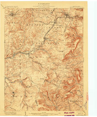 1904 Ebensburg1904 Print · USGSCambria County's industrial heartland is captured during the era of steam and steel, when the Pennsylvania RR crested the Allegheny Front. Genealogists and historians can trace the early layouts of Ebensburg, Lilly, and Gallitzin, or locate rural landmarks like Mt Hope Church.7 unique versions available
 - 1953 Map of Pittsburgh
 1953 Pittsburgh1953 Print · USGSWestern Pennsylvania's industrial landscape at the start of the fifties shows the steel and rail corridors between Pittsburgh and Altoona. Trace family roots in river towns like Tarentum or follow the Pennsylvania Turnpike across Laurel Hill.
 - 1954 Map of Pittsburgh
 1954 Pittsburgh1954 Print · USGSWestern Pennsylvania in the early fifties remains a powerhouse of heavy industry and vital transit corridors. Genealogists and historians can trace the rail-and-river network connecting Pittsburgh, Johnstown, and Altoona via the Pennsylvania RR and the Lincoln Highway.2 unique versions available
 - 1958 Map of Pittsburgh
 1958 Pittsburgh1958 Print · USGSWestern Pennsylvania in the late fifties shows an industrial heartland defined by the confluence of the Allegheny River and Monongahela River. Researchers can trace the sprawling rail networks of the Pennsylvania RR and find established towns like Butler, Latrobe, and Windber.5 unique versions available
 - 1959 Map of Pittsburgh
 1959 Pittsburgh1959 Print · USGSWestern Pennsylvania in the late fifties is captured here at the height of its industrial era. Genealogists and historians can trace the riverfront growth of Pittsburgh, the rail works at Altoona, and the mountain gaps of Laurel Hill.
 - 1963 Map of Ebensburg, 1965 Print
 1963 Ebensburg1965 Print · USGSEbensburg and the surrounding coal towns of Cambria County are captured in the early sixties during a period of industrial transition. Researchers can trace family roots through numerous local churches and cemeteries, or locate defunct industrial sites like Miller Shaft and Plane Bank along the PENNSYLVANIA railroad.5 unique versions available
 - 1964 Map of Pittsburgh
 1964 Pittsburgh1964 Print · USGSWestern Pennsylvania in the late fifties and early sixties shows a landscape of powerful river industries and expanding highways. Genealogists and historians can trace the rail corridors of the Pennsylvania RR through industrial hubs like Johnstown, Altoona, and Nanty Glo.
 - 1981 Map of Johnstown, 1983 Print
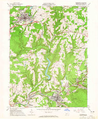
 1981 Johnstown1983 Print · USGSSouth Central Pennsylvania is captured here in the early eighties, from the industrial heart of the Conemaugh Valley to the ridges of the Allegheny Front. Local historians can trace the rail corridors of Conrail and the growth of mountain communities like Ebensburg, Nanty Glo, and Windber.
 - 2010 Map of Ebensburg, 2010 Print
 2010 Ebensburg2010 Print · USGSCovers Portage, including Ebensburg, Munster Township, and other nearby areas
 - 2013 Map of Ebensburg, 2013 Print
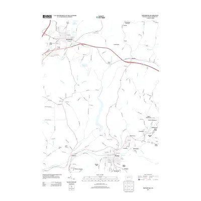 2013 Ebensburg2013 Print · USGSCovers Portage, including Ebensburg, Munster Township, and other nearby areas
 - 2016 Map of Ebensburg, 2016 Print
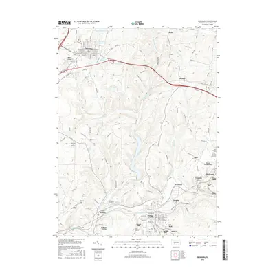 2016 Ebensburg2016 Print · USGSCovers Portage, including Ebensburg, Munster Township, and other nearby areas
 - 2019 Map of Ebensburg, 2019 Print
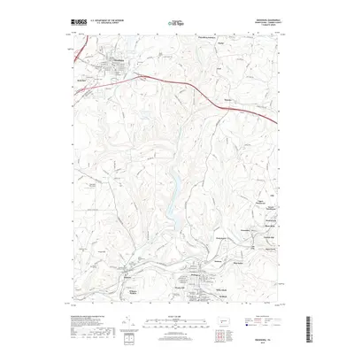 2019 Ebensburg2019 Print · USGSCovers Portage, including Ebensburg, Munster Township, and other nearby areas
 - 2023 Map of Ebensburg, 2023 Print
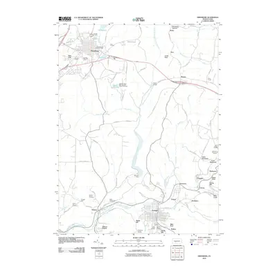
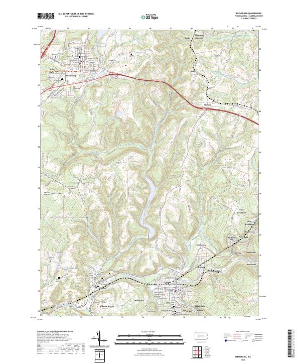 2023 Ebensburg2023 Print · USGSEbensburg and the surrounding Allegheny ridges are captured here in a period of modern preservation and deep historical memory. Researchers can trace ancestral roots through dozens of family and church sites like Old Welch Cem or locate industrial relics near Plane Bank and Miller Shaft.
End of results
Showing maps 1-14 of 14
Top cities near Portage
- Johnstown historical maps
- Franklin historical maps
- Windber historical maps
- Ebensburg historical maps
- Stonycreek Township historical maps
- Nanty Glo historical maps
See more
Frequently asked questions
- What are the different types of historical maps available for Portage?
- What is the oldest map of Portage?
- Where can I purchase historical maps of Portage for my home or office?
- Where can I download high-res historical maps of Portage?
- Are there historical topographic maps available for Portage?
- Is there historical aerial imagery available for Portage?
- Where are historical maps of Portage sourced from?