Old Maps of Driftwood, Cameron County for Metal Detecting
Plan your next treasure hunt with 20 historic maps of Driftwood. Find old homesites, ghost towns, trails, and gathering spots that may be lost to time — perfect for identifying promising metal detecting locations.
- Locate forgotten sites: Uncover places like long-lost settlements, abandoned rail lines, or gathering spots.
- Plan better hunts: Use map overlays combined with LiDAR or satellite views to narrow in on historically rich areas.
- Made for detectorists: Thousands of hobbyists use these maps to discover relics, coins, and hidden history.
Use these historic maps to boost your research and find new opportunities beneath the surface of Driftwood.
Driftwood, Cameron County maps
(20)- 1945 Map of Driftwood, 1953 Print
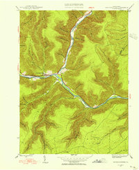
 1945 Driftwood1953 Print · USGSCameron County communities thrive along the river bends and rail lines at the end of World War II. Researchers can trace the dual rail paths of the Pennsylvania and Baltimore and Ohio railroads through Driftwood and locate the First Fork Sch.4 unique versions available
 - 1945 Map of Sinnemahoning, 1954 Print
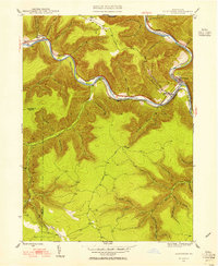
 1945 Sinnemahoning1954 Print · USGSSinnemahoning and the surrounding river valleys are captured here at the height of the steam-to-diesel rail transition. Historians can trace the competing paths of the Pennsylvania and Baltimore and Ohio railroads through Jericho and past Miller Cem.5 unique versions available
 - 1945 Map of Driftwood, 1955 Print
 1945 Driftwood1955 Print · USGSCameron and Elk Counties reveal their mid-century industrial character along the river valleys of the Allegheny Plateau. Researchers can trace the dual influence of the Baltimore and Ohio railroad and isolated mountain burial grounds like Mason Hill Cem and Mix Run Cem.3 unique versions available
 - 1947 Map of Sinnemahoning
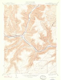 1947 Sinnemahoning1947 Print · USGSCameron and Clinton counties are depicted in the mid-1940s at a time when the railroad and river defined local life. Genealogists and historians can trace family locations near Sinnemahoning, Driftwood, and Miller Cem, or follow the Baltimore and Ohio line.2 unique versions available
 - 1947 Map of Driftwood
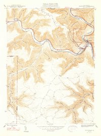 1947 Driftwood1947 Print · USGSCameron County's rugged rail corridors and remote river valleys are captured here just after the war. Researchers can trace historic family burial sites at Mason Hill Cem and Mix Run Cem or locate the old junctions at Driftwood and Castle Garden.2 unique versions available
 - 1957 Map of Warren, 1964 Print
 1957 Warren1964 Print · USGSThe northern Pennsylvania oil and timber country comes into focus in the mid-fifties, showing the region before modern highway expansions. Trace the industrial rail networks of the Pennsylvania RR and the early Allegheny River Reservoir near Warren and Oil City.4 unique versions available
 - 1958 Map of Warren
 1958 Warren1958 Print · USGSNorthern Pennsylvania’s timber and oil country is captured here during the late fifties, showing the interplay of industrial valleys and vast state forests. Genealogists can trace family connections across the Cornplanter Indian Reservation or through rail hubs like Oil City and Saint Marys.
 - 1959 Map of Warren
 1959 Warren1959 Print · USGSNorthern Pennsylvania's oil and timber country comes alive in this late-fifties study of the forest-clad plateaus. Trace the historic Cornplanter (Indian Reservation), the sprawling Oil Field, and the rail lines of the Pennsylvania RR.2 unique versions available
 - 1971 Map of Warren
 1971 Warren1971 Print · USGSNorth Central Pennsylvania is captured here in the early seventies, showing a landscape defined by industrial centers and massive state forests. Genealogists and historians can trace the rail lines of the Penn Central and Erie Lackawanna connecting towns like Warren, Kane, and Du Bois.
 - 1983 Map of Clearfield, 1984 Print
 1983 Clearfield1984 Print · USGSPennsylvania's coal and timber heartland is captured in the early eighties as industrial hubs like Du Bois and Saint Marys thrived among the state forests. Genealogists can locate family landmarks like Morningside Cemetery, the old works at Dagus Mines, and the rural community of Byrnedale.
 - 2010 Map of Driftwood, 2010 Print
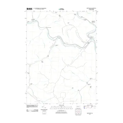 2010 Driftwood2010 Print · USGSCovers Driftwood, including Benezette Township, Hicks Run, and other nearby areas
 - 2010 Map of Sinnemahoning, 2010 Print
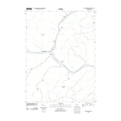 2010 Sinnemahoning2010 Print · USGSCovers Driftwood, including East Keating Township, West Keating Township, and other nearby areas
 - 2013 Map of Driftwood, 2013 Print
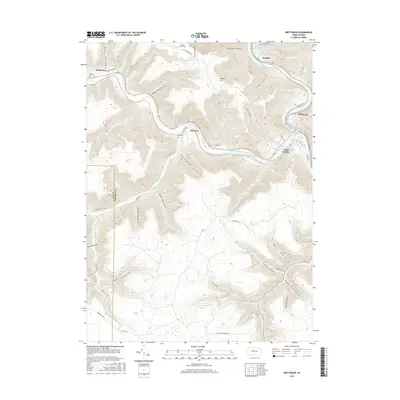
 2013 Driftwood2013 Print · USGSCovers Driftwood, including Benezette Township, Hicks Run, and other nearby areas
 - 2013 Map of Sinnemahoning, 2013 Print
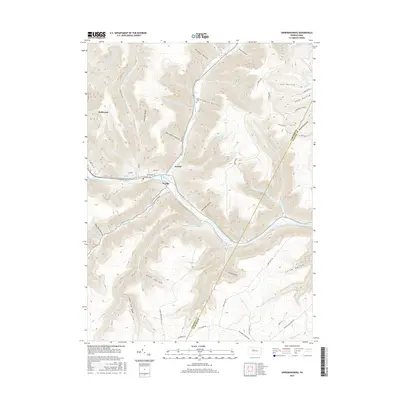
 2013 Sinnemahoning2013 Print · USGSCovers Driftwood, including East Keating Township, West Keating Township, and other nearby areas
 - 2016 Map of Driftwood, 2016 Print
 2016 Driftwood2016 Print · USGSCovers Driftwood, including Benezette Township, Hicks Run, and other nearby areas
 - 2016 Map of Sinnemahoning, 2016 Print
 2016 Sinnemahoning2016 Print · USGSCovers Driftwood, including East Keating Township, West Keating Township, and other nearby areas
 - 2019 Map of Driftwood, 2019 Print
 2019 Driftwood2019 Print · USGSCovers Driftwood, including Benezette Township, Hicks Run, and other nearby areas
 - 2019 Map of Sinnemahoning, 2019 Print
 2019 Sinnemahoning2019 Print · USGSCovers Driftwood, including East Keating Township, West Keating Township, and other nearby areas
 - 2023 Map of Driftwood, 2023 Print
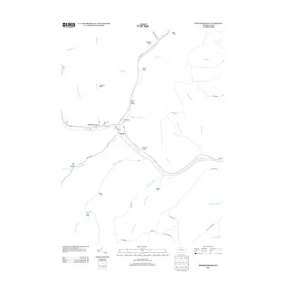
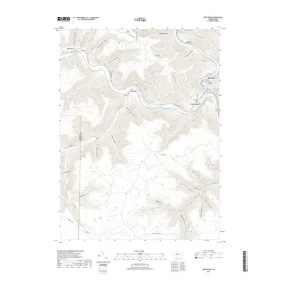
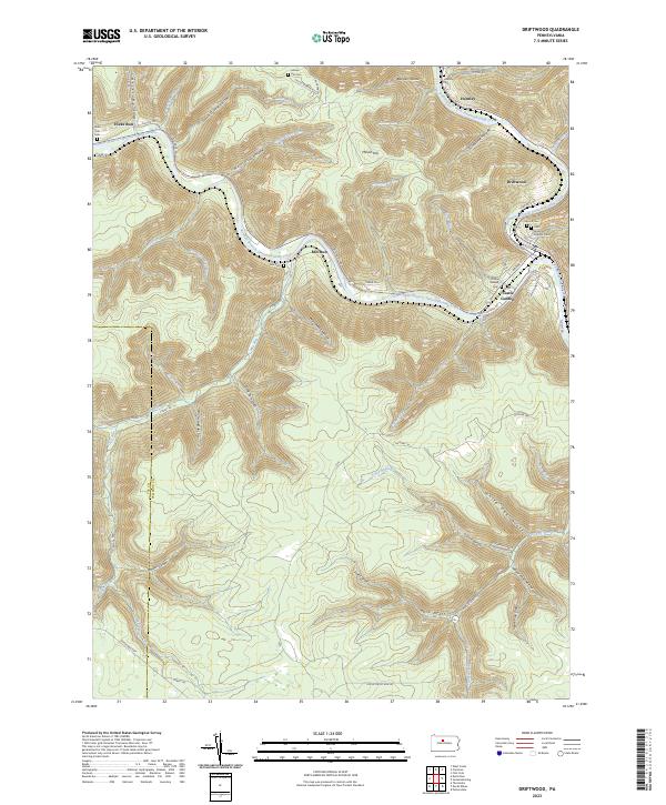 2023 Driftwood2023 Print · USGSThe confluence of the Sinnemahoning Creek branches in the early twenty-first century reveals a landscape shaped by narrow valleys and river-bound settlements. Researchers can locate several burial grounds, including Saint James Catholic Cem and Mix Cem, alongside the historic streets of Driftwood.
 - 2023 Map of Sinnemahoning, 2023 Print
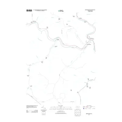
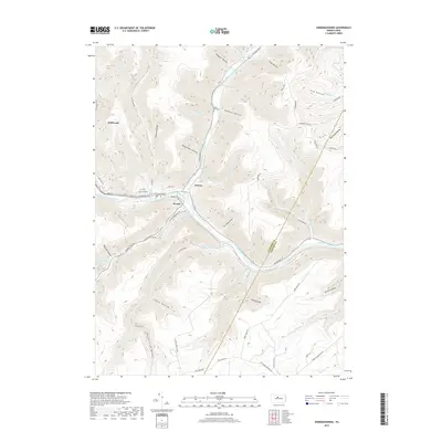
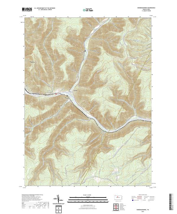 2023 Sinnemahoning2023 Print · USGSSinnemahoning Creek and its deep hollows define this area in 2023, where the river and rail lines converge near the village of Driftwood. Genealogists and hikers can trace the Miller Run Cem, Wyside Cem, and the long Bucktail Path Trl.
End of results
Showing maps 1-20 of 20
Frequently asked questions
- What are the different types of historical maps available for Driftwood?
- What is the oldest map of Driftwood?
- Where can I purchase historical maps of Driftwood for my home or office?
- Where can I download high-res historical maps of Driftwood?
- Are there historical topographic maps available for Driftwood?
- Is there historical aerial imagery available for Driftwood?
- Where are historical maps of Driftwood sourced from?