2000s (21st Century) Maps of Carbon County, Pennsylvania
Explore 80 historic maps of Carbon County from the 2000s (21st Century). These maps offer a rare glimpse into what life looked like during the 2000s — showing old roads, neighborhoods, homes, and landmarks that have changed or disappeared over time.
Whether you're researching your family's past, planning a metal detecting trip, or studying how Carbon County's landscape evolved across the 2000s, these high-resolution maps are a powerful tool for exploring the history of this region.
- Focus on a specific era: All maps on this page are from the 2000s, giving you a focused view of this time period.
- See what’s changed: Compare century-old streets, trails, and buildings to today's modern landscape using overlays and satellite layers.
- Research with precision: Use these maps for genealogy, historical research, land use analysis, or educational projects.
- View, download, or print: Maps are fully viewable online in high resolution, and can be downloaded or printed for your own records.
Start exploring Carbon County's history through authentic maps from the 2000s. This is your window into the past.
Carbon County, PA maps
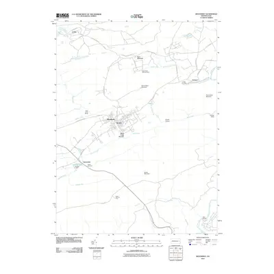
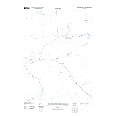
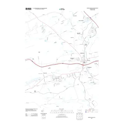
(80)- 2010 Map of Pleasant View Summit, 2010 Print
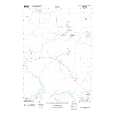 2010 Pleasant View Summit2010 Print · USGSCovers Carbon County, including Thornhurst Township, Kidder Township, and other nearby areas
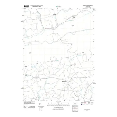
 - 2010 Map of Blakeslee, 2010 Print
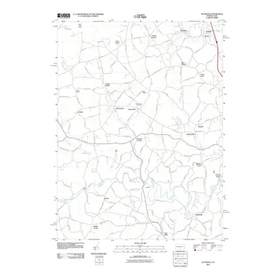
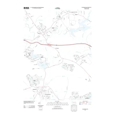
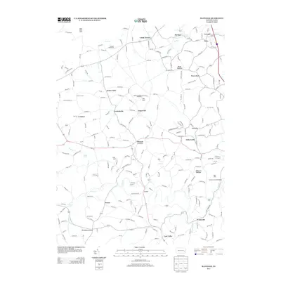
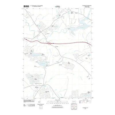 2010 Blakeslee2010 Print · USGSCovers Carbon County, including Kidder Township, William Warke's Acres, and other nearby areas
 - 2010 Map of Hickory Run, 2010 Print
 2010 Hickory Run2010 Print · USGSCovers Carbon County, including Kidder Township, Hickory Run, and other nearby areas
 - 2010 Map of White Haven, 2010 Print
 2010 White Haven2010 Print · USGSCovers Carbon County, including Fairview Township, White Haven, and other nearby areas
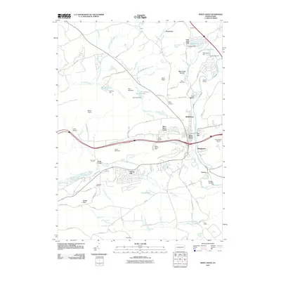
 - 2010 Map of Hazleton, 2010 Print
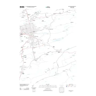
 2010 Hazleton2010 Print · USGSCovers Carbon County, including Hazleton, West Hazleton, and other nearby areas
 - 2010 Map of Tamaqua, 2010 Print
 2010 Tamaqua2010 Print · USGSCovers Carbon County, including Tamaqua, West Penn Township, and other nearby areas
 - 2010 Map of Nesquehoning, 2010 Print
 2010 Nesquehoning2010 Print · USGSCovers Carbon County, including Tamaqua, Jim Thorpe, and other nearby areas
 - 2010 Map of Christmans, 2010 Print
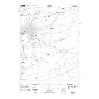
 2010 Christmans2010 Print · USGSCovers Carbon County, including Jim Thorpe, Kidder Township, and other nearby areas
 - 2010 Map of Lehighton, 2010 Print
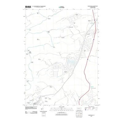
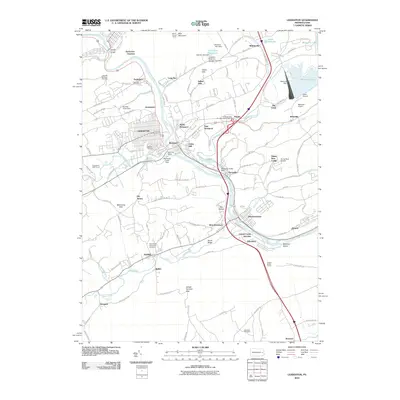 2010 Lehighton2010 Print · USGSCovers Carbon County, including Lehighton, Jim Thorpe, and other nearby areas
 - 2010 Map of Slatedale, 2010 Print
 2010 Slatedale2010 Print · USGSCovers Carbon County, including Weisenberg Township, Diebertsville, and other nearby areas
 - 2010 Map of Pohopoco Mountain, 2010 Print
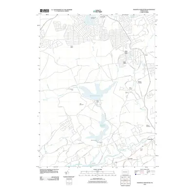 2010 Pohopoco Mountain2010 Print · USGSCovers Carbon County, including Trachsville, Meckesville, and other nearby areas
 - 2010 Map of New Tripoli, 2010 Print
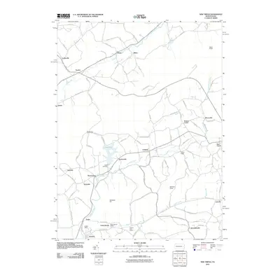 2010 New Tripoli2010 Print · USGSCovers Carbon County, including Weisenberg Township, West Penn Township, and other nearby areas
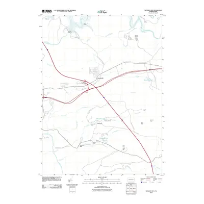
 - 2010 Map of Weatherly, 2010 Print
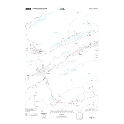
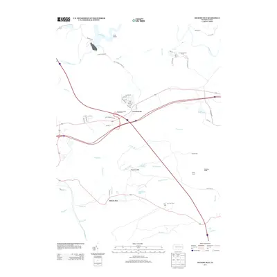
 2010 Weatherly2010 Print · USGSCovers Carbon County, including Jim Thorpe, Weatherly, and other nearby areas
 - 2010 Map of Kunkletown, 2010 Print
 2010 Kunkletown2010 Print · USGSCovers Carbon County, including Chapman, Klecknersville, and other nearby areas
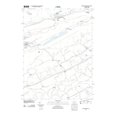
 - 2010 Map of Brodheadsville, 2010 Print
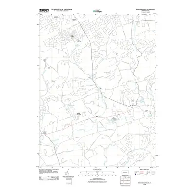 2010 Brodheadsville2010 Print · USGSCovers Carbon County, including Brodheadsville, Indian Mountain Lake, and other nearby areas
 - 2010 Map of Palmerton, 2010 Print
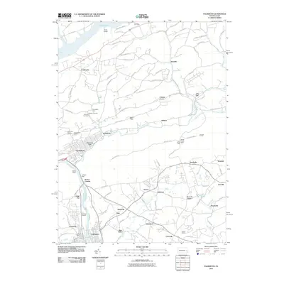 2010 Palmerton2010 Print · USGSCovers Carbon County, including Palmerton, Walnutport, and other nearby areas
 - 2013 Map of Blakeslee, 2013 Print
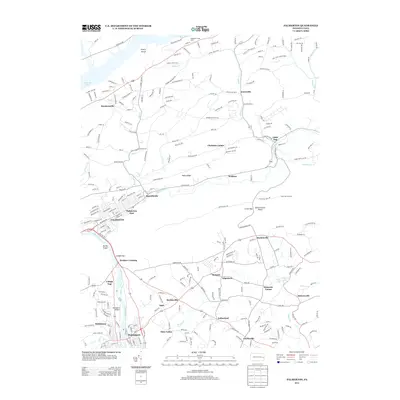
 2013 Blakeslee2013 Print · USGSCovers Carbon County, including Kidder Township, William Warke's Acres, and other nearby areas
 - 2013 Map of Hazleton, 2013 Print
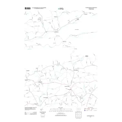
 2013 Hazleton2013 Print · USGSCovers Carbon County, including Hazleton, West Hazleton, and other nearby areas
 - 2013 Map of Tamaqua, 2013 Print
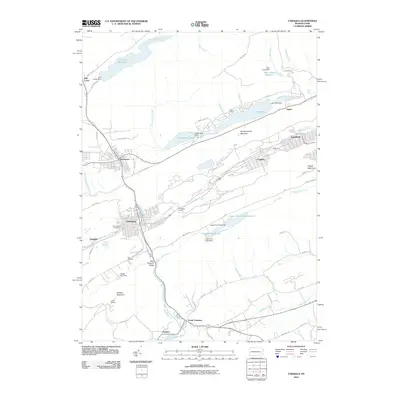
 2013 Tamaqua2013 Print · USGSCovers Carbon County, including Tamaqua, West Penn Township, and other nearby areas
 - 2013 Map of Palmerton, 2013 Print
 2013 Palmerton2013 Print · USGSCovers Carbon County, including Palmerton, Walnutport, and other nearby areas
 - 2013 Map of Slatedale, 2013 Print
 2013 Slatedale2013 Print · USGSCovers Carbon County, including Weisenberg Township, Diebertsville, and other nearby areas
 - 2013 Map of Kunkletown, 2013 Print
 2013 Kunkletown2013 Print · USGSCovers Carbon County, including Chapman, Klecknersville, and other nearby areas
 - 2013 Map of Hickory Run, 2013 Print
 2013 Hickory Run2013 Print · USGSCovers Carbon County, including Kidder Township, Hickory Run, and other nearby areas
 - 2013 Map of Pleasant View Summit, 2013 Print
 2013 Pleasant View Summit2013 Print · USGSCovers Carbon County, including Thornhurst Township, Kidder Township, and other nearby areas
 - 2013 Map of White Haven, 2013 Print
 2013 White Haven2013 Print · USGSCovers Carbon County, including Fairview Township, White Haven, and other nearby areas
Showing maps 1-25 of 80
Top cities of Carbon County
- Palmerton historical maps
- Lehighton historical maps
- Jim Thorpe historical maps
- Lansford historical maps
- Nesquehoning historical maps
- Summit Hill historical maps
See more
Frequently asked questions
- What are the different types of historical maps available for Carbon County?
- What is the oldest map of Carbon County?
- Where can I purchase historical maps of Carbon County for my home or office?
- Where can I download high-res historical maps of Carbon County?
- Are there historical topographic maps available for Carbon County?
- Is there historical aerial imagery available for Carbon County?
- Where are historical maps of Carbon County sourced from?