2000s (21st Century) Maps of Lehigh Township, Pennsylvania
Explore 20 historic maps of Lehigh Township from the 2000s (21st Century). These maps offer a rare glimpse into what life looked like during the 2000s — showing old roads, neighborhoods, homes, and landmarks that have changed or disappeared over time.
Whether you're researching your family's past, planning a metal detecting trip, or studying how Lehigh Township's landscape evolved across the 2000s, these high-resolution maps are a powerful tool for exploring the history of this region.
- Focus on a specific era: All maps on this page are from the 2000s, giving you a focused view of this time period.
- See what’s changed: Compare century-old streets, trails, and buildings to today's modern landscape using overlays and satellite layers.
- Research with precision: Use these maps for genealogy, historical research, land use analysis, or educational projects.
- View, download, or print: Maps are fully viewable online in high resolution, and can be downloaded or printed for your own records.
Start exploring Lehigh Township's history through authentic maps from the 2000s. This is your window into the past.
Lehigh Township, PA maps
(20)- 2010 Map of Hickory Run, 2010 Print
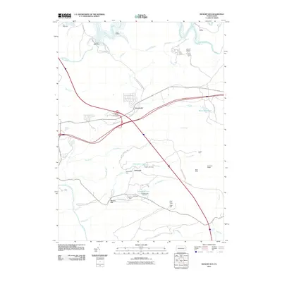 2010 Hickory Run2010 Print · USGSKidder Township and the surrounding highlands are captured here during a period of established state park conservation and recreational growth. Trace local history through the many dams and ponds like Saylorsville Dam, or locate landmarks like Camp Acahela and Boulder Field.
- 2010 Map of White Haven, 2010 Print
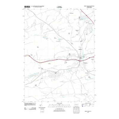 2010 White Haven2010 Print · USGSWhite Haven and the Lehigh River corridor are shown in detail at the turn of the millennium. Genealogists and local researchers can trace family landmarks and neighborhood growth in Middleburg, East Side, and the lakeside community of Penn Lake Park.
- 2010 Map of Christmans, 2010 Print
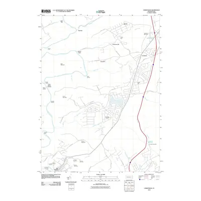 2010 Christmans2010 Print · USGSCarbon County in the early twenty-first century is defined by its deep river valleys and upland rural communities. Researchers can trace local history through the German Cemetery, the Rockport Tunnel, and the remote siding at Penn Haven Junction.
- 2010 Map of Weatherly, 2010 Print
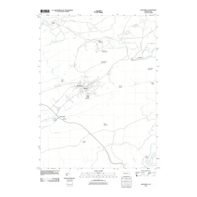 2010 Weatherly2010 Print · USGSCarbon County's high ridges and creek valleys come into focus in the early twenty-first century. Researchers can trace the layout of Weatherly, locate the historic grounds of Eckley, and follow the Lehigh River past the riverfront at Glen Onoko.
- 2013 Map of Hickory Run, 2013 Print
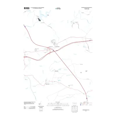 2013 Hickory Run2013 Print · USGSThe Pennsylvania highlands transition into a modern recreational landscape in the early twenty-first century. Researchers can trace the development of Leonardsville and Saylorsville alongside landmarks like Camp Acahela and Hawk Falls.
- 2013 Map of White Haven, 2013 Print
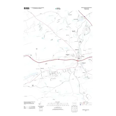 2013 White Haven2013 Print · USGSThe Lehigh River corridor in the early 2010s reveals a transition from industrial roots to forest recreation and lakeside living. Trace the development of communities like White Haven, the residential clusters at Penn Lake Park, and the steep terrain of the Lehigh Gorge.
- 2013 Map of Christmans, 2013 Print
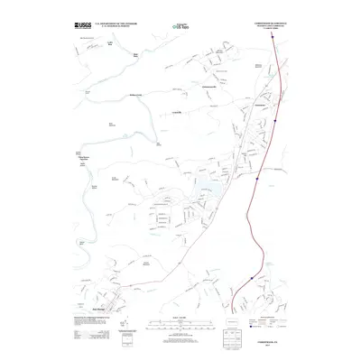 2013 Christmans2013 Print · USGSThe Pocono Mountains and the Lehigh River valley are captured here at the start of the 2010s. Researchers can locate the historic river town of Jim Thorpe, trace the tracks through Rockport Tunnel, or find the old Carbon County Farm near Christmansville.
- 2013 Map of Weatherly, 2013 Print
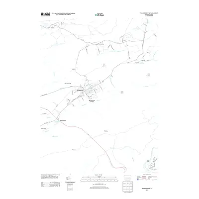 2013 Weatherly2013 Print · USGSCarbon County's upland terrain and river valleys are captured here in the early twenty-first century. Local historians can trace the developments around Weatherly and Eckley, alongside landmarks like Eurana Park Pool and Quakake Lake.
- 2016 Map of Christmans, 2016 Print
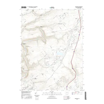 2016 Christmans2016 Print · USGSModern Jim Thorpe and the dramatic Lehigh River corridor are captured here just before the end of the two-thousands-tens. Researchers can trace the local lineage through German Cem or locate historic landmarks like the Jim Thorpe Tomb and the Rockport Tunnel.
- 2016 Map of White Haven, 2016 Print
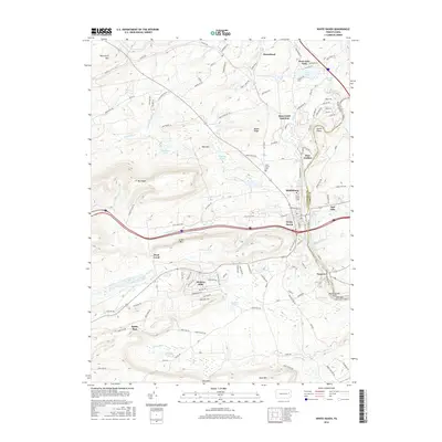 2016 White Haven2016 Print · USGSThe Lehigh River valley near the Luzerne and Carbon County line is captured here in the mid-2010s, showing a landscape shaped by water and rail. Trace the historic corridor of the Lehigh Gorge Scenic Railway and locate landmarks like Saint Patrick Cemetery, Tannery, and Middleburg.
- 2016 Map of Hickory Run, 2016 Print
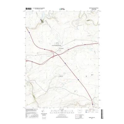 2016 Hickory Run2016 Print · USGSKidder Township and the surrounding Carbon County highlands are shown here in the mid-2010s, defined by the deep Lehigh Gorge and residential growth. Genealogists and hikers can trace the geography around Leonardsville, Hickory Run Lake, and the landmark Bear Rock.
- 2016 Map of Weatherly, 2016 Print
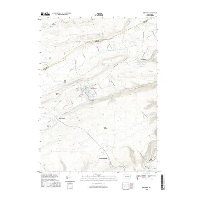 2016 Weatherly2016 Print · USGSThe coal-region boroughs and steep river gaps of Carbon County are shown here in the mid-2010s. Researchers can trace local landmarks like Eurana Park Pool in Weatherly, the remote settlement of Rockport, and the winding Lehigh River.
- 2019 Map of Christmans, 2019 Print
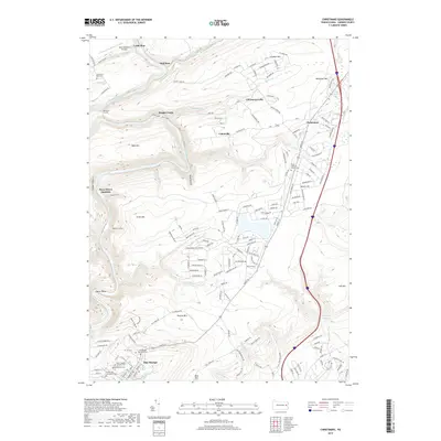 2019 Christmans2019 Print · USGSCarbon County’s steep river valleys and mountain ridges are shown here in the contemporary era, centered on the historic borough of Jim Thorpe. Researchers can locate several burial grounds including Evergreen Cem and trace the path of the Lehigh Valley RR through the Lehigh Gorge.
- 2019 Map of Weatherly, 2019 Print
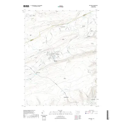 2019 Weatherly2019 Print · USGSThe anthracite region near Weatherly and Jim Thorpe comes into focus in this contemporary survey of Carbon and Luzerne Counties. Trace local roots through sites like Eckley Cem, the rail history at Black Creek Junction, and the terrain of Broad Mountain.
- 2019 Map of Hickory Run, 2019 Print
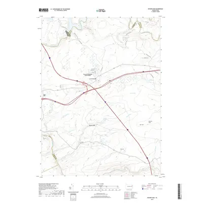 2019 Hickory Run2019 Print · USGSCarbon County’s high plateaus and river gorges come to life in this 2019 survey, showcasing a landscape defined by state parklands and mountain communities. You can trace local lineage at Hickory Run Cem or explore the early footprints of Leonardsville and Saylorsville.
- 2019 Map of White Haven, 2019 Print
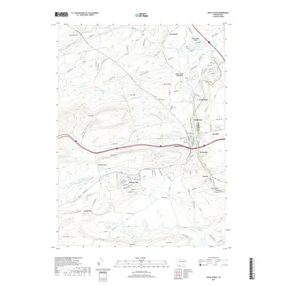 2019 White Haven2019 Print · USGSThe Lehigh River corridor in the late 2010s reveals a landscape of industrial heritage and modern residential enclaves. Genealogists and historians can trace the foundations of White Haven, explore the legacy of Tannery, and locate family burial sites at Saint Patrick Cem.
- 2023 Map of White Haven, 2023 Print
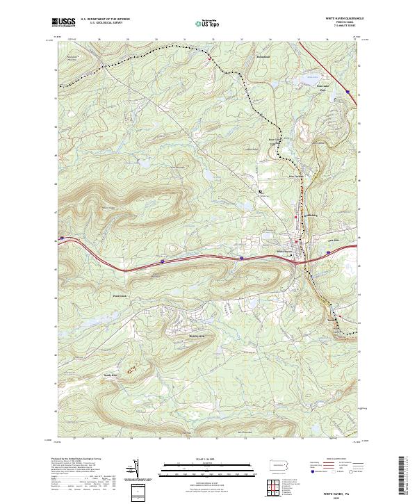 2023 White Haven2023 Print · USGSThe Lehigh River corridor near White Haven is documented here in the early twenty-first century, showing a landscape shaped by coal-era industry and modern recreation. Trace local family roots at Laurel Cem or explore historical settlements like Tannery and Middleburg along the water.
- 2023 Map of Christmans, 2023 Print
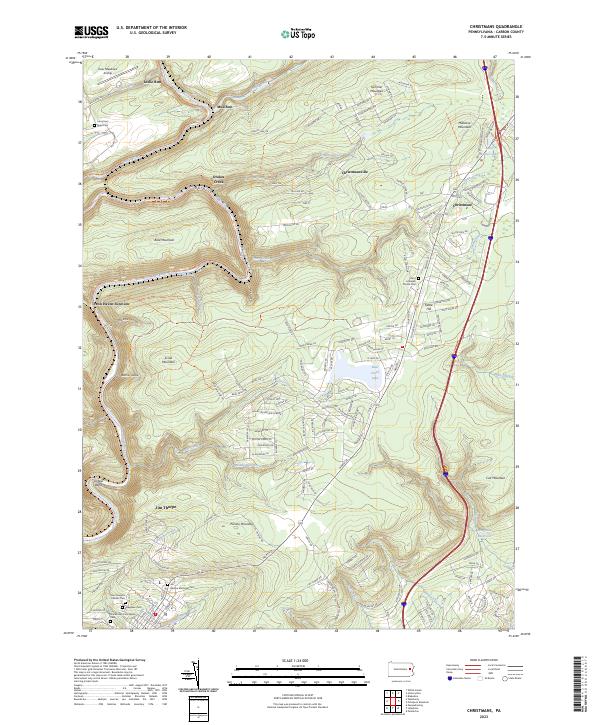 2023 Christmans2023 Print · USGSThe Lehigh River corridor and its sharp mountain bends define this Carbon County landscape in the early twenty-first century. Genealogists and local historians can trace family sites at Jim Thorpe, Christmansville, and the Jim Thorpe Memorial Cem.
- 2023 Map of Weatherly, 2023 Print
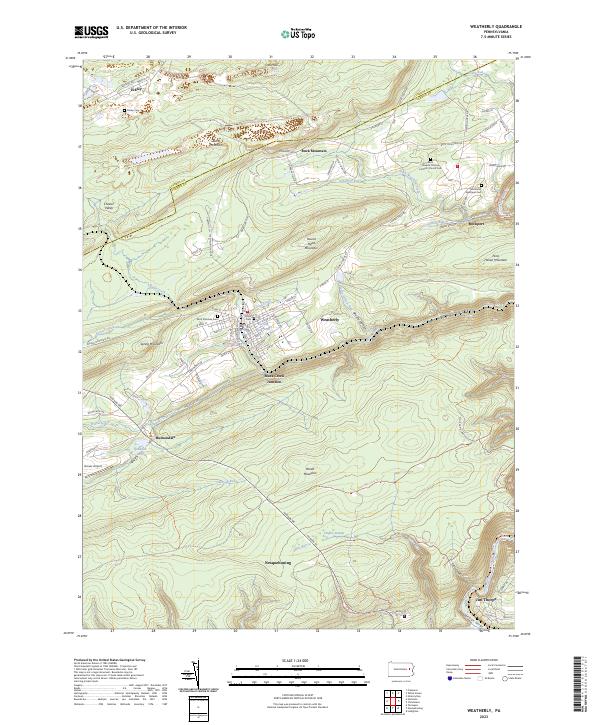 2023 Weatherly2023 Print · USGSThe Carbon County coal region and the steep Lehigh River corridor are shown here in recent detail. Researchers can locate family sites at Saint Josephs Roman Catholic Church Cem, Eckley Cem, and the borough of Weatherly.
- 2023 Map of Hickory Run, 2023 Print
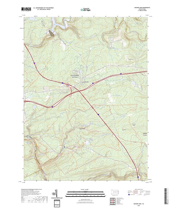 2023 Hickory Run2023 Print · USGSThe high plateau of the Carbon County Poconos is captured here in the early twenty-first century, showing a landscape defined by state park lands and residential enclaves. Researchers can locate the Hickory Run Cem and trace the many drainages like Sand Spring Run and Tobyhanna Creek.
End of results
Showing maps 1-20 of 20
Top cities near Lehigh Township
- Hazleton historical maps
- Tamaqua historical maps
- Palmerton historical maps
- Lehighton historical maps
- Jim Thorpe historical maps
- Slatington historical maps
See more
Top neighborhoods of Lehigh Township
- Leslie Run historical maps
- Penn Haven historical maps
- Rockport historical maps
- CP Independence historical maps
Frequently asked questions
- What are the different types of historical maps available for Lehigh Township?
- What is the oldest map of Lehigh Township?
- Where can I purchase historical maps of Lehigh Township for my home or office?
- Where can I download high-res historical maps of Lehigh Township?
- Are there historical topographic maps available for Lehigh Township?
- Is there historical aerial imagery available for Lehigh Township?
- Where are historical maps of Lehigh Township sourced from?